
QXS-SAROPT
收藏资源简介:
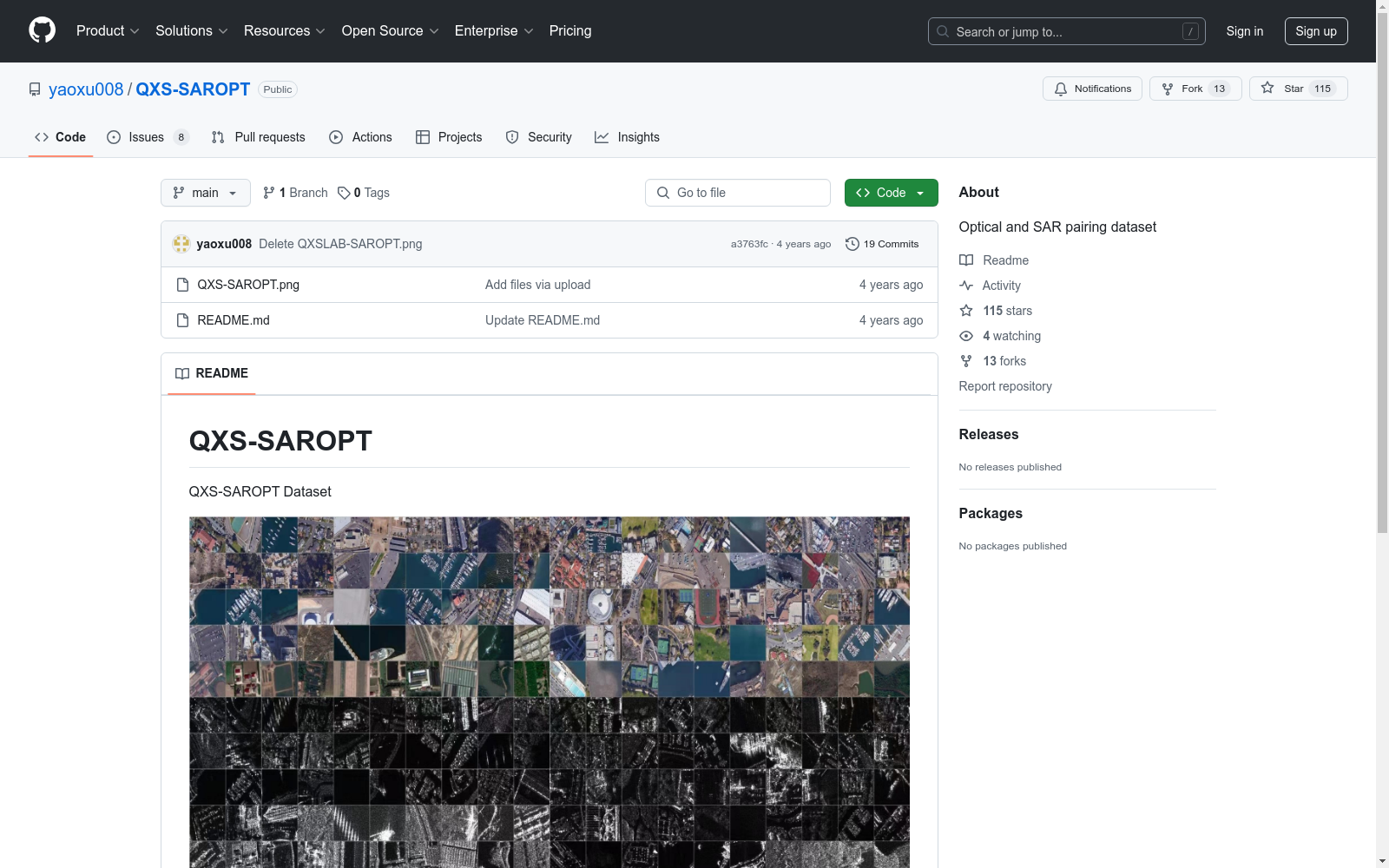
QXS-SAROPT数据集由钱学森空间技术实验室创建,包含20,000对高分辨率(1米)的合成孔径雷达(SAR)和光学卫星图像补丁,覆盖了圣地亚哥、上海和青岛三个港口城市。数据集通过从高分三号卫星获取SAR图像和从Google Earth获取光学图像来创建。该数据集旨在推动基于深度学习的SAR-光学数据融合技术的发展,特别适用于SAR-光学图像匹配和SAR船舶检测等应用。
The QXS-SAROPT dataset was created by the Qian Xuesen Laboratory of Space Technology. It contains 20,000 pairs of 1-meter high-resolution synthetic aperture radar (SAR) and optical satellite image patches, covering three port cities: San Diego, Shanghai, and Qingdao. The dataset is constructed by acquiring SAR images from the Gaofen-3 satellite and optical images sourced from Google Earth. This dataset aims to advance the development of deep learning-based SAR-optical data fusion technologies, and is particularly applicable to scenarios including SAR-optical image matching and SAR ship detection.
- 1The QXS-SAROPT Dataset for Deep Learning in SAR-Optical Data Fusion钱学森空间技术实验室 · 2021年


