
HILDA+ Global Land Use Change between 1960 and 2019
收藏DataCite Commons2025-04-24 更新2025-04-16 收录
下载链接:
https://doi.pangaea.de/10.1594/PANGAEA.921846
下载链接
链接失效反馈官方服务:
资源简介:
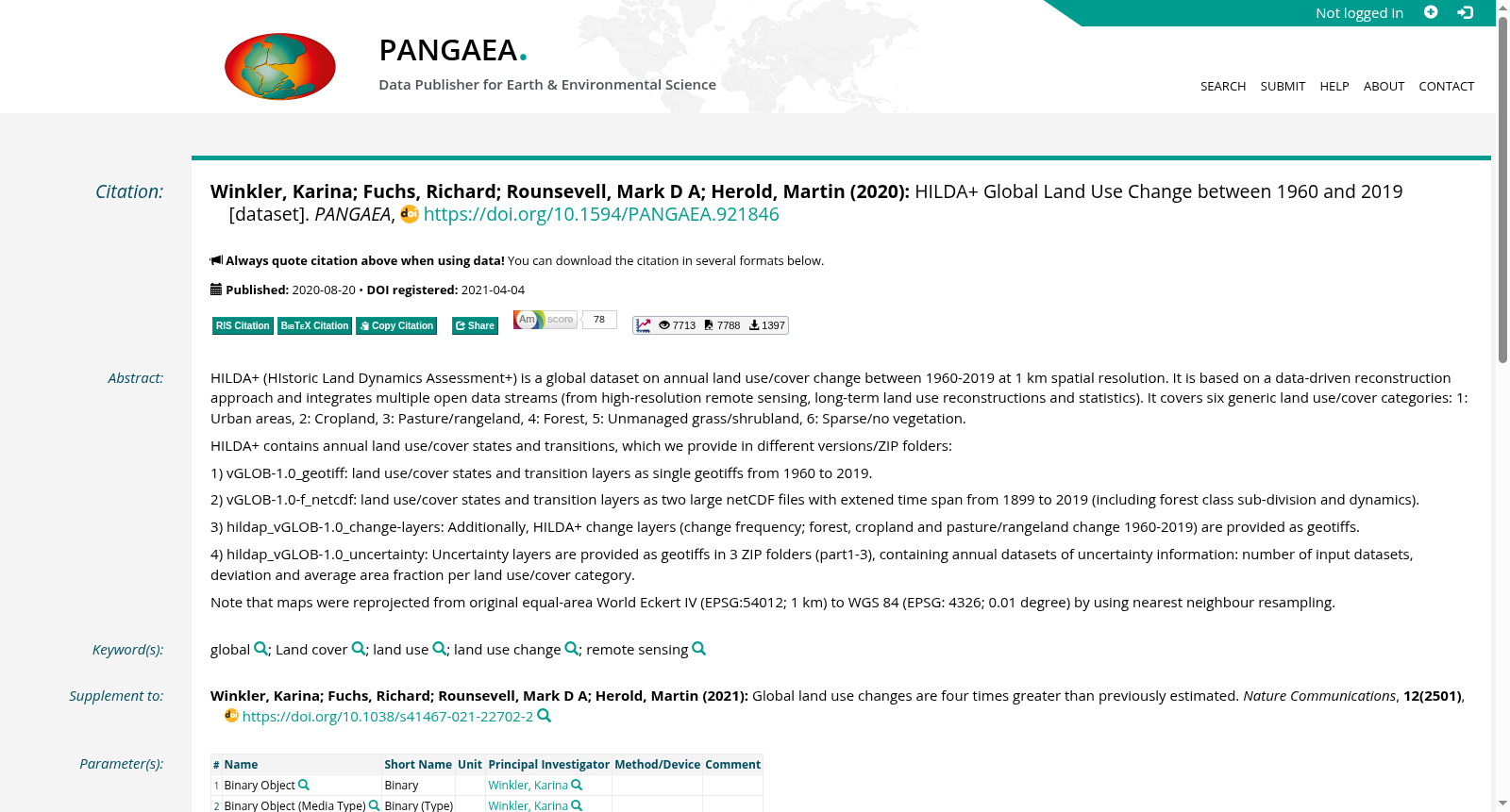
HILDA+ (HIstoric Land Dynamics Assessment+) is a global dataset on annual land use/cover change between 1960-2019 at 1 km spatial resolution. It is based on a data-driven reconstruction approach and integrates multiple open data streams (from high-resolution remote sensing, long-term land use reconstructions and statistics). It covers six generic land use/cover categories: 1: Urban areas, 2: Cropland, 3: Pasture/rangeland, 4: Forest, 5: Unmanaged grass/shrubland, 6: Sparse/no vegetation.HILDA+ contains annual land use/cover states and transitions, which we provide in different versions/ZIP folders:1) vGLOB-1.0_geotiff: land use/cover states and transition layers as single geotiffs from 1960 to 2019. 2) vGLOB-1.0-f_netcdf: land use/cover states and transition layers as two large netCDF files with extened time span from 1899 to 2019 (including forest class sub-division and dynamics). 3) hildap_vGLOB-1.0_change-layers: Additionally, HILDA+ change layers (change frequency; forest, cropland and pasture/rangeland change 1960-2019) are provided as geotiffs. 4) hildap_vGLOB-1.0_uncertainty: Uncertainty layers are provided as geotiffs in 3 ZIP folders (part1-3), containing annual datasets of uncertainty information: number of input datasets, deviation and average area fraction per land use/cover category.Note that maps were reprojected from original equal-area World Eckert IV (EPSG:54012; 1 km) to WGS 84 (EPSG: 4326; 0.01 degree) by using nearest neighbour resampling.
HILDA+(历史土地动态评估+,HIstoric Land Dynamics Assessment+)是一款全球尺度的土地利用/覆被变化数据集,涵盖1960年至2019年间逐年的土地利用/覆被变化信息,空间分辨率为1千米。本数据集采用数据驱动的重建方法构建,整合了多源开放数据流,包括高分辨率遥感数据、长期土地利用重建数据及统计数据。其包含六大通用土地利用/覆被类别:1. 城市用地;2. 耕地;3. 牧场/草原;4. 森林;5. 天然草本/灌丛地;6. 稀疏植被/无植被区。HILDA+包含逐年的土地利用/覆被状态与转移数据,我们以不同版本的ZIP压缩包形式提供如下数据集:1) vGLOB-1.0_geotiff:包含1960年至2019年的土地利用/覆被状态与转移图层,均以GeoTIFF格式存储。2) vGLOB-1.0-f_netcdf:包含土地利用/覆被状态与转移图层,以两个大型netCDF文件存储,时间跨度扩展至1899年至2019年,包含森林类别的细分类型及其动态变化信息。3) hildap_vGLOB-1.0_change-layers:额外提供HILDA+变化图层,包括变化频率图层以及1960年至2019年间森林、耕地和牧场/草原的变化图层,均以GeoTIFF格式存储。4) hildap_vGLOB-1.0_uncertainty:不确定性图层以3个ZIP压缩包(part1-3)形式提供,包含逐年的不确定性信息数据集,具体包括输入数据集数量、偏差值以及各土地利用/覆被类别的平均面积占比。请注意,所有地图均通过最近邻重采样方法,从原始的等面积世界埃克特IV投影(EPSG:54012;1千米分辨率)重投影至WGS 84坐标系(EPSG:4326;0.01度分辨率)。
提供机构:
PANGAEA
创建时间:
2021-04-04
搜集汇总
数据集介绍
背景与挑战
背景概述
HILDA+数据集是一个全球性的土地利用/覆盖变化数据集,时间跨度为1960年至2019年,空间分辨率为1公里,包含六种主要的土地利用/覆盖类别。数据集提供了多种数据格式和不确定性图层,适用于全球土地利用变化的研究。
以上内容由遇见数据集搜集并总结生成



