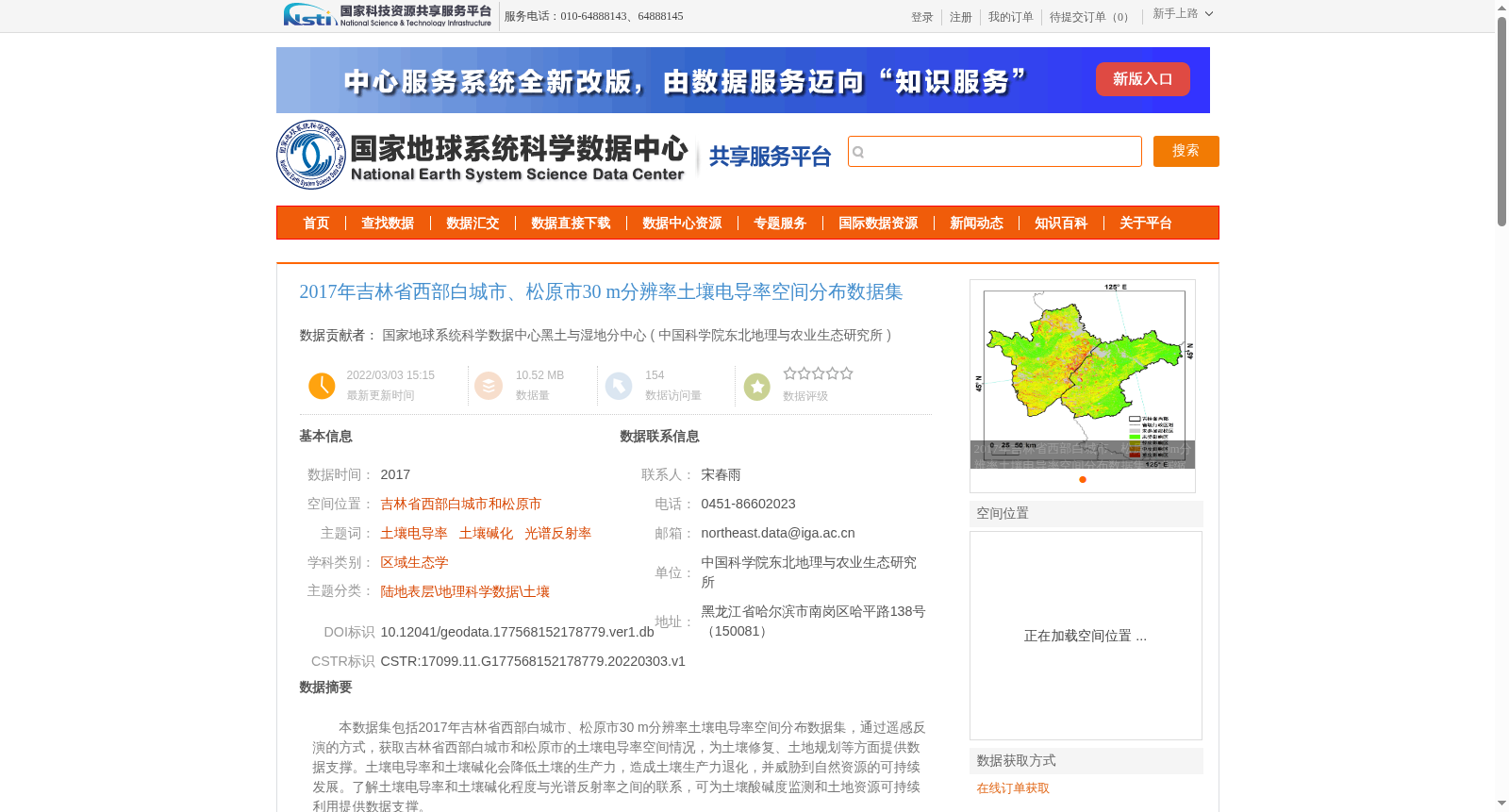
2017年吉林省西部白城市、松原市30 m分辨率土壤电导率空间分布数据集
收藏资源简介:
本数据集包括2017年吉林省西部白城市、松原市30 m分辨率土壤电导率空间分布数据集,通过遥感反演的方式,获取吉林省西部白城市和松原市的土壤电导率空间情况,为土壤修复、土地规划等方面提供数据支撑。土壤电导率和土壤碱化会降低土壤的生产力,造成土壤生产力退化,并威胁到自然资源的可持续发展。了解土壤电导率和土壤碱化程度与光谱反射率之间的联系,可为土壤酸碱度监测和土地资源可持续利用提供数据支撑。
This dataset provides the 30 m-resolution spatial distribution data of soil electrical conductivity for Baicheng City and Songyuan City, western Jilin Province in 2017. The spatial distribution of soil electrical conductivity in this region was derived via remote sensing inversion, which offers data support for applications such as soil remediation and land planning. Soil electrical conductivity and soil alkalization can reduce soil productivity, lead to soil degradation, and pose threats to the sustainable development of natural resources. Gaining insights into the relationship between soil electrical conductivity, the degree of soil alkalization and spectral reflectance can provide valuable data support for soil pH monitoring and the sustainable utilization of land resources.