中国5公里地表每天太阳辐射数据集(2007-2018)
收藏国家地球系统科学数据中心2022-04-15 更新2024-04-21 收录
下载链接:
https://www.geodata.cn/data/datadetails.html?dataguid=28011653923092&docId=9387
下载链接
链接失效反馈官方服务:
资源简介:
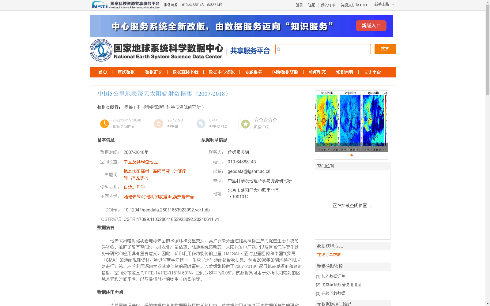
地表太阳辐射驱动着地球表面的水循环和能量交换,其扩散成分通过提高植物生产力促进生态系统的碳吸收。准确了解其空间分布对农业产量估算、陆地系统碳动态、太阳能发电厂选址以及区域气候变化趋势等研究和应用具有重要意义。因此,我们利用多功能传输卫星(MTSAT)逐时卫星图像和中国气象局(CMA)的地面观测资料,通过深度学习技术,生成了逐时地面辐射数据集。利用2008年的训练样本对深网进行训练,然后利用深网生成其他年份的逐时辐射。该数据集提供了2007-2018年逐日地表总辐射和散射辐射,空间分布范围为71°E-141°E和15°N-60°N,空间分辨率为0.05°。该数据集可用于分析太阳辐射的区域差异和时间周期,以及漫辐射对植物生长的影响等。
Surface solar radiation drives the water cycle and energy exchange on the Earth's surface, and its diffuse component promotes carbon sequestration in ecosystems by enhancing plant productivity. Accurate knowledge of its spatial distribution is of great significance for research and applications such as agricultural yield estimation, terrestrial carbon dynamics, solar power plant siting, and regional climate change trend analysis. Therefore, we generated an hourly surface radiation dataset using hourly satellite images from the Multi-functional Transport Satellite (MTSAT) and ground observation data from the China Meteorological Administration (CMA) via deep learning techniques. The deep network was trained with training samples from 2008, and then utilized to produce hourly surface radiation data for other years. This dataset provides daily total surface radiation and diffuse radiation spanning 2007 to 2018, with a spatial coverage of 71°E–141°E and 15°N–60°N, and a spatial resolution of 0.05°. It can be applied to analyze regional disparities and temporal variations of solar radiation, as well as the impacts of diffuse radiation on plant growth, among other research and application scenarios.
提供机构:
中国科学院地理科学与资源研究所
创建时间:
2021-06-11
搜集汇总
数据集介绍
背景与挑战
背景概述
该数据集提供了2007年至2018年中国及周边区域(71°E-141°E,15°N-60°N)每天的地表总辐射和散射辐射数据,空间分辨率为5公里(0.05°),基于卫星和地面观测资料通过深度学习技术生成。其特点在于高时空分辨率,适用于分析太阳辐射的区域差异、时间周期变化,以及支持农业、能源和气候变化等领域的应用研究。
以上内容由遇见数据集搜集并总结生成


