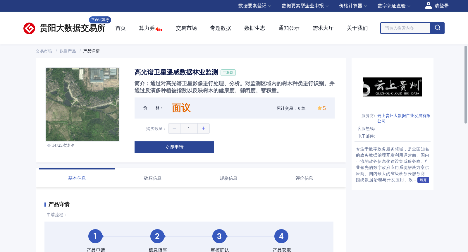
高光谱卫星遥感数据林业监测
收藏贵阳数据交易所2023-05-22 更新2024-03-01 收录
下载链接:
https://www.gzdex.com.cn/market/detail/2234
下载链接
链接失效反馈官方服务:
资源简介:
通过对高光谱卫星影像进行处理、分析。对监测区域内的树木种类进行识别。并通过反演多种植被指数以反映树木的健康度、郁闭度、蓄积量。
This dataset involves processing and analyzing hyperspectral satellite imagery to identify tree species within the monitored area, as well as inverting multiple vegetation indices to reflect the health status, canopy closure and standing volume of the trees.
提供机构:
贵州大数据产业集团有限公司
创建时间:
2023-05-22
搜集汇总
数据集介绍
背景与挑战
背景概述
该数据集基于高光谱卫星影像分析,用于识别监测区域的树种类型,并通过植被指数反演评估树木健康状况、郁闭度和蓄积量等指标。
以上内容由遇见数据集搜集并总结生成


