2米分辨率全国一张图(2019)
收藏资源简介:
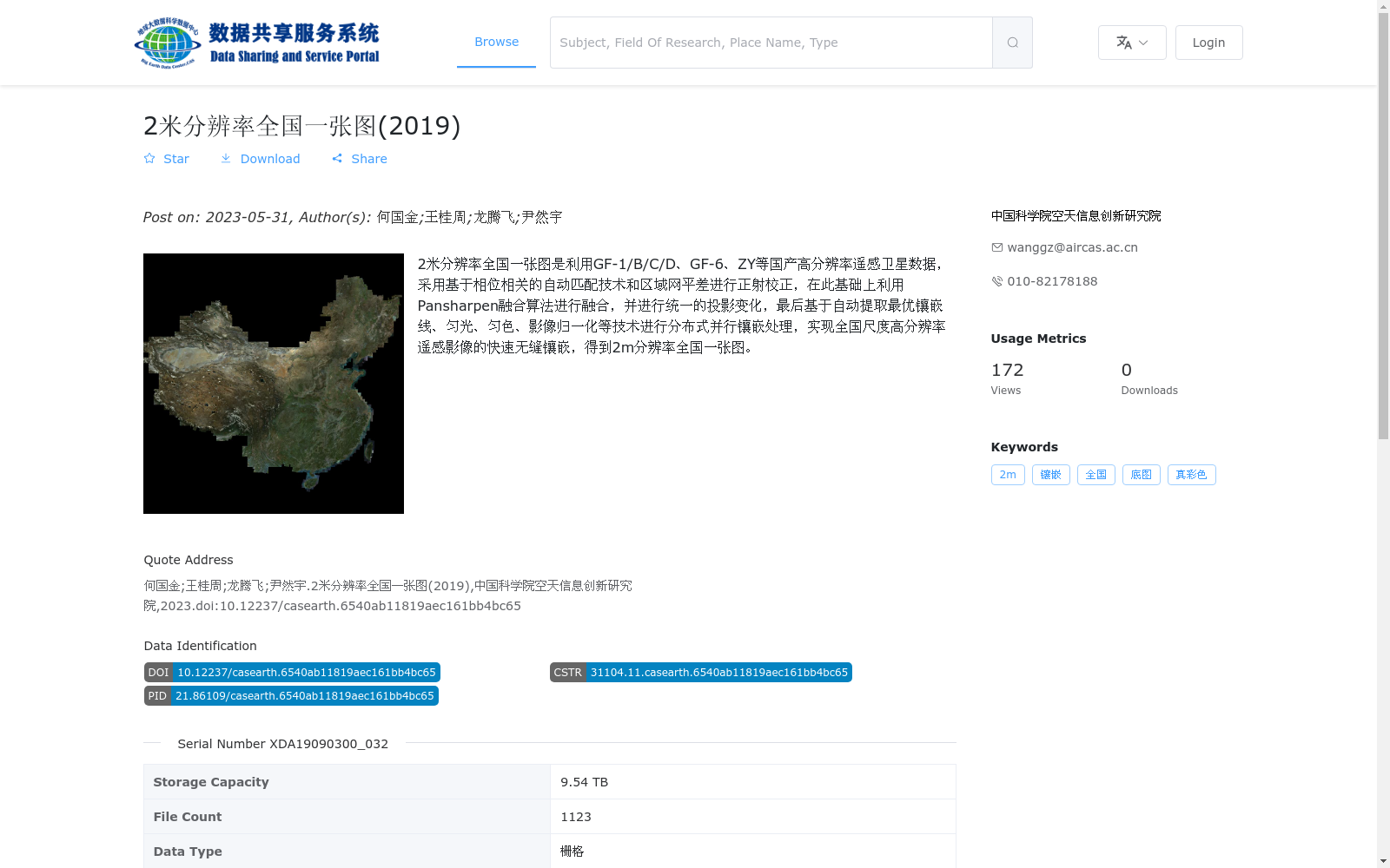
2米分辨率全国一张图是利用GF-1/B/C/D、GF-6、ZY等国产高分辨率遥感卫星数据,采用基于相位相关的自动匹配技术和区域网平差进行正射校正,在此基础上利用Pansharpen融合算法进行融合,并进行统一的投影变化,最后基于自动提取最优镶嵌线、匀光、匀色、影像归一化等技术进行分布式并行镶嵌处理,实现全国尺度高分辨率遥感影像的快速无缝镶嵌,得到2m分辨率全国一张图。
The 2-meter-resolution national seamless mosaic image is developed using domestic high-resolution remote sensing satellite data including GF-1/B/C/D, GF-6, ZY series and other satellites. The processing workflow first conducts orthorectification via phase correlation-based automatic matching technology and block adjustment, then performs image fusion with the Pansharpen fusion algorithm, followed by unified projection transformation, and finally carries out distributed parallel mosaic processing based on technologies such as automatic optimal mosaic line extraction, illumination correction, color balancing and image normalization. This workflow enables fast and seamless mosaicking of national-scale high-resolution remote sensing images, yielding the final 2-meter-resolution national seamless mosaic product.