申扎站高寒草原气象监测数据(2015-2018)
收藏地球大数据科学工程2024-04-26 收录
下载链接:
https://data.casearth.cn/sdo/detail/5feae825819aec33049b7bef
下载链接
链接失效反馈官方服务:
资源简介:
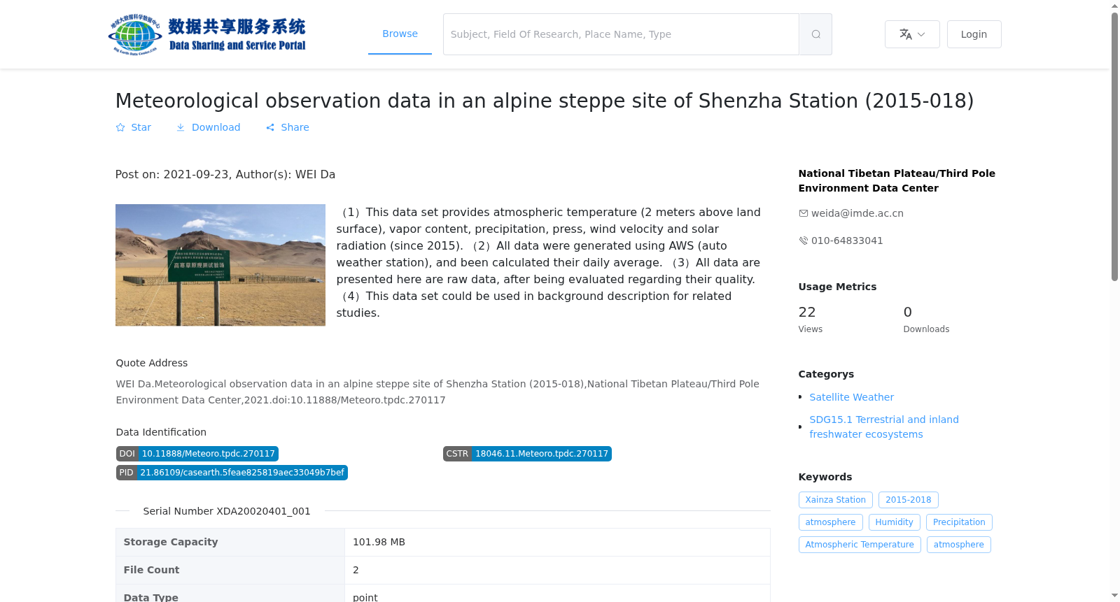
(1)数据提供了申扎站高寒草原观测场的空气温度(地面2米)、湿度、降水、气压、风速、辐射等关键气象要素的监测(2015年--至今)。中国科学院申扎高寒草原与湿地观测试验站是海拔4730米,是青藏高原第一个针对高寒草原建立的综合生态监测站。申扎生态监测站地处藏北腹地,位于冈底斯山和色林错之间,属南羌塘高原大湖盆地带,地势较缓,丘陵、高山与盆地相间。气候属于高原亚寒带半干旱季风气候区,紫花针茅群落是该区的优势群落。
(2)数据由自动气象站采集,并进行了日均值处理;
(3)已对数据质量进行检查,所有数据均为原始数据;
(4)数据集可作为相关研究的基础数据使用。
(1) This dataset provides monitoring data of key meteorological elements including air temperature at 2 meters above ground, humidity, precipitation, atmospheric pressure, wind speed and radiation at the alpine grassland observation field of Shenzha Station, covering the period from 2015 to present. The Shenzha Alpine Grassland and Wetland Ecological Research Station of the Chinese Academy of Sciences (CAS) is situated at an altitude of 4730 meters, and it is the first comprehensive ecological monitoring station established exclusively for alpine grasslands on the Qinghai-Tibet Plateau. Located in the hinterland of northern Tibet, between the Gangdise Mountains and Lake Siling Co, the Shenzha Ecological Monitoring Station falls within the large lake basin region of the southern Qiangtang Plateau, featuring relatively gentle terrain interspersed with hills, mountains and basins. The local climate belongs to the plateau subfrigid semi-arid monsoon climate zone, and the *Stipa purpurea* community is the dominant community in this area.
(2) The data were collected by an automatic weather station and processed into daily mean values;
(3) Data quality checks have been conducted, and all data are original raw data;
(4) This dataset can be used as foundational data for relevant research studies.
提供机构:
国家青藏高原科学数据中心
搜集汇总
数据集介绍
背景与挑战
背景概述
该数据集包含2015年至2018年申扎站高寒草原地区的气象观测数据,涵盖大气温度、水汽含量、降水、气压、风速和太阳辐射等指标,数据通过自动气象站采集并经过质量评估,以日平均值形式提供。数据适用于相关研究的背景描述。
以上内容由遇见数据集搜集并总结生成


