2000-2020一带一路经济廊道500m山地绿色覆盖指数数据集
收藏地球大数据科学工程2024-04-26 收录
下载链接:
https://data.casearth.cn/sdo/detail/636e17ed819aec5df66b523d
下载链接
链接失效反馈官方服务:
资源简介:
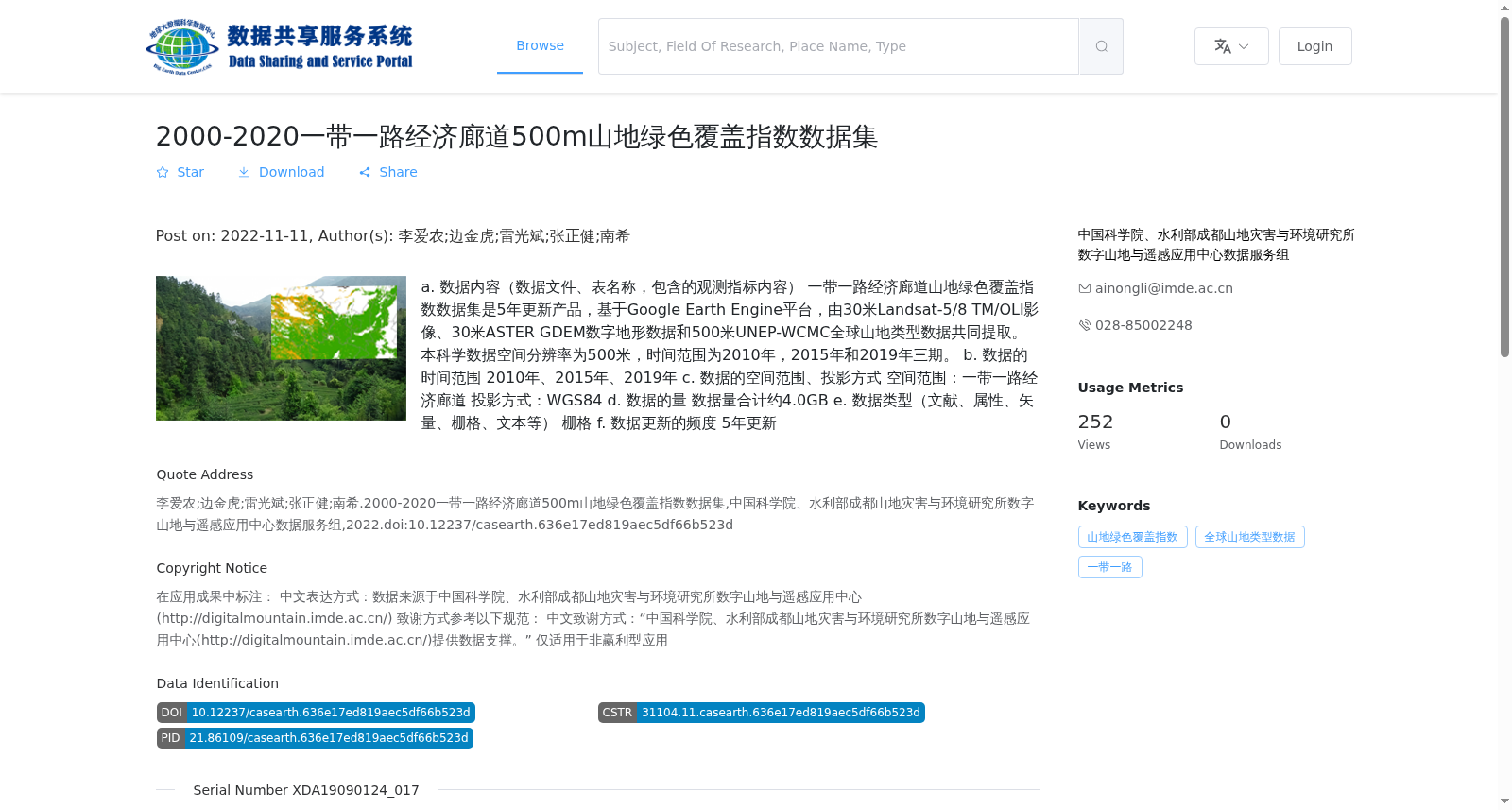
a. 数据内容(数据文件、表名称,包含的观测指标内容)
一带一路经济廊道山地绿色覆盖指数数据集是5年更新产品,基于Google Earth Engine平台,由30米Landsat-5/8 TM/OLI影像、30米ASTER GDEM数字地形数据和500米UNEP-WCMC全球山地类型数据共同提取。本科学数据空间分辨率为500米,时间范围为2010年,2015年和2019年三期。
b. 数据的时间范围
2010年、2015年、2019年
c. 数据的空间范围、投影方式
空间范围:一带一路经济廊道
投影方式:WGS84
d. 数据的量
数据量合计约4.0GB
e. 数据类型(文献、属性、矢量、栅格、文本等)
栅格
f. 数据更新的频度
5年更新
a. Data Content (data files, table names, included observation indicators):
The Mountain Green Cover Index Dataset for the Belt and Road Economic Corridors is a 5-year updated product developed on the Google Earth Engine platform, jointly extracted from 30-meter Landsat-5/8 TM/OLI imagery, 30-meter ASTER GDEM digital terrain data, and 500-meter UNEP-WCMC global mountain type data. This scientific dataset has a spatial resolution of 500 meters, covering three time periods: 2010, 2015, and 2019.
b. Temporal Coverage: 2010, 2015, 2019
c. Spatial Coverage and Projection: Spatial coverage covers the Belt and Road Economic Corridors; projection is WGS84.
d. Total Data Volume: Approximately 4.0 GB
e. Data Type: Raster
f. Update Frequency: Every 5 years
提供机构:
中国科学院、水利部成都山地灾害与环境研究所数字山地与遥感应用中心数据服务组
搜集汇总
数据集介绍
背景与挑战
背景概述
该数据集是2000-2020年一带一路经济廊道500米山地绿色覆盖指数数据集,基于Google Earth Engine平台融合多源遥感数据提取,提供2010年、2015年和2019年三期栅格数据,空间分辨率为500米,总数据量约4.0GB,每5年更新一次,适用于非赢利型应用以评估山地绿色覆盖变化。
以上内容由遇见数据集搜集并总结生成


