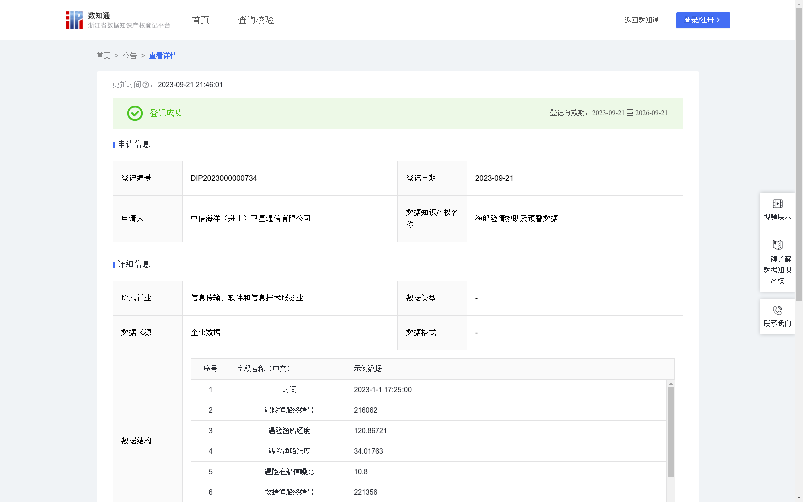
渔船险情救助及预警数据
收藏浙江省数据知识产权登记平台2023-09-21 更新2024-05-08 收录
下载链接:
https://www.zjip.org.cn/home/announce/trends/3244
下载链接
链接失效反馈官方服务:
资源简介:
海上作业渔船发生险情,渔船向陆地指挥中心发出救援信息,陆地指挥中心以遇险渔船经纬度位置为中心,在指挥平台搜索自定义直径范围内的渔船,由近及远生成列表,指挥中心调度就近救援船只,前往遇险渔船位置实施救援。救援完成后,在救助平台地图上标注险情事发地及险情种类,通过前端船载终端,为后续过往船只提供预警信息。指挥调度平台输入遇险渔船经纬度位置,确定救援中心。服务后台将以救助点为(rlng,rlat),自定义救援指挥直径,确定救助指挥范围,遍历卫星信号畅通的船只经纬度(lng,lat)),使用地图API计算各船只距离救助点距离meters = AMap.GeometryUtil.distance((rlng,rlat), (lng,lat))/1000,将符合指挥设定距离以内的船只信息加入救助指挥船只数组boatList.push(new infoObject(e.getBoatNum(),meters.toFixed(1),e.getSeaMobile())),该船只高亮显示,不符合指挥距离的船只虚化显示。遍历完成后绘制救助指挥圈,将救助船只数组中船只按距离由近至远排序并形成列表boatList.sort(function(a,b){return a.distance-b.distance})。
When a fishing vessel engaged in offshore operations encounters an emergency, a rescue request is sent to the land-based command center. The land-based command center takes the longitude and latitude coordinates of the distressed fishing vessel as the center, searches for vessels within a user-defined diameter range on the command platform, generates a list sorted from nearest to farthest, and dispatches the nearest rescue vessel to the location of the distressed fishing vessel to conduct rescue operations. After the rescue is completed, the emergency location and emergency type are marked on the rescue platform map, and early warning information is provided for subsequent passing vessels via the front-end shipborne terminal. The command and dispatch platform inputs the longitude and latitude coordinates of the distressed fishing vessel to determine the rescue center. The service backend takes the rescue point (rlng, rlat) and the user-defined rescue command diameter to define the rescue command scope, traverses the longitude and latitude coordinates (lng, lat) of vessels with unobstructed satellite signals, uses the map API to calculate the distance between each vessel and the rescue point: meters = AMap.GeometryUtil.distance((rlng, rlat), (lng, lat))/1000, adds the information of vessels within the set command distance to the rescue command vessel array via boatList.push(new infoObject(e.getBoatNum(), meters.toFixed(1), e.getSeaMobile())), highlights these vessels, and dims vessels that do not meet the command distance requirement. After completing the traversal, the rescue command circle is drawn, the vessels in the rescue vessel array are sorted by distance from nearest to farthest, and the final list is generated with boatList.sort(function(a,b){return a.distance - b.distance}).
提供机构:
中信海洋(舟山)卫星通信有限公司
创建时间:
2023-09-07
搜集汇总
数据集介绍
特点
渔船险情救助及预警数据由中信海洋(舟山)卫星通信有限公司提供,包含3039条记录,每20秒更新一次。数据用于渔船遇险时的救援调度和预警,包含遇险和救援渔船的详细信息及险情种类。
以上内容由遇见数据集搜集并总结生成


