olmoearth_lcc
收藏资源简介:
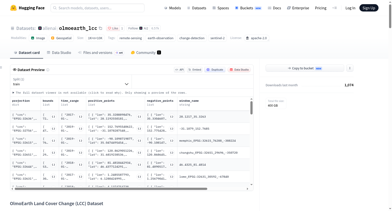
OlmoEarth Land Cover Change (LCC) 数据集是一个用于土地覆盖变化检测的点级标注数据集,旨在训练OlmoEarth LCC模型。该模型通过输入Sentinel-2时间序列影像(16个季度图像建立历史基线,4个近期双周图像检测近期变化),逐像素预测是否发生土地覆盖变化,以及变化前后的类别、起止日期和细粒度变化类别。数据集包含约1千到1万个样本,每个样本对应一个128x128像素的UTM投影窗口,以JSON格式存储。每个条目包含窗口投影信息、时间范围、正样本点(变化点)和负样本点(无变化点)。正样本记录经纬度、变化前日期、变化开始可见日期、变化完成日期、变化前和变化后土地覆盖类别,以及可选的细粒度变化类别(如 deforestation、new_building等)。负样本仅记录位置。数据通过18个阶段的标注收集,包括模型预测候选筛选、输出标签、随机采样等方法,覆盖多种变化类型和区域。此外,数据集还提供模型大规模推理输出的GeoTIFF汇总栅格,包含9个波段(变化概率、前/后类别、源/目标类别、置信度、时间信息),便于直接应用。
OlmoEarth Land Cover Change (LCC) dataset is a point-level labeled dataset for land cover change detection, designed to train the OlmoEarth LCC model. The model takes Sentinel-2 time series imagery (16 quarterly images for historical baseline, 4 recent bi-weekly images for detecting recent changes) and predicts per-pixel whether land cover change has occurred, along with the before and after classes, start and end dates, and fine-grained change categories. The dataset contains approximately 1,000 to 10,000 samples, each corresponding to a 128x128 pixel UTM-projected window, stored in JSON format. Each entry includes window projection information, time range, positive sample points (change points) and negative sample points (no change). Positive samples record latitude/longitude, pre-change date, change start visible date, change completion date, before and after land cover classes, and optional fine-grained change categories (e.g., deforestation, new_building). Negative samples only record location. The data was collected through 18 stages of annotation, including model prediction candidate screening, output labels, random sampling, etc., covering various change types and regions. Additionally, the dataset provides GeoTIFF summary rasters from large-scale model inference, containing 9 bands (change probability, before/after classes, source/target classes, confidence, time information) for direct application.
OlmoEarth Land Cover Change (LCC) Dataset 数据集总结
基本信息
- 数据集名称:OlmoEarth Land Cover Change (LCC) Dataset
- 许可证:Apache-2.0
- 规模:1K < n < 10K
- 标签:遥感、地球观测、变化检测、Sentinel-2
- 用途:用于训练OlmoEarth LCC模型(https://olmoearth-lcc.allen.ai),该模型基于Sentinel-2时间序列检测近期土地覆盖变化。
模型功能
模型输入包括:
- 16幅季度影像:建立历史基线
- 4幅双周影像:检测近期变化
预测输出(逐像素):
- 是否发生土地覆盖变化
- 变化前后土地覆盖类别
- 变化起止日期
- 细粒度变化类别
数据标注格式
标注以JSON文件形式提供,每个文件为条目列表,每个条目对应一个128x128像素(10米/像素)的UTM投影空间窗口。
条目字段
| 字段 | 说明 |
|---|---|
projection / bounds |
UTM投影和像素边界 |
window_name / group |
条目标识符 |
time_range |
标注有效的时间范围 |
positive_points |
已验证发生土地覆盖变化的点 |
negative_points |
已验证无变化的点(仅包含经纬度) |
正样本点字段
- 位置:
lon、lat(WGS84坐标系) - 三个日期:
pre_change:变化前状态的最后日期first_date_change_noticeable:变化开始变得明显的首日期post_change:变化看似完成的日期
- 两个土地覆盖类别:
pre_category:变化前类别post_category:变化后类别
土地覆盖类别(共12类)
bare、burnt、crops、fallow/shifting cultivation、grassland、Lichen and moss、shrub、snow and ice、tree、urban/built-up、water、wetland (herbaceous)
细粒度变化类别字段(部分标注)
部分正样本点包含以下三个字段:
pre_change_category(移除/损失类别):deforestation、urban_erosion、wetland_loss、water_contract、removed_crop_structurepost_change_category(新出现类别):vegetation_growth、new_building、new_road、new_infrastructure、new_crop_field、new_aquafarm、site_clearing、water_expand、mining、new_crop_structure、selective_logging、landslide、settlementsame_change_category(扰动但未永久转换类别):agricultural_activity、wildfire、ice_motion、flooding
注意:这些字段是在标注过程中期引入的,因此部分样本有这些字段,部分没有。
数据收集方式
数据通过18个阶段(Phase 1-18)收集,所有阶段均在标注界面中手动验证月度Sentinel-2镶嵌影像:
- Phase 1, 4, 10:基于模型的候选标注(比较逐年土地覆盖预测,寻找变化位置)
- Phase 2, 3, 5, 7, 8, 9, 11-15, 17, 18:基于模型输出的标注(以高召回低精度置信度阈值筛选变化预测)
- Phase 6:在0.1 x 0.1度瓦片中标注随机点
- Phase 9:关注罕见转变类型
- Phase 10:聚焦撒哈拉以南非洲的tree→bare转变
- Phase 11-15:聚焦采矿预测
- Phase 16:基于10个撒哈拉以南非洲采矿相关数据集的标注
模型输出汇总栅格
提供由训练模型在大规模上运行的汇总GeoTIFF文件。世界被划分为32768x32768像素的UTM瓦片(10米/像素,每边327.68公里),每个处理瓦片生成一个{EPSG code}_{col}_{row}_summary.tif文件。
GeoTIFF波段信息(9波段uint8)
| 波段 | 名称 | 描述 |
|---|---|---|
| 1 | binary_change |
变化概率(0-255缩放) |
| 2 | pre_class |
变化前/相同类别头部的argmax类别 |
| 3 | post_class |
变化后类别头部的argmax类别 |
| 4 | src_class |
源土地覆盖类别 |
| 5 | dst_class |
目标土地覆盖类别 |
| 6 | pre_score |
波段2中argmax类别的概率(0-255) |
| 7 | post_score |
波段3中argmax类别的概率(0-255) |
| 8 | ts_pre_month |
预测变化开始月份编码 |
| 9 | ts_post_month |
预测变化结束月份编码 |
月份编码
0表示无预测;否则值为1 + 2015年1月至预测日期之间的完整日历月数(1=2015年1月,13=2016年1月,255可达2036年3月)。
土地覆盖类别编码(波段4-5)
0 = 无预测,1 = bare,2 = burnt,3 = crops,4 = fallow/shifting cultivation,5 = grassland,6 = Lichen and moss,7 = shrub,8 = snow and ice,9 = tree,10 = urban/built-up,11 = water,12 = wetland (herbaceous)
变化前/相同类别编码(波段2)
0 = 无预测,1 = none,2 = deforestation,3 = urban_erosion,4 = wetland_loss,5 = water_contract,6 = removed_crop_structure,7 = agricultural_activity,8 = wildfire,9 = ice_motion,10 = flooding
变化后类别编码(波段3)
0 = 无预测,1 = none,2 = vegetation_growth,3 = new_building,4 = new_road,5 = new_infrastructure,6 = new_crop_field,7 = new_aquafarm,8 = site_clearing,9 = water_expand,10 = mining,11 = new_crop_structure,12 = selective_logging,13 = landslide,14 = settlement
应用建议
- 先对波段1(
binary_change)设置阈值(如128,对应概率0.5),仅在通过阈值的像素上解读其余波段 - 对特定变化类型,筛选对应类别并设置对应概率阈值(例如创建采矿掩膜时,筛选波段3中
post_class = 10,并对波段7设置阈值)
相关资源
- 训练和推理代码:https://github.com/allenai/rslearn_projects/pull/294
- 编码器:https://huggingface.co/allenai/OlmoEarth-v1_2-Base
- 影像来源:Sentinel-2 L2A(Copernicus计划)