
National Elevation Dataset (NED) - 30m
收藏DataONE2010-01-01 更新2024-06-27 收录
下载链接:
https://search.dataone.org/view/knb-lter-bes.343.570
下载链接
链接失效反馈官方服务:
资源简介:
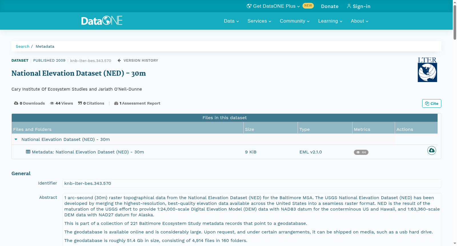
1 arc-second (30m) raster topographical data from the National Elevation Dataset (NED) for the Baltimore MSA. The USGS National Elevation Dataset (NED) has been developed by merging the highest-resolution, best-quality elevation data available across the United States into a seamless raster format. NED is the result of the maturation of the USGS effort to provide 1:24,000-scale Digital Elevation Model (DEM) data with NAD83 datum for the conterminous US and Hawaii, and 1:63,360-scale DEM data with NAD27 datum for Alaska. This is part of a collection of 221 Baltimore Ecosystem Study metadata records that point to a geodatabase. The geodatabase is available online and is considerably large. Upon request, and under certain arrangements, it can be shipped on media, such as a usb hard drive. The geodatabase is roughly 51.4 Gb in size, consisting of 4,914 files in 160 folders. Although this metadata record and the others like it are not rich with attributes, it is nonetheless made available because the data that it represents could be indeed useful. This is part of a collection of 221 Baltimore Ecosystem Study metadata records that point to a geodatabase. The geodatabase is available online and is considerably large. Upon request, and under certain arrangements, it can be shipped on media, such as a usb hard drive. The geodatabase is roughly 51.4 Gb in size, consisting of 4,914 files in 160 folders. Although this metadata record and the others like it are not rich with attributes, it is nonetheless made available because the data that it represents could be indeed useful.
本次数据集为巴尔的摩大都会统计区(Baltimore MSA)的1弧秒(30米)栅格地形数据,源自美国国家高程数据集(National Elevation Dataset, NED)。
美国地质调查局(United States Geological Survey, USGS)开发的国家高程数据集(NED),将全美范围内分辨率最优、质量最佳的高程数据融合为无缝栅格格式。
NED是美国地质调查局相关工作成熟后的成果,该工作旨在为美国本土及夏威夷地区提供采用NAD83基准面的1:24000比例尺数字高程模型(Digital Elevation Model, DEM)数据,并为阿拉斯加地区提供采用NAD27基准面的1:63360比例尺DEM数据。
本元数据记录属于指向某地理数据库的221条巴尔的摩生态系统研究元数据记录集合之一。该地理数据库可通过在线渠道获取,体量较大。在满足特定条件并提出申请后,可通过USB硬盘等存储介质寄送该数据集。该地理数据库总容量约为51.4吉字节(Gigabyte, Gb),包含160个文件夹内的4914个文件。尽管本元数据记录及同类记录的属性信息并不丰富,但仍予以公开,因其所指代的数据具备实际应用价值。
本元数据记录属于指向某地理数据库的221条巴尔的摩生态系统研究元数据记录集合之一。该地理数据库可通过在线渠道获取,体量较大。在满足特定条件并提出申请后,可通过USB硬盘等存储介质寄送该数据集。该地理数据库总容量约为51.4吉字节(Gigabyte, Gb),包含160个文件夹内的4914个文件。尽管本元数据记录及同类记录的属性信息并不丰富,但仍予以公开,因其所指代的数据具备实际应用价值。
创建时间:
2013-10-14
搜集汇总
数据集介绍
以上内容由遇见数据集搜集并总结生成



