2019年一带一路全域自然遗产地边界提取专题数据
收藏地球大数据科学工程2024-03-04 收录
下载链接:
https://data.casearth.cn/sdo/detail/653cb4df819aec42f01b2af0
下载链接
链接失效反馈官方服务:
资源简介:
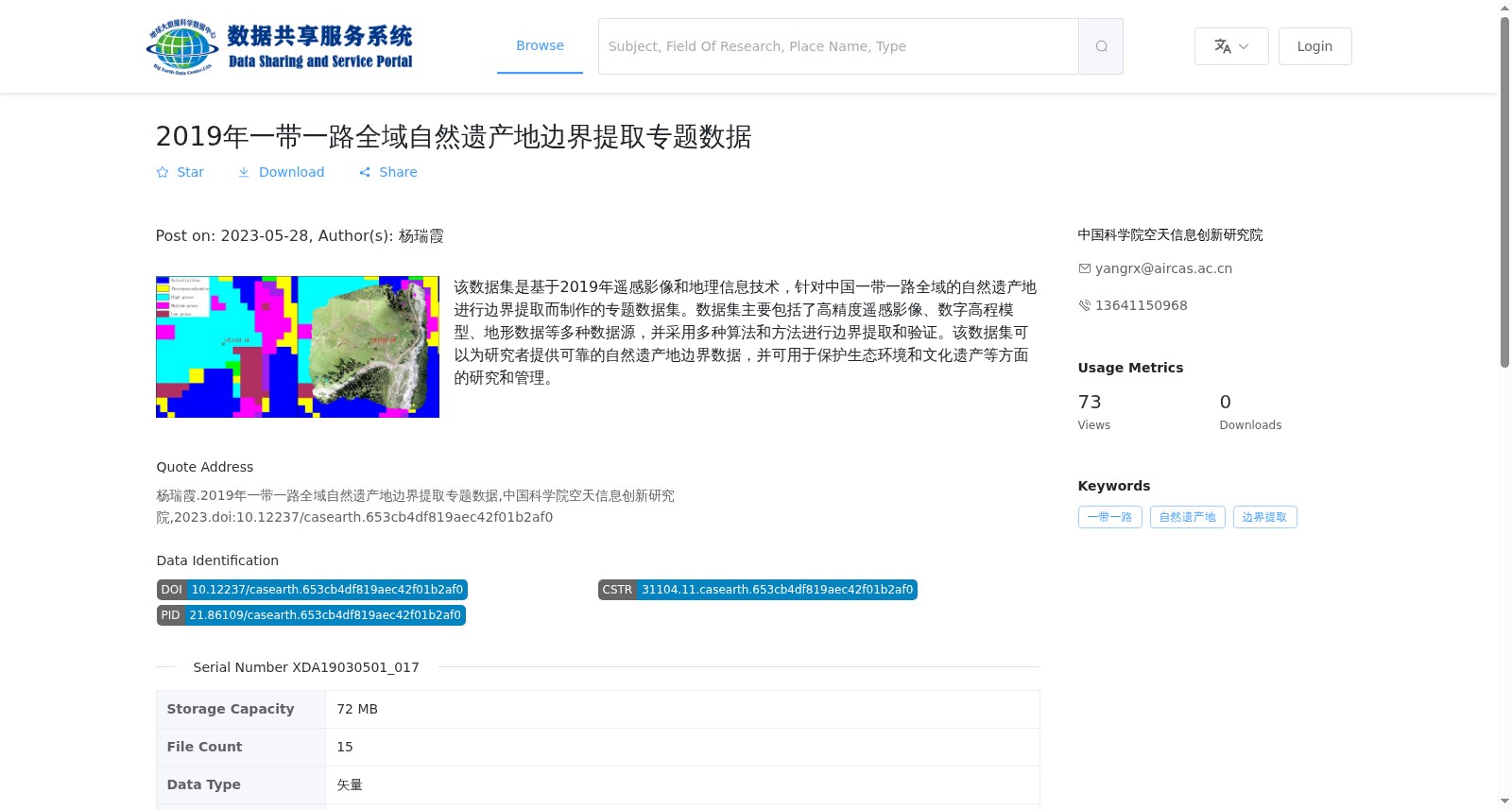
该数据集是基于2019年遥感影像和地理信息技术,针对中国一带一路全域的自然遗产地进行边界提取而制作的专题数据集。数据集主要包括了高精度遥感影像、数字高程模型、地形数据等多种数据源,并采用多种算法和方法进行边界提取和验证。该数据集可以为研究者提供可靠的自然遗产地边界数据,并可用于保护生态环境和文化遗产等方面的研究和管理。
This thematic dataset is developed for boundary extraction of natural heritage sites across the entire Belt and Road Initiative (BRI) region in China, based on 2019 remote sensing images and geographic information technologies. The dataset includes multiple data sources such as high-resolution remote sensing images, Digital Elevation Model (DEM) and topographic data, and adopts various algorithms and methods for boundary extraction and verification. It can provide researchers with reliable boundary data of natural heritage sites, and be applied to research and management related to ecological environment protection and cultural heritage conservation.
提供机构:
中国科学院空天信息创新研究院
搜集汇总
数据集介绍
背景与挑战
背景概述
该数据集是2019年针对中国一带一路全域自然遗产地边界提取的专题数据,基于遥感影像和地理信息技术,整合了高精度遥感影像、数字高程模型和地形数据等多源数据,通过算法提取和验证边界。数据为矢量格式(shp),共15个文件,旨在为自然遗产保护、生态环境和文化遗产研究提供可靠的边界数据支持。
以上内容由遇见数据集搜集并总结生成


