有没有相关的论文或文献参考?
这个数据集是基于什么背景创建的?
数据集的作者是谁?
能帮我联系到这个数据集的作者吗?
这个数据集如何下载?
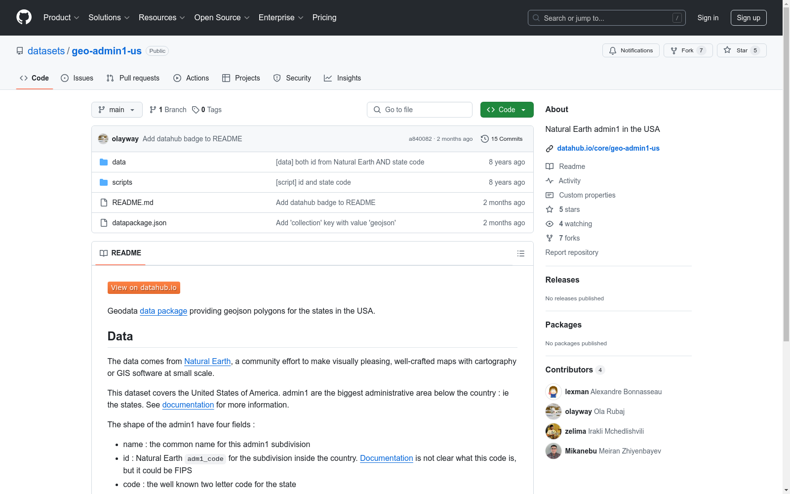
数据来源于Natural Earth,这是一个社区努力制作视觉上吸引人、精心制作的地图的项目,适用于使用制图或GIS软件的小规模地图制作。
该数据集涵盖美国各州的地理信息。每个州(admin1)的形状数据包含以下字段:
adm1_code,用于国家内的行政区划。具体代码含义在文档中未明确说明,可能是FIPS代码。所有数据均在Open Data Commons Public Domain Dedication and License下发布。原始数据来自Natural Earth,属于公共领域。虽然不需要正式的致谢,但对Natural Earth、Lexman和Open Knowledge Foundation的致谢非常受欢迎。
所有源代码在MIT许可证下发布。
jpft/danbooru2023
Danbooru2023是一个大规模的动漫图像数据集,包含超过500万张由爱好者社区贡献并详细标注的图像。图像标签涵盖角色、场景、版权、艺术家等方面,平均每张图像有30个标签。该数据集可用于训练图像分类、多标签标注、角色检测、生成模型等多种计算机视觉任务。数据集基于danbooru2021构建,扩展至包含ID #6,857,737的图像,增加了超过180万张新图像,总大小约为8TB。图像以原始格式提供,分为1000个子目录,使用图像ID的模1000进行分桶,以避免文件系统性能问题。
hugging_face 收录
Canadian Census
**Overview** The data package provides demographics for Canadian population groups according to multiple location categories: Forward Sortation Areas (FSAs), Census Metropolitan Areas (CMAs) and Census Agglomerations (CAs), Federal Electoral Districts (FEDs), Health Regions (HRs) and provinces. **Description** The data are available through the Canadian Census and the National Household Survey (NHS), separated or combined. The main demographic indicators provided for the population groups, stratified not only by location but also for the majority by demographical and socioeconomic characteristics, are population number, females and males, usual residents and private dwellings. The primary use of the data at the Health Region level is for health surveillance and population health research. Federal and provincial departments of health and human resources, social service agencies, and other types of government agencies use the information to monitor, plan, implement and evaluate programs to improve the health of Canadians and the efficiency of health services. Researchers from various fields use the information to conduct research to improve health. Non-profit health organizations and the media use the health region data to raise awareness about health, an issue of concern to all Canadians. The Census population counts for a particular geographic area representing the number of Canadians whose usual place of residence is in that area, regardless of where they happened to be on Census Day. Also included are any Canadians who were staying in that area on Census Day and who had no usual place of residence elsewhere in Canada, as well as those considered to be 'non-permanent residents'. National Household Survey (NHS) provides demographic data for various levels of geography, including provinces and territories, census metropolitan areas/census agglomerations, census divisions, census subdivisions, census tracts, federal electoral districts and health regions. In order to provide a comprehensive overview of an area, this product presents data from both the NHS and the Census. NHS data topics include immigration and ethnocultural diversity; aboriginal peoples; education and labor; mobility and migration; language of work; income and housing. 2011 Census data topics include population and dwelling counts; age and sex; families, households and marital status; structural type of dwelling and collectives; and language. The data are collected for private dwellings occupied by usual residents. A private dwelling is a dwelling in which a person or a group of persons permanently reside. Information for the National Household Survey does not include information for collective dwellings. Collective dwellings are dwellings used for commercial, institutional or communal purposes, such as a hotel, a hospital or a work camp. **Benefits** - Useful for canada public health stakeholders, for public health specialist or specialized public and other interested parties. for health surveillance and population health research. for monitoring, planning, implementation and evaluation of health-related programs. media agencies may use the health regions data to raise awareness about health, an issue of concern to all canadians. giving the addition of longitude and latitude in some of the datasets the data can be useful to transpose the values into geographical representations. the fields descriptions along with the dataset description are useful for the user to quickly understand the data and the dataset. **License Information** The use of John Snow Labs datasets is free for personal and research purposes. For commercial use please subscribe to the [Data Library](https://www.johnsnowlabs.com/marketplace/) on John Snow Labs website. The subscription will allow you to use all John Snow Labs datasets and data packages for commercial purposes. **Included Datasets** - [Canadian Population and Dwelling by FSA 2011](https://www.johnsnowlabs.com/marketplace/canadian-population-and-dwelling-by-fsa-2011) - This Canadian Census dataset covers data on population, total private dwellings and private dwellings occupied by usual residents by forward sortation area (FSA). It is enriched with the percentage of the population or dwellings versus the total amount as well as the geographical area, province, and latitude and longitude. The whole Canada's population is marked as 100, referring to 100% for the percentages. - [Detailed Canadian Population Statistics by CMAs and CAs 2011](https://www.johnsnowlabs.com/marketplace/detailed-canadian-population-statistics-by-cmas-and-cas-2011) - This dataset covers the population statistics of Canada by Census Metropolitan Areas (CMAs) and Census Agglomerations (CAs). It is categorized also by citizen/immigration status, ethnic origin, religion, mobility, education, language, work, housing, income etc. There is detailed characteristics categorization within these stated categories that are in 5 layers. - [Detailed Canadian Population Statistics by FED 2011](https://www.johnsnowlabs.com/marketplace/detailed-canadian-population-statistics-by-fed-2011) - This dataset covers the population statistics of Canada from 2011 by Federal Electoral District of 2013 Representation Order. It is categorized also by citizen/immigration status, ethnic origin, religion, mobility, education, language, work, housing, income etc. There is detailed characteristics categorization within these stated categories that are in 5 layers. - [Detailed Canadian Population Statistics by Health Region 2011](https://www.johnsnowlabs.com/marketplace/detailed-canadian-population-statistics-by-health-region-2011) - This dataset covers the population statistics of Canada by health region. It is categorized also by citizen/immigration status, ethnic origin, religion, mobility, education, language, work, housing, income etc. There is detailed characteristics categorization within these stated categories that are in 5 layers. - [Detailed Canadian Population Statistics by Province 2011](https://www.johnsnowlabs.com/marketplace/detailed-canadian-population-statistics-by-province-2011) - This dataset covers the population statistics of Canada by provinces and territories. It is categorized also by citizen/immigration status, ethnic origin, religion, mobility, education, language, work, housing, income etc. There is detailed characteristics categorization within these stated categories that are in 5 layers. **Data Engineering Overview** **We deliver high-quality data** - Each dataset goes through 3 levels of quality review - 2 Manual reviews are done by domain experts - Then, an automated set of 60+ validations enforces every datum matches metadata & defined constraints - Data is normalized into one unified type system - All dates, unites, codes, currencies look the same - All null values are normalized to the same value - All dataset and field names are SQL and Hive compliant - Data and Metadata - Data is available in both CSV and Apache Parquet format, optimized for high read performance on distributed Hadoop, Spark & MPP clusters - Metadata is provided in the open Frictionless Data standard, and its every field is normalized & validated - Data Updates - Data updates support replace-on-update: outdated foreign keys are deprecated, not deleted **Our data is curated and enriched by domain experts** Each dataset is manually curated by our team of doctors, pharmacists, public health & medical billing experts: - Field names, descriptions, and normalized values are chosen by people who actually understand their meaning - Healthcare & life science experts add categories, search keywords, descriptions and more to each dataset - Both manual and automated data enrichment supported for clinical codes, providers, drugs, and geo-locations - The data is always kept up to date – even when the source requires manual effort to get updates - Support for data subscribers is provided directly by the domain experts who curated the data sets - Every data source’s license is manually verified to allow for royalty-free commercial use and redistribution. **Need Help?** If you have questions about our products, contact us at [info@johnsnowlabs.com](mailto:info@johnsnowlabs.com).
Databricks 收录
中国农村金融统计数据
该数据集包含了中国农村金融的统计信息,涵盖了农村金融机构的数量、贷款余额、存款余额、金融服务覆盖率等关键指标。数据按年度和地区分类,提供了详细的农村金融发展状况。
www.pbc.gov.cn 收录
网易云音乐数据集
该数据集包含了网易云音乐平台上的歌手信息、歌曲信息和歌单信息,数据通过爬虫技术获取并整理成CSV格式,用于音乐数据挖掘和推荐系统构建。
github 收录
Titanic Dataset
Titanic Data Analysis: A Journey into Passenger Profiles and Survival Dynamics
kaggle 收录