青藏高原Landsat系列卫星遥感归一化差值水体(NDWI)产品(2020)
收藏国家青藏高原科学数据中心2023-07-19 更新2024-03-01 收录
下载链接:
https://data.tpdc.ac.cn/zh-hans/data/af5e65f9-7ef2-4545-8da0-c8b9b9e47fd7
下载链接
链接失效反馈官方服务:
资源简介:
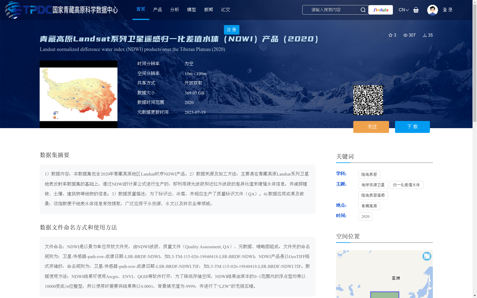
1)数据内容:本数据集包含2020年青藏高原地区Landsat时序NDWI产品。2)数据来源及加工方法:主要是在青藏高原Landsat系列卫星地表反射率数据集的基础上,通过NDWI的计算公式进行生产的,即利用绿光波段和近红外波段的差异比值来增强水体信息,并减弱植被、土壤、建筑物等地物的信息;3)数据质量描述:为了标识云、冰雪,并相应生产了质量标识文件(QA)。4) 数据应用成果及前景:该指数便于地表水体信息有效提取,广泛应用于水资源、水文以及林农业等领域。
1) Data Content: This dataset includes Landsat time-series NDWI products for the Qinghai-Tibet Plateau region in 2020.
2) Data Source and Processing Method: It is primarily generated based on the surface reflectance dataset of Landsat series satellites over the Qinghai-Tibet Plateau, following the NDWI calculation formula. Specifically, the normalized difference ratio between the green band and near-infrared band is employed to enhance water body information while suppressing the spectral information of features such as vegetation, soil, and buildings.
3) Data Quality Description: Corresponding quality assessment (QA) files are produced to identify clouds and snow/ice.
4) Data Application Achievements and Prospects: This index enables efficient extraction of surface water body information, and has been widely applied in fields including water resources, hydrology, forestry and agriculture.
提供机构:
彭燕
创建时间:
2022-12-29
搜集汇总
数据集介绍
背景与挑战
背景概述
该数据集是2020年青藏高原地区的Landsat系列卫星遥感归一化差值水体(NDWI)产品,基于地表反射率数据通过NDWI公式计算生成,旨在增强水体信息并减弱植被、土壤等干扰。数据空间分辨率为10m-100m,总大小369.07 GB,包含质量标识文件,以GeoTIFF格式存储,适用于水资源、水文等领域的应用。
以上内容由遇见数据集搜集并总结生成


