全国100个典型城市无人机倾斜摄影测量三维实景模型在线数据集
收藏资源简介:
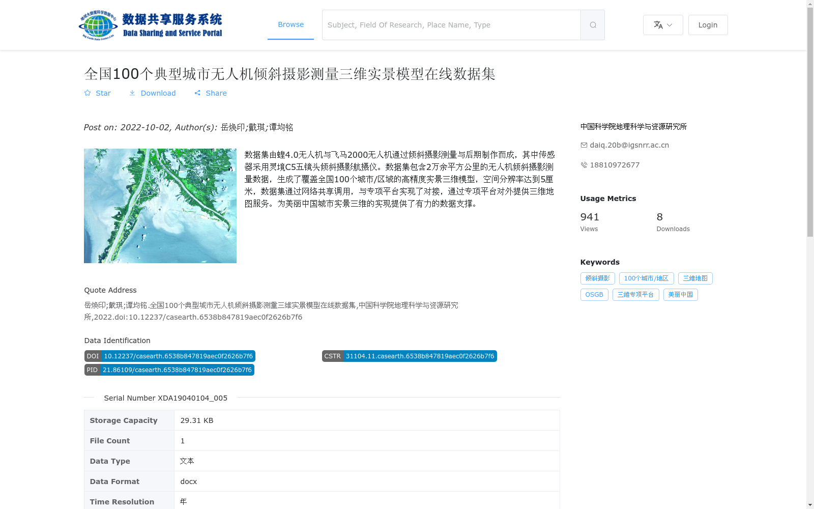
数据集由蝗4.0无人机与飞马2000无人机通过倾斜摄影测量与后期制作而成,其中传感器采用灵境C5五镜头倾斜摄影航摄仪。数据集包含2万余平方公里的无人机倾斜摄影测量数据,生成了覆盖全国100个城市/区域的高精度实景三维模型,空间分辨率达到5厘米,数据集通过网络共享调用,与专项平台实现了对接,通过专项平台对外提供三维地图服务。为美丽中国城市实景三维的实现提供了有力的数据支撑。
This dataset is compiled using Huang 4.0 and Feima 2000 unmanned aerial vehicles (UAVs) through oblique photogrammetry and post-processing workflows, with the Lingjing C5 five-lens oblique photogrammetric aerial camera adopted as the onboard sensor. It contains over 20,000 square kilometers of UAV-acquired oblique photogrammetric data, and has generated high-precision real-scene 3D models covering 100 cities and regions across the country, with a spatial resolution of 5 cm. The dataset is available for sharing and remote invocation via a network, integrated with a dedicated special-purpose platform, and provides 3D map services to external users through this platform. It has provided robust data support for the implementation of real-scene 3D urban applications under the Beautiful China initiative.