
FGI Masala Stereo-Visual-Inertial Dataset 2021
收藏DataCite Commons2024-03-01 更新2024-07-13 收录
下载链接:
https://etsin.fairdata.fi/dataset/50c898c9-a8f9-4935-80f0-08fc661e88b3
下载链接
链接失效反馈官方服务:
资源简介:
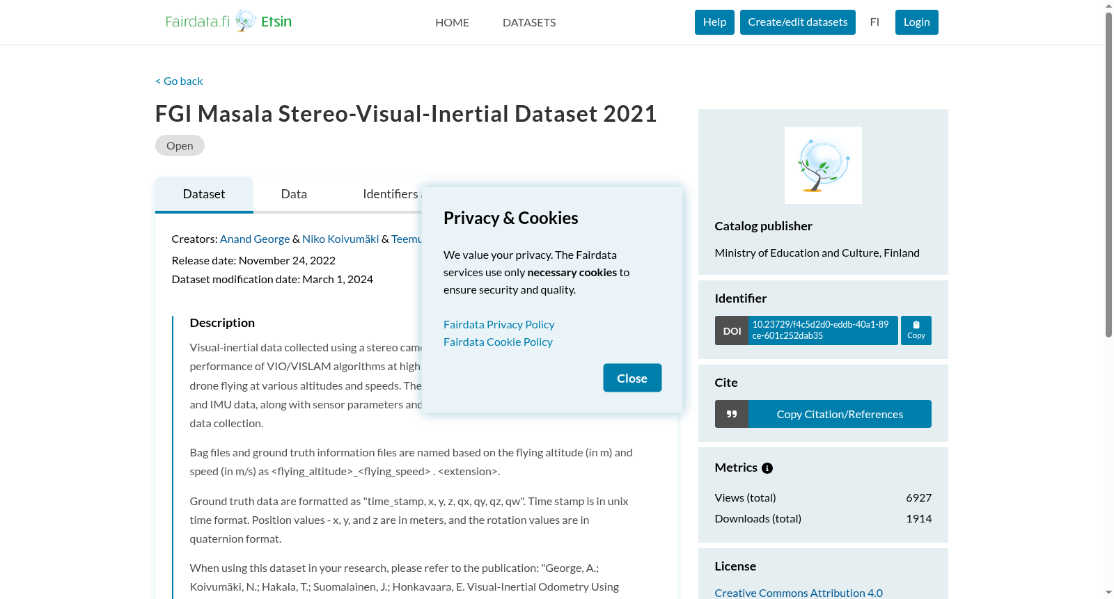
Visual-inertial data collected using a stereo camera and IMU sensor suite for analysing the performance of VIO/VISLAM algorithms at high altitude. This dataset is collected using a drone flying at various altitudes and speeds. The dataset contains synchronised stereo images and IMU data, along with sensor parameters and the ground truth pose of the drone during data collection.
Bag files and ground truth information files are named based on the flying altitude (in m) and speed (in m/s) as _ . .
Ground truth data are formatted as "time_stamp, x, y, z, qx, qy, qz, qw". Time stamp is in unix time format. Position values - x, y, and z are in meters, and the rotation values are in quaternion format.
When using this dataset in your research, please refer to the publication:
"George, A.; Koivumäki, N.; Hakala, T.; Suomalainen, J.; Honkavaara, E. Visual-Inertial Odometry Using High Flying Altitude Drone Datasets. Drones 2023, 7, 36. https://doi.org/10.3390/drones7010036"
本数据集采用立体相机与惯性测量单元(IMU)传感器套件采集视觉惯性数据,用于评估高空场景下视觉惯性里程计(Visual-Inertial Odometry, VIO)与视觉惯性同步定位与地图构建(Visual-Inertial Simultaneous Localization and Mapping, VISLAM)算法的性能表现。
本数据集由搭载该传感器套件的无人机在不同高度与飞行速度下采集获取。数据集包含同步后的立体图像与IMU数据,同时附带传感器参数以及数据采集过程中无人机的真实位姿信息。
ROS包文件(Bag files)与地面真值信息文件的命名规则基于飞行高度(单位:米)与飞行速度(单位:米每秒),命名格式为_._。
地面真值数据的格式为:"time_stamp, x, y, z, qx, qy, qz, qw"。其中时间戳采用Unix时间格式,x、y、z三轴位置坐标单位为米,旋转参数采用四元数格式。
若在研究工作中使用本数据集,请引用以下文献:
George, A.; Koivumäki, N.; Hakala, T.; Suomalainen, J.; Honkavaara, E. 基于高空无人机数据集的视觉惯性里程计. Drones, 2023, 7, 36. https://doi.org/10.3390/drones7010036
提供机构:
FGI Dept. of Remote sensing and photogrammetry
创建时间:
2022-11-24
搜集汇总
数据集介绍
背景与挑战
背景概述
FGI Masala Stereo-Visual-Inertial Dataset 2021是一个用于分析高海拔环境下VIO/VISLAM算法性能的数据集,包含同步的立体图像、IMU数据和地面真实姿态信息。数据集由无人机在不同高度和速度下飞行收集,适用于电子、自动化和通信工程领域的研究。
以上内容由遇见数据集搜集并总结生成



