The International Bathymetric Chart of the Southern Ocean Version 2 (IBCSO v2)
收藏DataCite Commons2025-04-04 更新2025-04-16 收录
下载链接:
https://doi.pangaea.de/10.1594/PANGAEA.937574
下载链接
链接失效反馈官方服务:
资源简介:
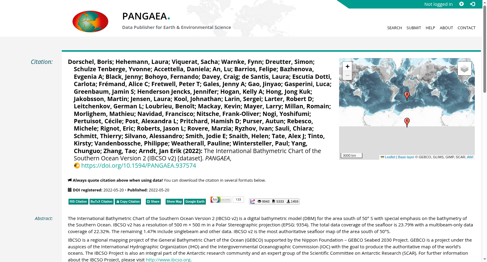
The International Bathymetric Chart of the Southern Ocean Version 2 (IBCSO v2) is a digital bathymetric model (DBM) for the area south of 50° S with special emphasis on the bathymetry of the Southern Ocean. IBCSO v2 has a resolution of 500 m × 500 m in a Polar Stereographic projection (EPSG: 9354). The total data coverage of the seafloor is 23.79% with a multibeam-only data coverage of 22.32%. The remaining 1.47% include singlebeam and other data. IBCSO v2 is the most authoritative seafloor map of the area south of 50°S.IBCSO is a regional mapping project of the General Bathymetric Chart of the Ocean (GEBCO) supported by the Nippon Foundation – GEBCO Seabed 2030 Project. GEBCO is a project under the auspices of the International Hydrographic Organization (IHO) and the Intergovernmental Oceanographic Commission (IOC) with the goal to produce the authoritative map of the world's oceans. The IBCSO Project is also an integral part of the Antarctic research community and an expert group of the Scientific Committee on Antarctic Research (SCAR). For further information about the IBCSO Project, please visit http://www.ibcso.org.
《南大洋国际水深图第二版》(International Bathymetric Chart of the Southern Ocean Version 2,简称IBCSO v2)是一款面向南纬50°以南区域的数字水深模型(Digital Bathymetric Model,DBM),核心聚焦南大洋海底地形。该数据集采用极地方位等距投影(Polar Stereographic projection,EPSG: 9354),分辨率为500米×500米。整体海底数据覆盖率达23.79%,其中仅多波束测深数据覆盖率为22.32%,剩余1.47%的数据包含单波束及其他类型测深数据。IBCSO v2是南纬50°以南区域最具权威性的海底地图。
IBCSO是由日本基金会资助的海洋通用海图(General Bathymetric Chart of the Ocean,GEBCO)区域制图项目,隶属于“日本基金会–GEBCO海底2030计划”(Nippon Foundation – GEBCO Seabed 2030 Project)。海洋通用海图(GEBCO)是国际海道测量组织(International Hydrographic Organization,IHO)与政府间海洋学委员会(Intergovernmental Oceanographic Commission,IOC)牵头实施的项目,其目标是编制全球海洋权威海图。IBCSO项目同时也是南极研究共同体的核心组成部分,隶属于南极研究科学委员会(Scientific Committee on Antarctic Research,SCAR)专家工作组。如需了解IBCSO项目的更多详情,请访问http://www.ibcso.org。
提供机构:
PANGAEA
创建时间:
2022-05-20
搜集汇总
数据集介绍
背景与挑战
背景概述
IBCSO v2是一个高分辨率(500米×500米)的数字海底模型,专门覆盖南纬50度以南的南大洋区域,提供该地区最权威的海底地形数据。该数据集是国际海洋测深合作项目的一部分,得到日本基金会-GEBCO Seabed 2030项目的支持,并服务于南极科学研究社区。
以上内容由遇见数据集搜集并总结生成


