广东省2016年0.18M分辨率真彩色UC-Condor航摄影像数据集
收藏江苏数据知识产权登记系统2025-08-28 更新2025-09-12 收录
下载链接:
https://dataip.jsipp.cn/#/changeDetialCertical?pType=登记&cType=登记&id=dcdfa1c483909379a09f9bb14df91692
下载链接
链接失效反馈官方服务:
资源简介:
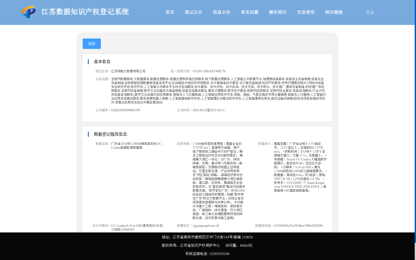
覆盖范围:广东省全域(21个地级市、122个县区),总面积约17.97万 km²。
• 获取时间:2016年9–12月(连续晴天窗口,云量<5 %,无雾霾)。
• 传感器:Vexcel UC-Condor 大幅面数字航摄仪,真彩色RGB,无近红外波段。
• 分辨率:0.18 m GSD,满足1:1000成图与LOD2级三维建模要求。
• 数据量:单波段8-bit,共3波段;原始TIFF≈36 TB,LZW压缩后≈14 TB。
• 参考系:CGCS2000 / 3° Gauss-Kruger zone 39/40/41(EPSG:4548-4550);高程基准1985国家高程基准。
Coverage: Full territory of Guangdong Province (21 prefecture-level cities, 122 districts and counties), with a total area of approximately 179,700 km².
• Acquisition Time: September–December 2016 (during consecutive clear-sky windows, cloud cover <5%, no haze).
• Sensor: Vexcel UC-Condor large-format digital aerial camera, true-color RGB, without near-infrared band.
• Spatial Resolution: 0.18 m GSD (Ground Sampling Distance), meeting the requirements of 1:1000-scale mapping and LOD2-level 3D modeling.
• Data Volume: 8-bit per band, 3 bands in total; original TIFF files total approximately 36 TB, and approximately 14 TB after LZW compression.
• Reference Systems: CGCS2000 / 3° Gauss-Kruger Zones 39, 40, 41 (EPSG: 4548–4550); Vertical Datum: 1985 National Height Datum.
提供机构:
江苏领航大数据有限公司
搜集汇总
数据集介绍
背景与挑战
背景概述
该数据集是2016年获取的广东省全域高分辨率航摄影像,覆盖约17.97万平方公里,采用UC-Condor传感器提供0.18米分辨率的真彩色RGB数据。它主要用于1:1000地形图更新、粤港澳大湾区规划、生态监测和数字孪生建设,支持多领域的空间分析和决策。
以上内容由遇见数据集搜集并总结生成


