
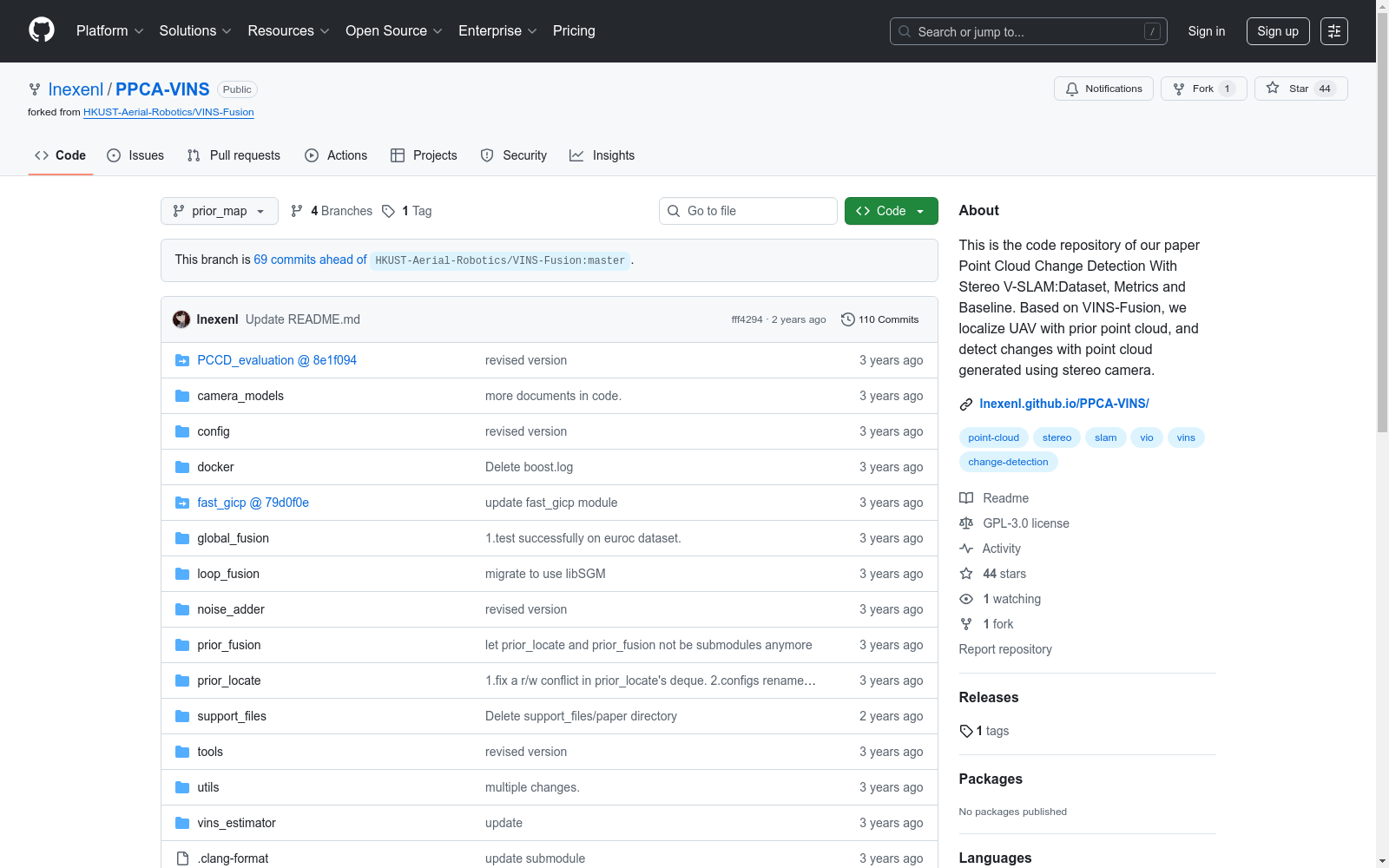
PPCA-VINS
收藏资源简介:
PPCA-VINS数据集是由清华大学开发的,用于评估基于视觉的点云变化检测任务。该数据集包含四个场景,每个场景通过无人机搭载的传感器收集数据,包括立体相机图像和IMU数据。数据集的创建过程利用了高保真模拟器Unreal Engine 4,以模拟不同的环境和变化。PPCA-VINS数据集旨在解决低成本传感器和算法在实时地图变化检测中的应用问题,特别是在物流配送和远程传感等领域。
The PPCA-VINS dataset was developed by Tsinghua University for evaluating vision-based point cloud change detection tasks. This dataset includes four scenarios, where data is collected via sensors mounted on unmanned aerial vehicles (UAVs), covering stereo camera images and IMU data. The dataset was constructed using the high-fidelity simulator Unreal Engine 4 to simulate diverse environments and changes. The PPCA-VINS dataset aims to address the application challenges of low-cost sensors and algorithms in real-time map change detection, particularly in fields such as logistics distribution and remote sensing.
- 1Point Cloud Change Detection With Stereo V-SLAM:Dataset, Metrics and Baseline清华大学 · 2022年


