青藏高原交通及基础设施数据集(2020)
收藏资源简介:
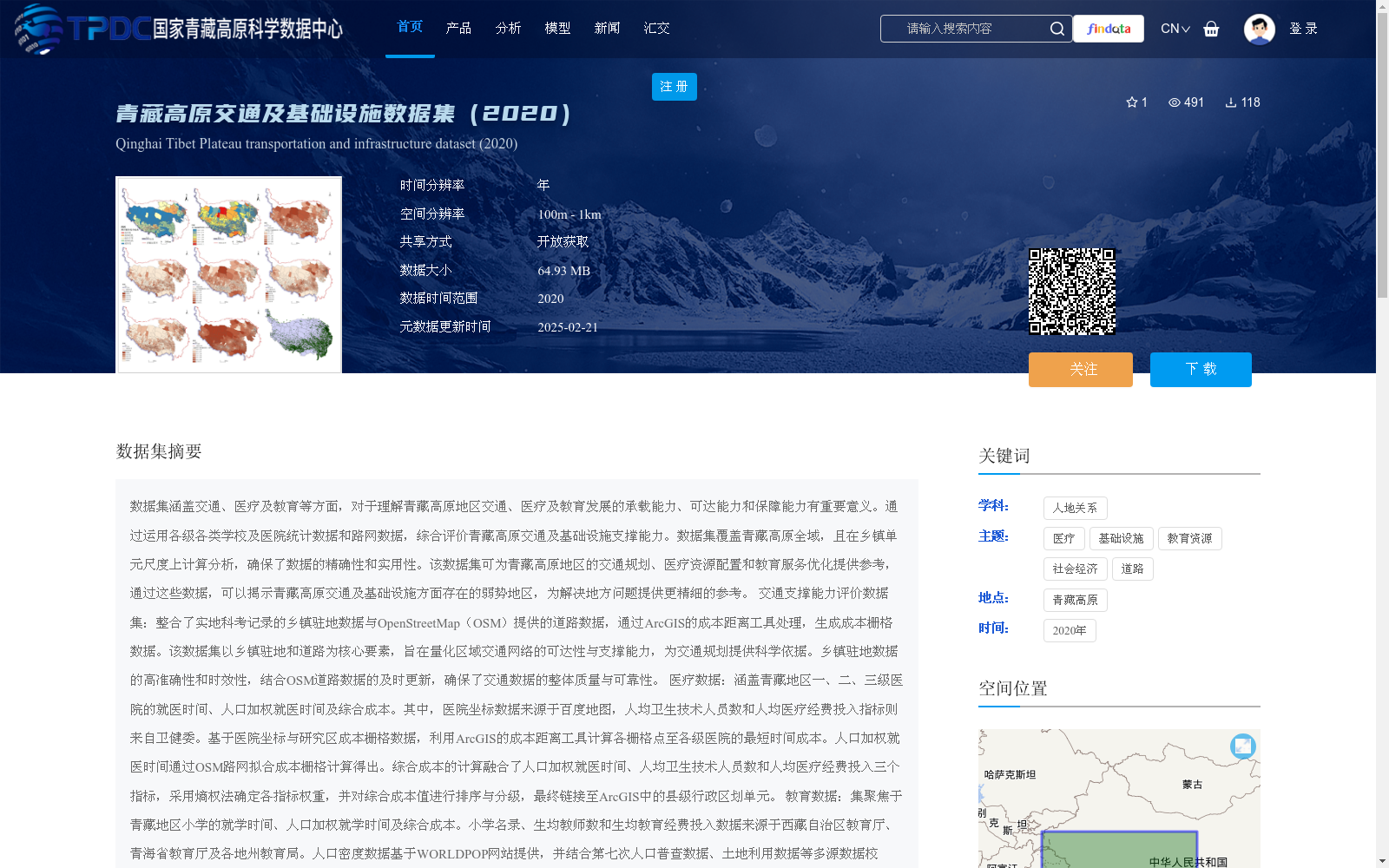
数据集涵盖交通、医疗及教育等方面,对于理解青藏高原地区交通、医疗及教育发展的承载能力、可达能力和保障能力有重要意义。通过运用各级各类学校及医院统计数据和路网数据,综合评价青藏高原交通及基础设施支撑能力。数据集覆盖青藏高原全域,且在乡镇单元尺度上计算分析,确保了数据的精确性和实用性。该数据集可为青藏高原地区的交通规划、医疗资源配置和教育服务优化提供参考,通过这些数据,可以揭示青藏高原交通及基础设施方面存在的弱势地区,为解决地方问题提供更精细的参考。 交通支撑能力评价数据集:整合了实地科考记录的乡镇驻地数据与OpenStreetMap(OSM)提供的道路数据,通过ArcGIS的成本距离工具处理,生成成本栅格数据。该数据集以乡镇驻地和道路为核心要素,旨在量化区域交通网络的可达性与支撑能力,为交通规划提供科学依据。乡镇驻地数据的高准确性和时效性,结合OSM道路数据的及时更新,确保了交通数据的整体质量与可靠性。 医疗数据:涵盖青藏地区一、二、三级医院的就医时间、人口加权就医时间及综合成本。其中,医院坐标数据来源于百度地图,人均卫生技术人员数和人均医疗经费投入指标则来自卫健委。基于医院坐标与研究区成本栅格数据,利用ArcGIS的成本距离工具计算各栅格点至各级医院的最短时间成本。人口加权就医时间通过OSM路网拟合成本栅格计算得出。综合成本的计算融合了人口加权就医时间、人均卫生技术人员数和人均医疗经费投入三个指标,采用熵权法确定各指标权重,并对综合成本值进行排序与分级,最终链接至ArcGIS中的县级行政区划单元。 教育数据:集聚焦于青藏地区小学的就学时间、人口加权就学时间及综合成本。小学名录、生均教师数和生均教育经费投入数据来源于西藏自治区教育厅、青海省教育厅及各地州教育局。人口密度数据基于WORLDPOP网站提供,并结合第七次人口普查数据、土地利用数据等多源数据校正,生成1km×1km精度的人口密度栅格。小学位置通过高德地图、天地图和百度地图确定,并进行坐标校正后纳入空间数据库。基于小学坐标与研究区成本栅格数据,利用ArcGIS的成本距离工具计算各栅格点至小学的最短时间成本。人口加权就学时间同样基于OSM路网拟合成本栅格计算。综合成本的计算综合了人口加权就学时间、生均教师数和生均教育经费投入三个指标,通过熵权法确定权重并排序分级,最终链接至ArcGIS中的县级行政区划单元。
This dataset covers transportation, medical care and education, and is of great significance for understanding the carrying capacity, accessibility and support capacity of transportation, medical and educational development in the Qinghai-Tibet Plateau. By utilizing statistical data of schools and hospitals at all levels as well as road network data, it comprehensively evaluates the support capacity of transportation and infrastructure in the Qinghai-Tibet Plateau. The dataset covers the entire Qinghai-Tibet Plateau, and calculations and analyses are conducted at the township unit scale, ensuring the accuracy and practicality of the data. This dataset can provide references for transportation planning, medical resource allocation and education service optimization in the Qinghai-Tibet Plateau. Through these data, the underdeveloped areas in transportation and infrastructure of the Qinghai-Tibet Plateau can be identified, providing more refined references for solving local problems. Transportation Support Capacity Evaluation Dataset: This dataset integrates township settlement data from field scientific research records and road data provided by OpenStreetMap (OSM), and processes them through the Cost Distance tool in ArcGIS to generate cost raster data. Taking township settlements and roads as core elements, this dataset aims to quantify the accessibility and support capacity of regional transportation networks, providing scientific basis for transportation planning. The high accuracy and timeliness of township settlement data, combined with the timely update of OSM road data, ensure the overall quality and reliability of the transportation data. Medical Data: This covers the travel time, population-weighted travel time and comprehensive cost of primary, secondary and tertiary hospitals in the Qinghai-Tibet Plateau region. Among them, the hospital coordinate data is sourced from Baidu Maps, while the indicators of per capita number of health technical personnel and per capita medical expenditure come from the local health commissions. Based on the hospital coordinates and the cost raster data of the study area, the shortest time cost from each grid point to hospitals at all levels is calculated using the Cost Distance tool in ArcGIS. The population-weighted travel time is calculated by fitting the cost raster with the OSM road network. The comprehensive cost is calculated by integrating three indicators: population-weighted travel time, per capita number of health technical personnel and per capita medical expenditure. The entropy weight method is used to determine the weight of each indicator, and the comprehensive cost values are sorted and graded, finally linked to the county-level administrative divisions in ArcGIS. Education Data: This focuses on the school attendance time, population-weighted school attendance time and comprehensive cost of primary schools in the Qinghai-Tibet Plateau region. The list of primary schools, the number of teachers per student and the educational expenditure per student are sourced from the Education Departments of the Tibet Autonomous Region, Qinghai Province and education bureaus of various prefectures and prefecture-level cities. The population density data is based on the data provided by the WORLDPOP website, and corrected with multi-source data such as the Seventh National Population Census data and land use data, to generate a population density raster with a resolution of 1km×1km. The locations of primary schools are determined via Amap, Tianditu and Baidu Maps, and are incorporated into the spatial database after coordinate correction. Based on the primary school coordinates and the cost raster data of the study area, the shortest time cost from each grid point to primary schools is calculated using the Cost Distance tool in ArcGIS. The population-weighted school attendance time is also calculated by fitting the cost raster with the OSM road network. The comprehensive cost is calculated by integrating three indicators: population-weighted school attendance time, number of teachers per student and educational expenditure per student. The entropy weight method is used to determine the weights, sort and grade the comprehensive cost values, and finally link them to the county-level administrative divisions in ArcGIS.