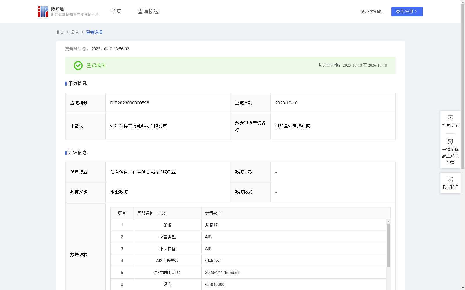
船舶靠港管理数据
收藏资源简介:
船舶进出港口时提醒给公司管理人员,使公司管理人员实时了解船舶动态1.准备数据: 港口的地理坐标(经度和纬度)。 将这些地理坐标转换为S2 Cell ID,以便进行比较。 2.对于每个要检查的位置: 将要检查的位置的地理坐标(经度和纬度)转换为S2 Cell ID。 3.计算距离: 使用S2库或算法来计算每个要检查的位置与港口最近距离。可以使用最近邻搜索算法来实现这一点。 4.阈值设定: 定义一个距离阈值,表示位置被认为是靠港的最大距离。这个阈值将根据你的需求和精度决定。 5.检查位置是否靠港: 对于每个要检查的位置,如果它与港口的最近距离小于等于设定的距离阈值,则认为该位置是靠港的,否则不是。 6.重复步骤3至步骤5: 对要检查的位置列表中的每个位置都执行步骤3至步骤5,以确定它们是否靠港。 7.输出结果: 将检查结果输出,指示每个位置是否靠港。
Alerts company managers when ships enter or exit ports, enabling them to obtain real-time insights into ship dynamics. 1. Data Preparation: Obtain the geographic coordinates (longitude and latitude) of ports. Convert these geographic coordinates into S2 Cell IDs to facilitate comparison. 2. For each location to be inspected: Convert the geographic coordinates (longitude and latitude) of the target location into an S2 Cell ID. 3. Distance Calculation: Use the S2 library or corresponding algorithm to calculate the minimum distance between each location to be inspected and the port. Nearest neighbor search algorithms can be utilized to achieve this. 4. Threshold Setting: Define a distance threshold that specifies the maximum distance at which a location is considered to be berthing at the port. This threshold will be determined based on specific requirements and accuracy demands. 5. Berthing Status Check: For each location to be inspected, if its minimum distance to the port is less than or equal to the preset distance threshold, the location is determined to be berthing at the port; otherwise, it is not. 6. Repeat Steps 3 to 5: Execute Steps 3 through 5 for every location in the list of locations to be inspected to confirm their berthing status. 7. Result Output: Output the inspection results, indicating whether each location is berthing at the port.