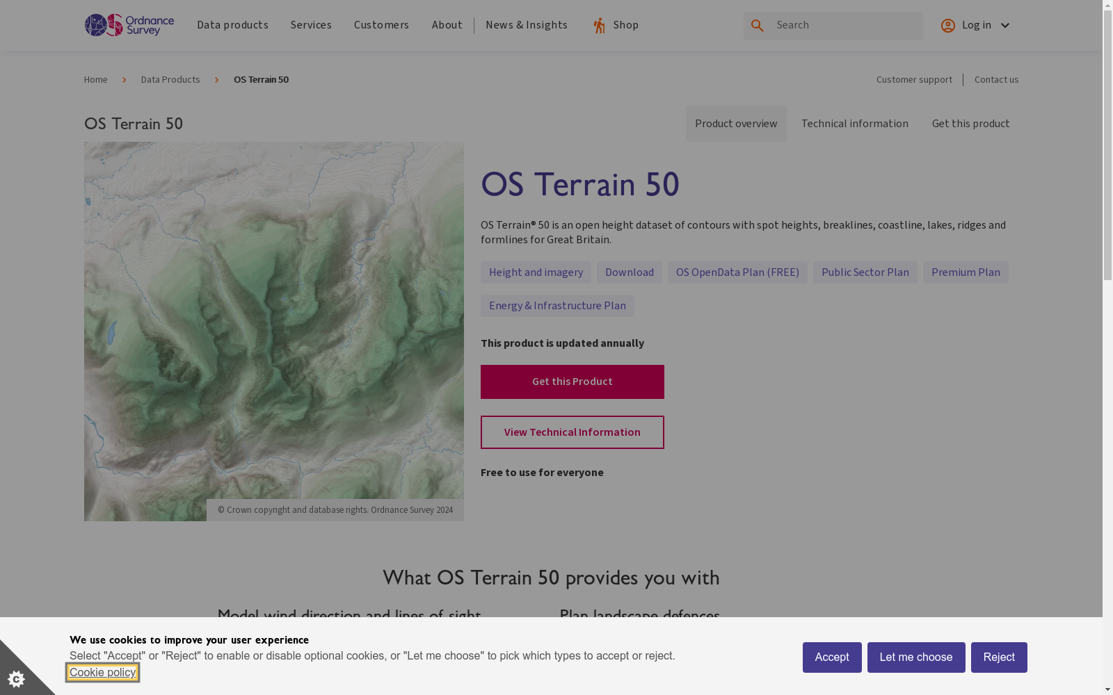
OS Terrain 50
收藏资源简介:
OS Terrain 50数据集是由英国测绘局提供的英国地形数据集,覆盖了整个英国及其岛屿,包含957,174个局部最优值。该数据集通过线性插值和轻微修改,模拟了英国的真实地形,用于优化算法的基准测试。数据集的创建过程包括下载原始数据、进行线性插值和生成人工海底斜坡。该数据集主要用于优化算法的教育工具和性能评估,旨在解决在复杂地形中寻找全局最优解的问题。
The OS Terrain 50 dataset is a British terrain dataset provided by the Ordnance Survey, covering the entire United Kingdom and its surrounding islands, and containing 957,174 local optima. This dataset simulates the real terrain of the United Kingdom through linear interpolation and minor modifications, and is used for benchmark testing of optimization algorithms. The creation process of the dataset includes downloading raw data, performing linear interpolation, and generating artificial seabed slopes. This dataset is primarily utilized as educational resources and for performance evaluation of optimization algorithms, aiming to address the challenge of finding global optimal solutions in complex terrain.