
Paris-CARLA-3D
收藏资源简介:
Paris-CARLA-3D数据集由MINES ParisTech, PSL University的机器人中心创建,包含7亿个密集彩色点云,分为合成数据(7亿点)和真实数据(6千万点)两部分。数据集通过移动激光雷达和相机系统获取,旨在评估和改进户外环境3D地图中的语义分割、实例分割和场景完成等任务。数据集的独特之处在于,合成数据与真实数据使用相同的激光雷达和相机平台,并进行了手动标注,以便测试从合成到真实数据的转移方法。
The Paris-CARLA-3D dataset was created by the Robotics Center of MINES ParisTech, PSL University. It consists of 700 million dense colored point clouds, split into two subsets: synthetic data (700 million points) and real-world data (60 million points). The dataset is acquired using a mobile LiDAR and camera system, and is designed to evaluate and improve tasks such as semantic segmentation, instance segmentation and scene completion in 3D maps of outdoor environments. The distinctive feature of this dataset is that both the synthetic and real-world data were collected with the same LiDAR and camera platform, and are manually annotated, enabling the testing of transfer learning methods from synthetic to real-world data.
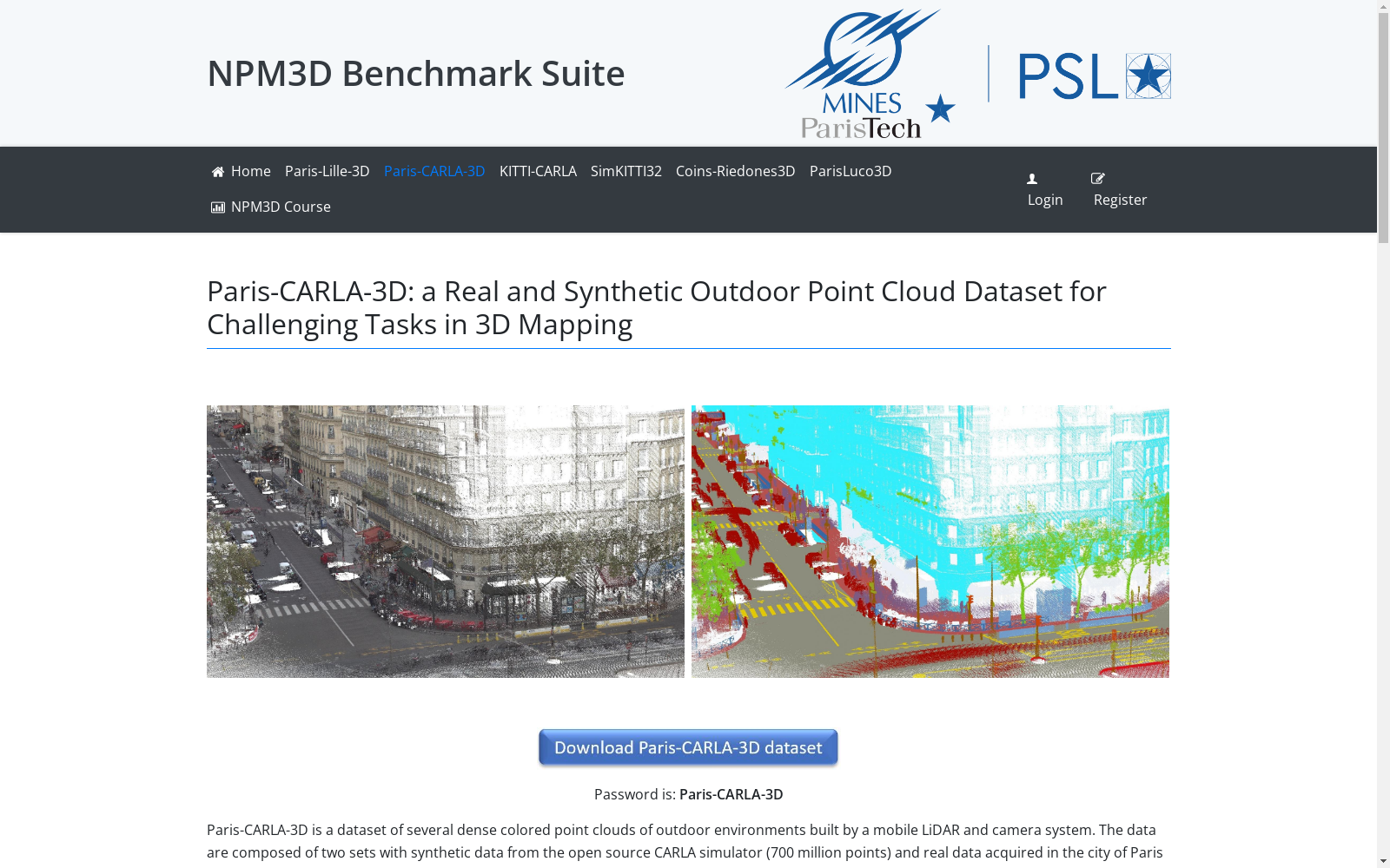
- 1Paris-CARLA-3D: A Real and Synthetic Outdoor Point Cloud Dataset for Challenging Tasks in 3D MappingMINES ParisTech, PSL University, Centre for robotics · 2021年


