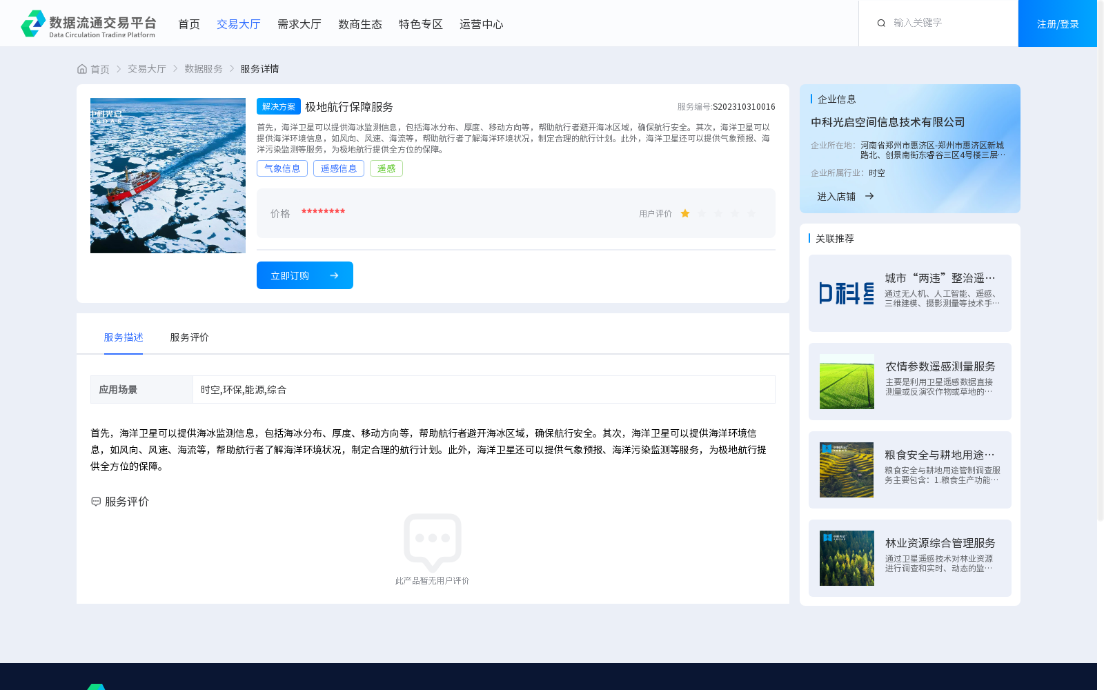
极地航行保障服务
收藏资源简介:
首先,海洋卫星可以提供海冰监测信息,包括海冰分布、厚度、移动方向等,帮助航行者避开海冰区域,确保航行安全。其次,海洋卫星可以提供海洋环境信息,如风向、风速、海流等,帮助航行者了解海洋环境状况,制定合理的航行计划。此外,海洋卫星还可以提供气象预报、海洋污染监测等服务,为极地航行提供全方位的保障。
Firstly, marine satellites can provide sea ice monitoring data, including sea ice distribution, thickness, drift direction and other relevant parameters, helping navigators avoid sea ice-covered regions and ensure navigation safety. Secondly, marine satellites can also supply marine environmental information such as wind direction, wind speed, ocean currents and other related metrics, enabling navigators to understand the marine environmental status and develop reasonable navigation plans. Moreover, marine satellites can additionally offer services including meteorological forecasting and marine pollution monitoring, providing all-round support for polar navigation.