
道路表面重建数据集(RSRD)
收藏资源简介:
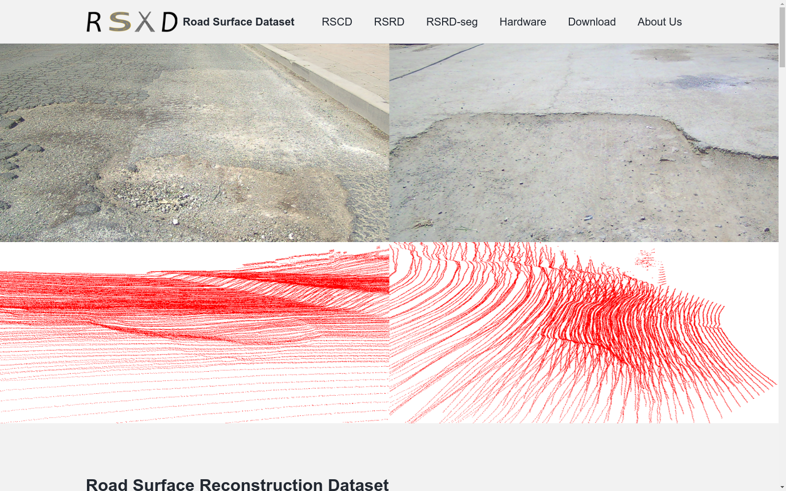
道路表面重建数据集(RSRD)是由清华大学和加州大学伯克利分校联合开发的大型、高分辨率和高精度的真实世界数据集。该数据集包含约16,000对立体图像、原始点云和地面真实深度/视差图,覆盖多种道路类型和驾驶条件。数据集的创建过程涉及使用专门的平台进行数据采集,并通过精确的后处理流程确保数据质量。RSRD主要用于道路表面重建,支持深度估计和立体匹配等任务,旨在提高自动驾驶的安全性和舒适性。
The Road Surface Reconstruction Dataset (RSRD) is a large-scale, high-resolution, high-precision real-world dataset jointly developed by Tsinghua University and the University of California, Berkeley. This dataset contains approximately 16,000 pairs of stereo images, raw point clouds, and ground-truth depth/disparity maps, covering various road types and driving conditions. The development of this dataset involves data collection using specialized platforms, and ensures data quality through a precise post-processing pipeline. RSRD is primarily used for road surface reconstruction, supports tasks such as depth estimation and stereo matching, and aims to enhance the safety and comfort of autonomous driving.
- 1RSRD: A Road Surface Reconstruction Dataset and Benchmark for Safe and Comfortable Autonomous Driving清华大学车辆与运载学院,加州大学伯克利分校机械工程系 · 2023年


