ZuriPano
收藏资源简介:
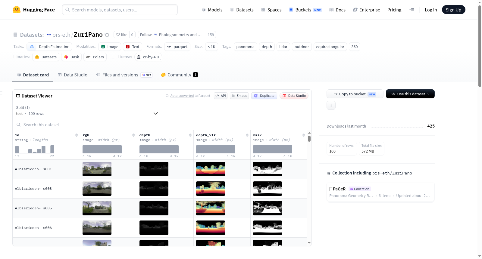
ZüriPano是一个真实世界的户外全景深度基准数据集,专为评估长距离户外全景深度估计任务而设计。该数据集使用Leica RTC360 LiDAR扫描仪捕获,具备8K分辨率、130米有效范围,并采用HDR和自动双重扫描技术以消除瞬态遮挡。数据集包含100个等距柱状投影全景图,覆盖瑞士苏黎世11个不同的城市地点,每个全景图均配有一个密集的度量深度图和一个有效性掩码。数据集仅提供测试分割,包含100个样本,每个样本由id(样本标识符,格式为“<地点>-s<编号>”)、rgb(8位RGB图像,JPG编码,分辨率为4096×2048)、depth(16位单通道PNG深度图,分辨率为2048×4096,可通过缩放因子转换为以米为单位的浮点值)和mask(8位单通道PNG掩码,指示像素的可靠性,True表示可靠像素,False表示天空、无返回或镜面表面等无效区域)四个核心字段组成。该数据集适用于全景深度估计模型的性能评估,使用时需在计算深度指标前应用掩码以确保准确性。数据集采用CC BY-4.0许可证发布,允许自由使用和改编,但需注明作者和数据集来源。
ZüriPano is a real-world outdoor panoramic depth benchmark dataset, specifically designed for evaluating long-range outdoor panoramic depth estimation tasks. The dataset is captured using a Leica RTC360 LiDAR scanner, featuring 8K resolution, a 130-meter effective range, and employs HDR and automatic double-scanning techniques to eliminate transient occlusions. It contains 100 equirectangular projection panoramic images, covering 11 different urban locations in Zurich, Switzerland, with each panoramic image accompanied by a dense metric depth map and a validity mask. The dataset only provides a test split, consisting of 100 samples, each comprising four core fields: id (sample identifier in the format "<location>-s<number>"), rgb (8-bit RGB image, JPG-encoded with a resolution of 4096 × 2048), depth (16-bit single-channel PNG depth map with a resolution of 2048 × 4096, convertible to floating-point values in meters via a scaling factor), and mask (8-bit single-channel PNG mask indicating pixel reliability, where True represents reliable pixels and False indicates invalid regions such as sky, no-return, or specular surfaces). This dataset is suitable for performance evaluation of panoramic depth estimation models, and the mask must be applied before computing depth metrics to ensure accuracy. It is released under the CC BY-4.0 license, allowing free use and adaptation with attribution to the authors and dataset source.
数据集概述:ZüriPano
ZüriPano 是一个真实世界的户外全景深度基准数据集,由 Leica RTC360 LiDAR 扫描仪采集,提供高精度深度信息。该数据集专门用于评估户外长距离全景深度估计方法,是 PaGeR 项目的户外评估基准。
- 许可协议: Creative Commons Attribution 4.0 International (CC BY-4.0)
- 任务类别: 深度估计
- 标签: 全景、深度、激光雷达、户外、等距柱状投影、360度
- 数据集大小: 少于1000个样本
- 配置: 仅包含一个
default配置,数据文件位于data/test-*
数据集详情
- 内容: 包含100个户外扫描,覆盖苏黎世11个城市场景,仅用于评估。
- 模态:
- RGB: JPG 格式,8位等距柱状投影图像。
- 深度: 16位 PNG 格式,通过缩放因子转换为米。
- 有效性掩码: 8位 PNG 格式,标记可靠像素。
- 深度可视化: 8位 Spectral 色彩映射 RGB PNG,仅用于预览,不应用于计算指标或训练。
- 分辨率: 4096 × 2048 等距柱状投影(ERP)。
- 用途: 评估户外长距离全景深度估计算法。
数据结构
数据集包含一个名为 test 的拆分,共100行数据。每行包含以下字段:
| 列名 | 类型 | 描述 |
|---|---|---|
id |
string |
样本ID,格式为 <位置>- s<编号>。 |
rgb |
Image |
8位等距柱状投影 RGB 图像(4096 × 2048,JPG 编码)。 |
depth |
Image |
16位单通道 PNG,尺寸为 (2048, 4096)。解码为米:np.asarray(img, dtype=np.float32) * (200.0 / 65535.0)。无效像素值为 0.0。 |
depth_viz |
Image |
8位 RGB PNG,使用 Spectral 色彩映射的对数深度图。仅用于预览,请勿用于指标计算或训练。 |
mask |
Image |
8位单通道 PNG,尺寸为 (2048, 4096)。解码为布尔值:255 表示 True。True 表示可靠像素,False 表示天空、无回波或镜面表面。 |
使用示例
python import numpy as np from datasets import load_dataset
ds = load_dataset("prs-eth/ZuriPano", split="test") sample = ds[0]
rgb = sample["rgb"] # PIL.Image, (W=4096, H=2048) depth = np.asarray(sample["depth"], dtype=np.float32) * (200.0 / 65535.0) # (2048, 4096) float32, meters mask = np.asarray(sample["mask"], dtype=bool) # (2048, 4096) bool
在计算深度指标前务必应用掩码
valid_depth = depth[mask]
相关链接
- GitHub 仓库: https://github.com/prs-eth/PaGeR
- 项目网站: https://pager360.github.io/
- Hugging Face 集合: https://huggingface.co/collections/prs-eth/pager