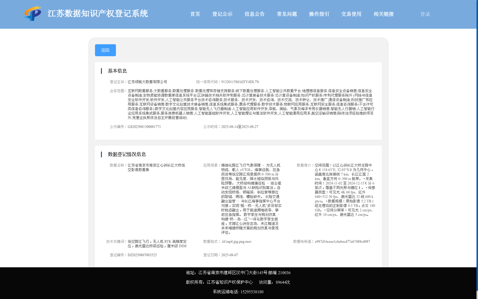
江苏省南京市南京江心洲长江大桥低空影像数据集
收藏资源简介:
空间范围:以江心洲长江大桥主跨中心(118.63°E, 32.03°N)为几何中心,涵盖南北岸接线 7 km、长江江面 2 km、垂直方向 0–300 m 航带。 • 采集时间:2024-11-02 至 2024-12-15(分 6 架次,覆盖不同光照与潮位)。 • 传感器类型:可见光 4K 60 fps、红外 640×512 30 fps、激光雷达 32 线 600 k pts/s。 • 数据规模:原始影像 5.2 TB;经处理后的正射影像 0.5 TB,点云 180 GB。 • 空间分辨率:可见光 2 cm/px、红外 10 cm/px、激光雷达 5 cm/px。
Spatial Scope: Taking the geometric center of the main span of Jiangxinzhou Yangtze River Bridge (118.63°E, 32.03°N) as the central reference point, this dataset covers 7 km of north-south bank connecting roads, 2 km of Yangtze River water surface, and a vertical flight strip ranging from 0 to 300 m. • Collection Period: From 2024-11-02 to 2024-12-15, with data acquired in 6 sorties to cover diverse lighting conditions and tidal levels. • Sensor Types: Visible light camera (4K resolution, 60 fps), infrared camera (640×512 resolution, 30 fps), 32-line LiDAR (600 k pts/s). • Data Scale: 5.2 TB of original imagery; 0.5 TB of processed orthophotos, and 180 GB of point clouds. • Spatial Resolution: 2 cm per pixel for visible light data, 10 cm per pixel for infrared data, and 5 cm per pixel for LiDAR data.