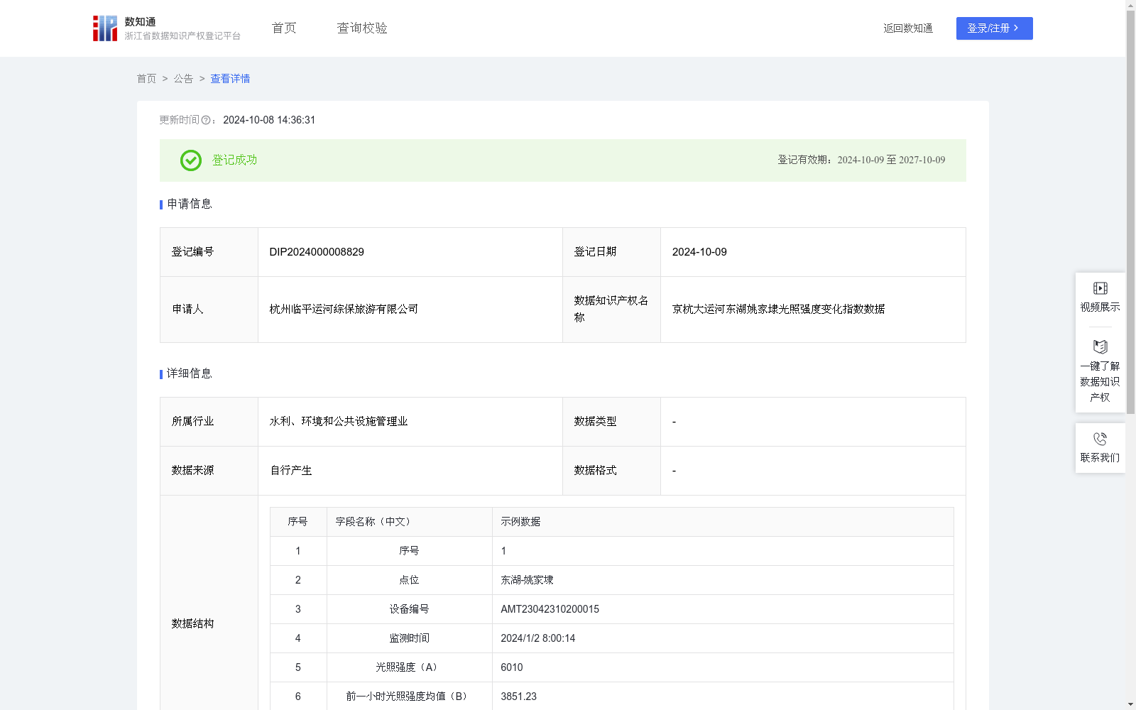
京杭大运河东湖姚家埭光照强度变化指数数据
收藏资源简介:
通过实时监测京杭大运河东湖姚家埭区段的光照强度数据,经过算法加工得到光照强度变化指数数据。光照强度变化指数可用于分析预测京杭大运河航线中姚家埭区段的天气和气候变化情况,指导京杭大运河航运交通的时间和路线规划、航运路线上灯光的合理使用,为京杭大运河的数字化航运体系建设提供有效数据支撑。(1)数据采集:通过在线设备,每分钟实时测量获取京杭大运河东湖姚家埭区段光照强度数据(简称:A,单位:Lux)、该时刻对应的前一小时平均光照强度数据(简称:B,单位:Lux); (2)数据处理:由测量所得光照强度数据A和前一小时平均光照强度数据B,计算光照强度变化指数(简称:α):α=(A-B)/B; (3)数据应用:α可正可负。当α>0时,代表环境光照强度逐渐升高,航运交通的能见度逐渐增加。当α<0时,代表环境光照强度逐渐降低,航运交通的能见度逐渐降低。结合光照强度数据A的大小,可分析和预测天气的好坏,预警恶劣天气变化。本数据可用于指导京杭大运河航运交通的时间和路线规划、航运路线灯光的合理使用,为京杭大运河的数字化航运建设提供有效数据支撑。
This dataset is generated by processing real-time light intensity monitoring data from the Yaojiadai Section of East Lake along the Beijing-Hangzhou Grand Canal with algorithms to obtain light intensity change index data. The light intensity change index can be used to analyze and forecast weather and climate changes at the Yaojiadai Section of the Grand Canal’s shipping route, guide the scheduling of shipping time, route planning, and the rational use of lighting along shipping routes of the Beijing-Hangzhou Grand Canal, and provide effective data support for the construction of the digital shipping system of the Grand Canal. (1) Data Collection: Light intensity data (abbreviated as A, unit: Lux) and the average light intensity over the preceding one hour corresponding to the measurement timestamp (abbreviated as B, unit: Lux) at the Yaojiadai Section of East Lake along the Beijing-Hangzhou Grand Canal are collected in real time via online equipment at a frequency of once per minute. (2) Data Processing: The light intensity change index (abbreviated as α) is calculated using the measured A and B with the formula: α = (A - B)/B. (3) Data Application: The value of α can be either positive or negative. When α > 0, it indicates that the ambient light intensity is increasing, and the visibility for shipping traffic is gradually improving. When α < 0, it means the ambient light intensity is decreasing, and the visibility for shipping traffic is gradually deteriorating. Combined with the magnitude of the light intensity data A, the severity of weather conditions can be analyzed and predicted, and early warnings for severe weather changes can be issued. This dataset can be used to guide the scheduling of shipping time and route planning for the Beijing-Hangzhou Grand Canal, optimize the use of lighting along shipping routes, and provide effective data support for the construction of the digital shipping system of the Beijing-Hangzhou Grand Canal.