Data-Gouv-FR/zones-daide-a-finalite-regionale-afr
收藏资源简介:
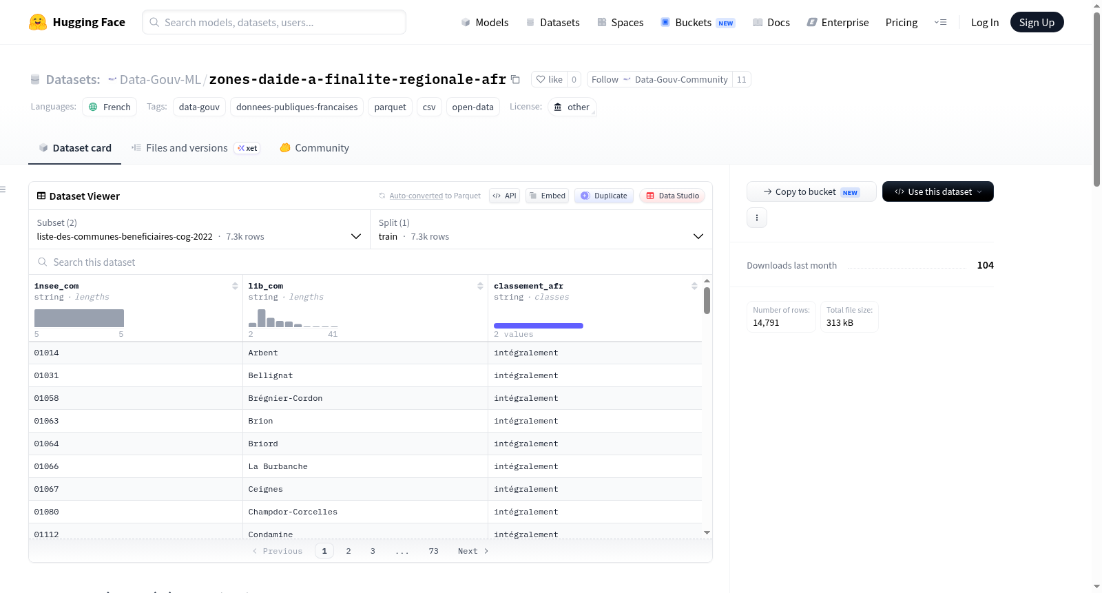
该数据集包含法国区域援助区(Zones dAide à finalité régionale, AFR)的相关数据,覆盖2022-2027年期间。数据集基于欧洲委员会采纳的法国区域援助区地图,并取代了2014-2021年期间的旧地图。它定义了国家及地方政府可向企业提供投资和就业创造援助的区域、条件和限制,并根据欧洲规则,依据地区脆弱性确定了投资援助的最高税率。数据集具体包括:AFR的边界范围(几何文件)、受益市镇列表以及区划跟踪列表。数据以parquet和csv格式提供,包含两个子集:liste-des-communes-beneficiaires-cog-2022(受益市镇列表)和suivi-du-zonage-cog-2022(区划跟踪)。数据集来源于法国政府开放数据平台data.gouv.fr,适用于区域政策分析、经济研究和公共管理应用。
This dataset contains data related to the French Zones dAide à finalité régionale (AFR) for the period 2022-2027. It is based on the French regional aid map adopted by the European Commission, replacing the previous map for 2014-2021. The dataset defines the areas, conditions, and limits within which the state and local authorities can provide investment and job creation aid to companies, and determines the maximum investment aid rates based on regional fragility in accordance with European rules. Specifically, the dataset includes: the perimeter of AFR (geometry file), the list of beneficiary municipalities, and the zoning tracking list. The data is provided in parquet and csv formats, with two subsets: liste-des-communes-beneficiaires-cog-2022 (list of beneficiary municipalities) and suivi-du-zonage-cog-2022 (zoning tracking). The dataset is sourced from the French open data platform data.gouv.fr and is suitable for regional policy analysis, economic research, and public administration applications.