
FieldSAFE
收藏资源简介:
FieldSAFE是由奥胡斯大学工程学院创建的多模态数据集,专注于农业环境中的障碍物检测。该数据集包含约2小时的原始传感器数据,采集自2016年10月丹麦的一次草坪修剪场景。数据集涵盖了立体相机、热像仪、网络摄像头、360度相机、激光雷达和雷达等多种传感器的记录,同时融合了IMU和GNSS实现精确定位。数据集中包括静态和动态障碍物,如人、人体模型、岩石、桶、建筑物、车辆和植被,所有障碍物均配有地面实况对象标签和地理坐标。该数据集旨在支持自主农业车辆的安全系统研究,特别是在实时障碍物检测和避免方面。
FieldSAFE is a multimodal dataset created by the Faculty of Engineering, Aarhus University, focusing on obstacle detection in agricultural environments. This dataset contains approximately 2 hours of raw sensor data collected during a lawn mowing scenario in Denmark in October 2016. It includes recordings from various sensors such as stereo cameras, thermal imagers, webcams, 360-degree cameras, LiDAR and radar, and integrates IMU and GNSS for precise positioning. The dataset covers both static and dynamic obstacles including humans, mannequins, rocks, barrels, buildings, vehicles and vegetation, with all obstacles equipped with ground-truth object labels and geographic coordinates. This dataset is designed to support research on safety systems for autonomous agricultural vehicles, particularly in real-time obstacle detection and avoidance.
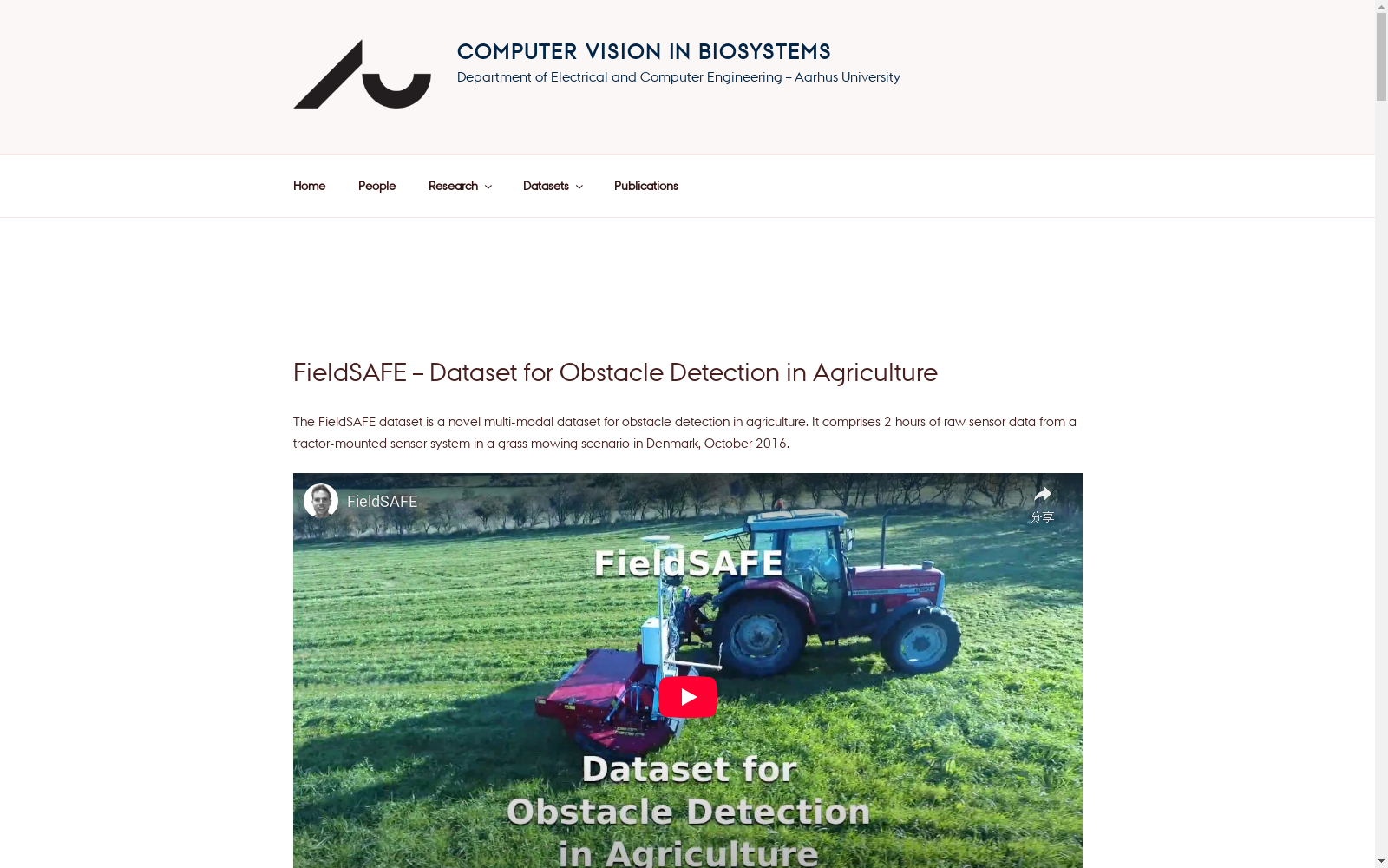
- 1FieldSAFE: Dataset for Obstacle Detection in Agriculture奥胡斯大学工程学院 · 2017年


