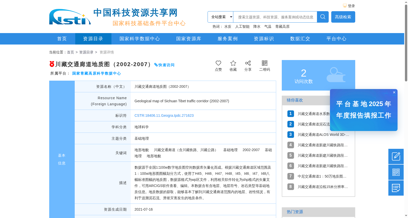
川藏交通廊道地质图(2002-2007)
收藏资源简介:
数据源于全国1∶100w数字地质图空间数据库矢量化而成。根据川藏交通廊道区域范围及1:100w地形图图幅划分方式,使用了H45、H46、H47、H48、I45、I46、I47、I48八幅标准图幅的地质图,数据源格式为wp区文件,利用相关软件转化为shp格式的矢量文件,可用ARCIGS软件查看、编辑。本数据含有含地层、地层符号、岩石类型等基础地质信息。地质数据的获取,能够基本了解到川藏交通廊道范围内的地层、岩性情况,有利于追溯泥石流、滑坡灾害发生的地质条件。
This dataset is vectorized from the national 1:1,000,000-scale digital geological map spatial database. According to the regional extent of the Sichuan-Tibet Transportation Corridor and the map sheet division rules of 1:1,000,000-scale topographic maps, geological maps of 8 standard sheets including H45, H46, H47, H48, I45, I46, I47 and I48 were adopted. The original data source was in WP zone file format, which was converted into shapefile (SHP) format vector files using relevant professional software, and can be viewed and edited with ArcGIS software. This dataset contains basic geological information including strata, stratigraphic symbols and rock types. Acquiring this geological data enables a basic understanding of the stratigraphic and lithologic conditions within the Sichuan-Tibet Transportation Corridor, and facilitates the tracing of the geological conditions underlying debris flow and landslide disasters.