
GLAS/ICESat L1B Global Elevation Data (HDF5), Version 33
收藏官方服务:
资源简介:
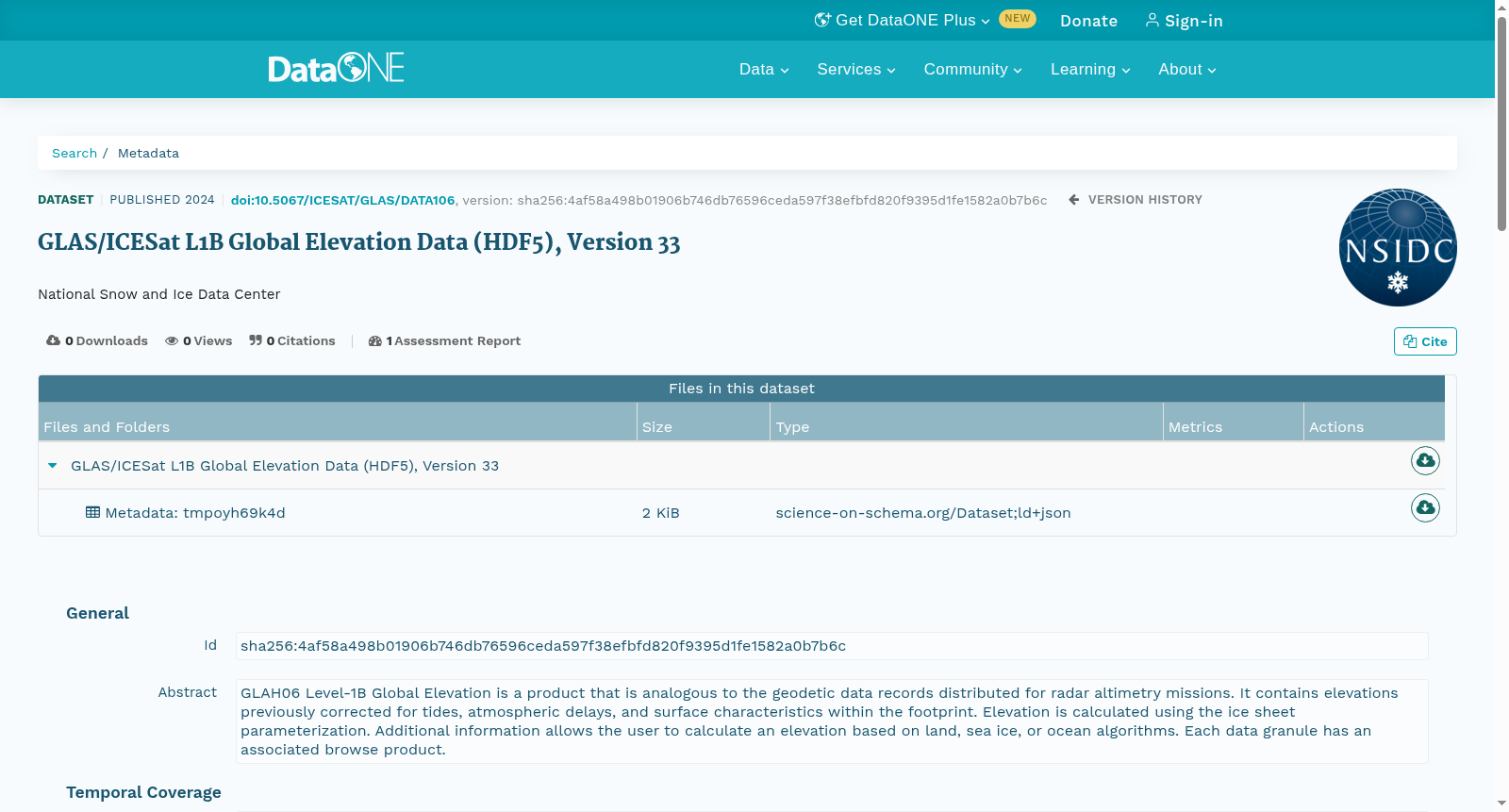
GLAH06 Level-1B Global Elevation is a product that is analogous to the geodetic data records distributed for radar altimetry missions. It contains elevations previously corrected for tides, atmospheric delays, and surface characteristics within the footprint. Elevation is calculated using the ice sheet parameterization. Additional information allows the user to calculate an elevation based on land, sea ice, or ocean algorithms. Each data granule has an associated browse product.
GLAH06 1B级全球高程数据集(GLAH06 Level-1B Global Elevation)是一类类似于雷达测高任务所分发的大地测量数据记录的产品。该数据集包含已针对潮汐、大气延迟以及观测足迹范围内的地表特征完成校正的高程数据,其高程值通过冰盖参数化方法计算得到。此外,数据集附带的额外信息可支持用户基于陆地、海冰或海洋的专属算法自主计算高程。每个数据粒(data granule)均配有配套的浏览产品。
搜集汇总
数据集介绍
以上内容由遇见数据集搜集并总结生成


