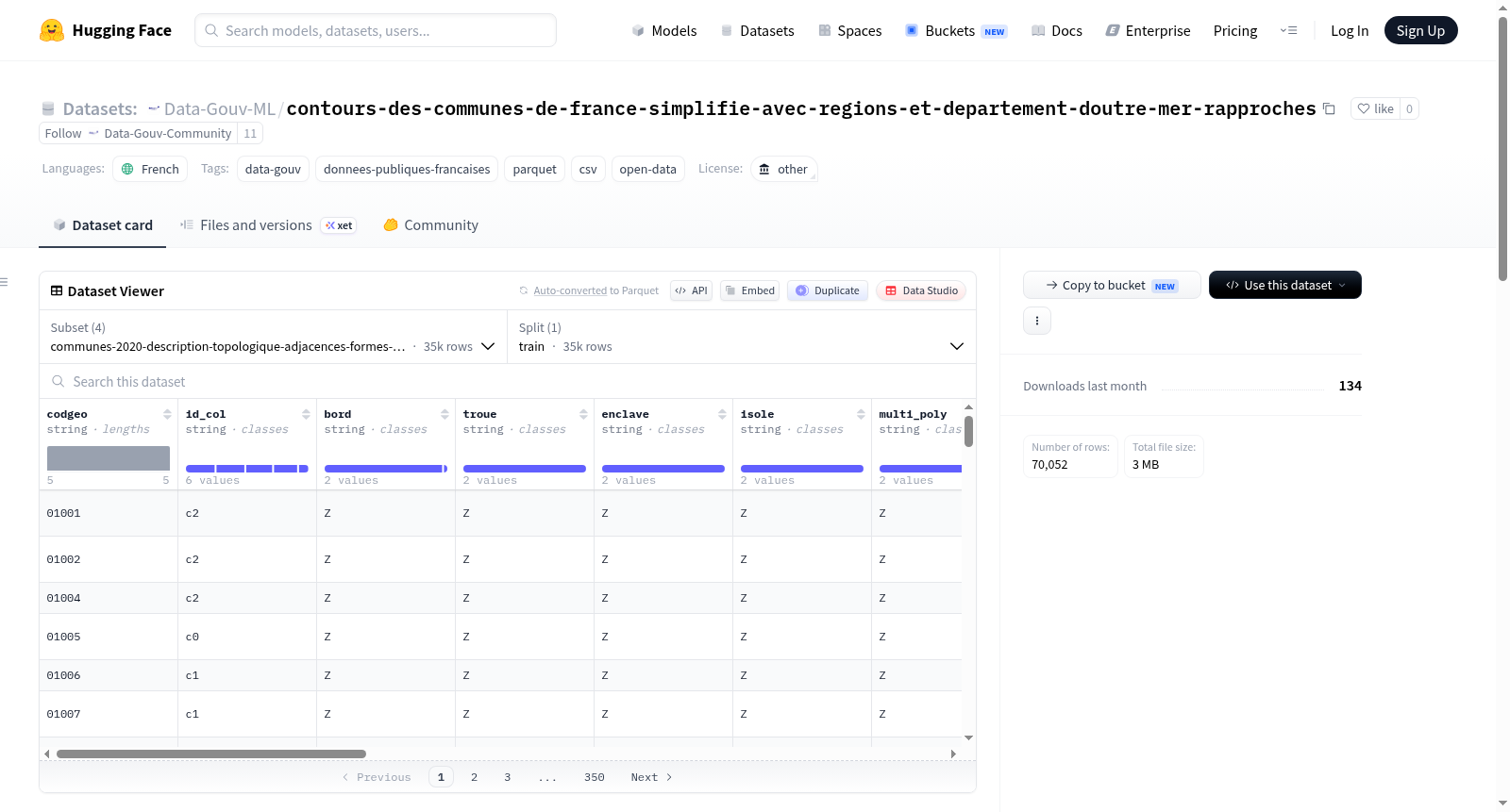
Data-Gouv-FR/contours-des-communes-de-france-simplifie-avec-regions-et-departement-doutre-mer-rapproches
收藏资源简介:
该数据集基于法国国家地理与林业信息研究所(IGN)的ADMIN-EXPRESS-COG数据生成,经过简化处理(减少因子2),专为专题制图、统计分析和交互式网络地图发布而优化。它将海外地区和部门(Droms)拉近至大都会附近,以方便可视化。数据集包括简化后的法国市镇轮廓、优化后的质心(尽可能基于市政厅位置),坐标以EPSG:3857和WGS84格式提供,并包含单独的质心点层。对于海外地区,坐标经过调整以匹配移动后的领土。此外,市镇轮廓层还提供topoJSON格式,适用于D3、Magrit等工具。数据集旨在支持高效的地图制作和数据分析应用。
The dataset is produced from IGNs ADMIN-EXPRESS-COG. It is generalized again (reduction by a factor of 2), optimized for thematic mapping, statistical analysis, and publication of interactive web maps. The overseas regions and departments (Droms) are brought closer to the metropolis. It also describes optimized centroids, derived as much as possible from the position of the town hall. Coordinates are included in the municipal contour layer in EPSG:3857 and WGS84, and are also expressed as a separate point layer. For Droms, coordinates are adjusted to coincide with the displaced overseas territories. The municipal contour layer is also offered in topoJSON format for use with tools like D3, Magrit, etc.