prs-eth/ZuriPano
收藏资源简介:
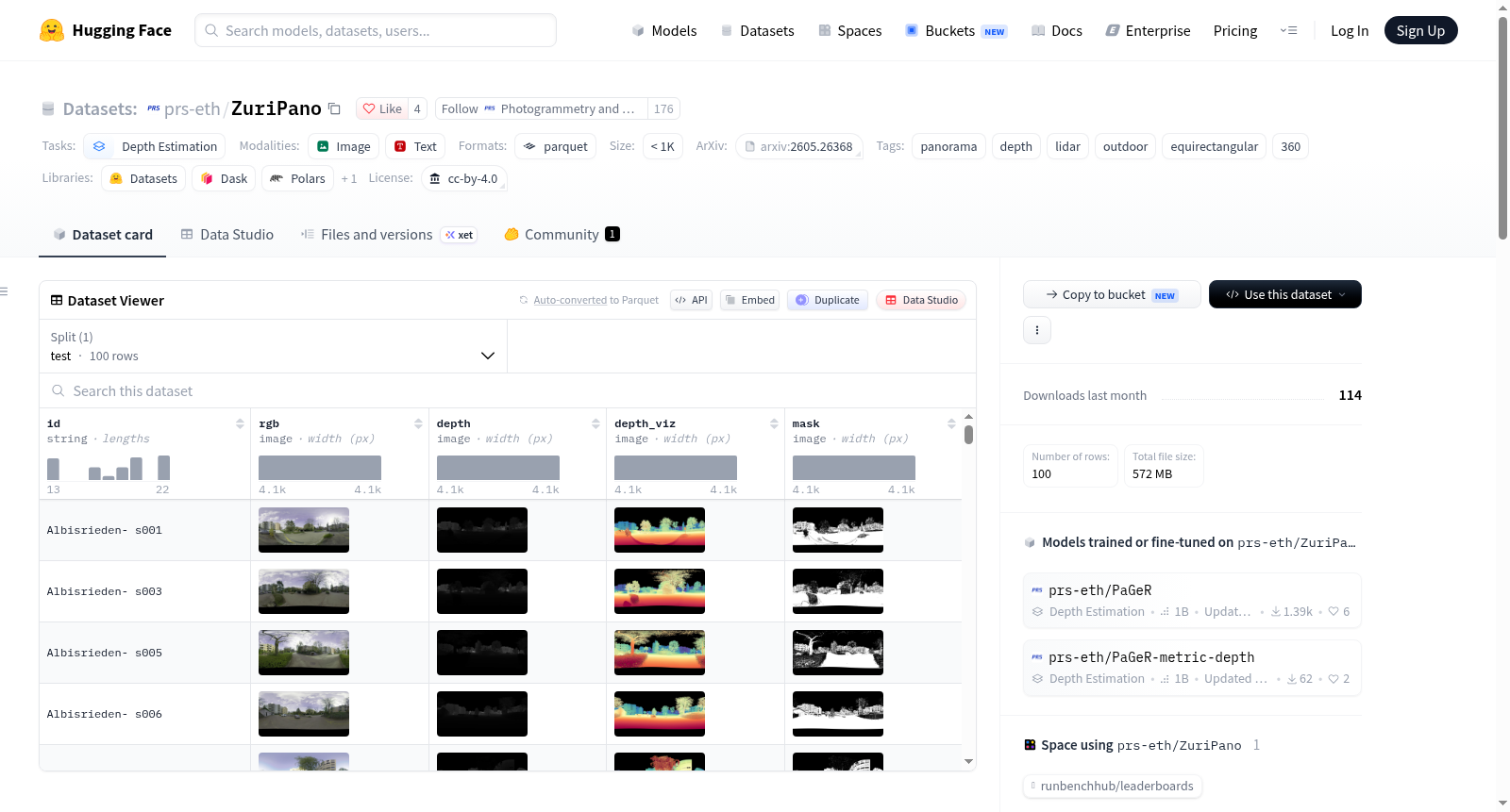
ZüriPano是一个真实世界的室外全景深度基准数据集,使用Leica RTC360 LiDAR扫描仪(8K捕获,有效范围130米,具有HDR和自动双扫描以去除瞬态遮挡)捕获。它包含100个等距柱面投影全景图,覆盖瑞士苏黎世的11个城市位置,每个全景图都配有一个密集的度量深度图和一个有效性掩码。该数据集用于评估室外全景深度估计,特别是长距离场景,作为PaGeR项目的室外评估基准。数据内容仅用于评估,包括100个室外扫描,模态包括RGB(JPG格式)、深度(16位PNG,通过比例因子转换为米)、有效性掩码(8位PNG)和深度可视化(8位光谱RGB PNG,仅用于预览)。分辨率为4096×2048的等距柱面投影。
ZüriPano is a real-world outdoor panoramic depth benchmark, captured with the Leica RTC360 LiDAR scanner (8K capture, 130 m effective range, HDR + automated double-scan for transient-occlusion removal). It contains 100 equirectangular panoramas across 11 urban locations in Zürich, each paired with a dense metric depth map and a validity mask. It is used as the outdoor evaluation benchmark for PaGeR, specifically for evaluating long-range outdoor panoramic depth estimation. The dataset is evaluation-only, with 100 outdoor scans, modalities including RGB (JPG), Depth (16-bit PNG, meters via scale factor), Validity Mask (8-bit PNG), and Depth Viz (8-bit Spectral RGB PNG, preview only). The resolution is 4096 × 2048 equirectangular (ERP).