
OutFin
收藏资源简介:
OutFin数据集是由丹佛大学工程与计算机科学学院电气与计算机工程系的研究团队创建,旨在提供一个多设备、多模态的户外定位指纹数据集。该数据集包含122个参考点,通过两部智能手机收集了包括WiFi、蓝牙、蜂窝信号强度以及多种传感器(如磁力计、加速度计、陀螺仪、气压计和环境光传感器)的数据。数据集的创建过程经过精心设计,以确保技术质量,并提供了详细的参考点坐标和环境信息。OutFin数据集适用于开发和评估基于指纹的定位解决方案,特别是在城市环境中作为全球导航卫星系统和蜂窝网络定位的替代方案。此外,数据集还可能促进机器学习、贝叶斯优化、同时定位与地图构建以及地图匹配等领域的研究创新。
The OutFin dataset was created by a research team from the Department of Electrical and Computer Engineering, School of Engineering and Computer Science, University of Denver, aiming to provide a multi-device, multi-modal outdoor positioning fingerprint dataset. It contains 122 reference points, with data including WiFi, Bluetooth, cellular signal strength, and measurements from multiple sensors (magnetometer, accelerometer, gyroscope, barometer, and ambient light sensor) collected via two smartphones. The dataset development process was meticulously engineered to ensure technical quality, with detailed reference point coordinates and environmental information provided alongside the dataset. The OutFin dataset is applicable for developing and evaluating fingerprint-based positioning solutions, especially as an alternative to global navigation satellite system (GNSS) and cellular network positioning in urban environments. Additionally, this dataset can facilitate research innovations across fields including machine learning, Bayesian optimization, simultaneous localization and mapping (SLAM), and map matching.
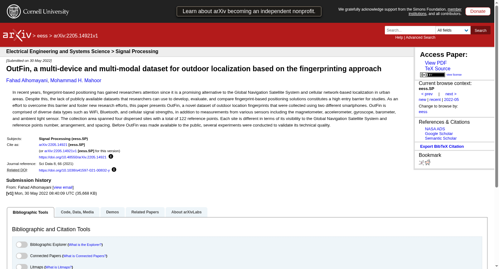
- 1OutFin, a multi-device and multi-modal dataset for outdoor localization based on the fingerprinting approach丹佛大学工程与计算机科学学院电气与计算机工程系 · 2022年


