HIT-UAV: A High-altitude Infrared Thermal Dataset for Unmanned Aerial Vehicles
收藏资源简介:
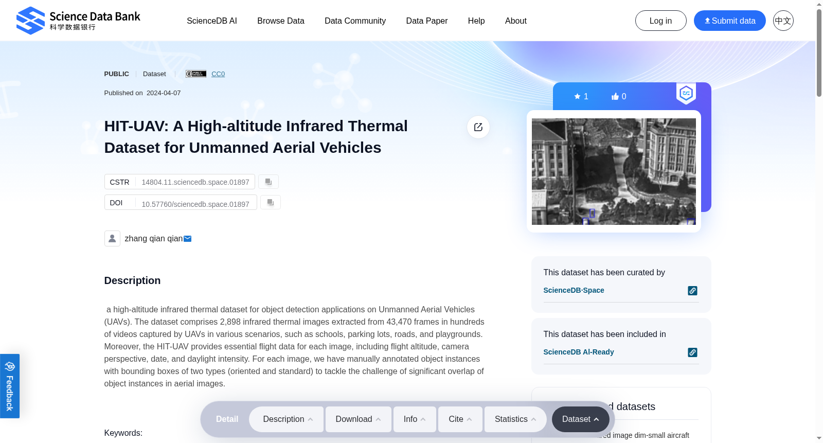
a high-altitude infrared thermal dataset for object detection applications on Unmanned Aerial Vehicles (UAVs). The dataset comprises 2,898 infrared thermal images extracted from 43,470 frames in hundreds of videos captured by UAVs in various scenarios, such as schools, parking lots, roads, and playgrounds. Moreover, the HIT-UAV provides essential flight data for each image, including flight altitude, camera perspective, date, and daylight intensity. For each image, we have manually annotated object instances with bounding boxes of two types (oriented and standard) to tackle the challenge of significant overlap of object instances in aerial images.
本数据集为面向无人机(Unmanned Aerial Vehicles, UAVs)目标检测任务的高空红外热成像数据集。该数据集从数百段无人机采集的视频素材中提取得到,共包含2898张红外热成像图像,原始素材共计43470帧画面,采集场景涵盖校园、停车场、道路及操场等多种环境。此外,HIT-UAV数据集为每张图像配套提供了关键飞行参数,包括飞行高度、相机拍摄视角、拍摄日期与光照强度。针对航拍图像中目标实例重叠严重的挑战,我们为每张图像内的所有目标实例手动标注了两种类型的边界框:定向边界框与标准边界框。