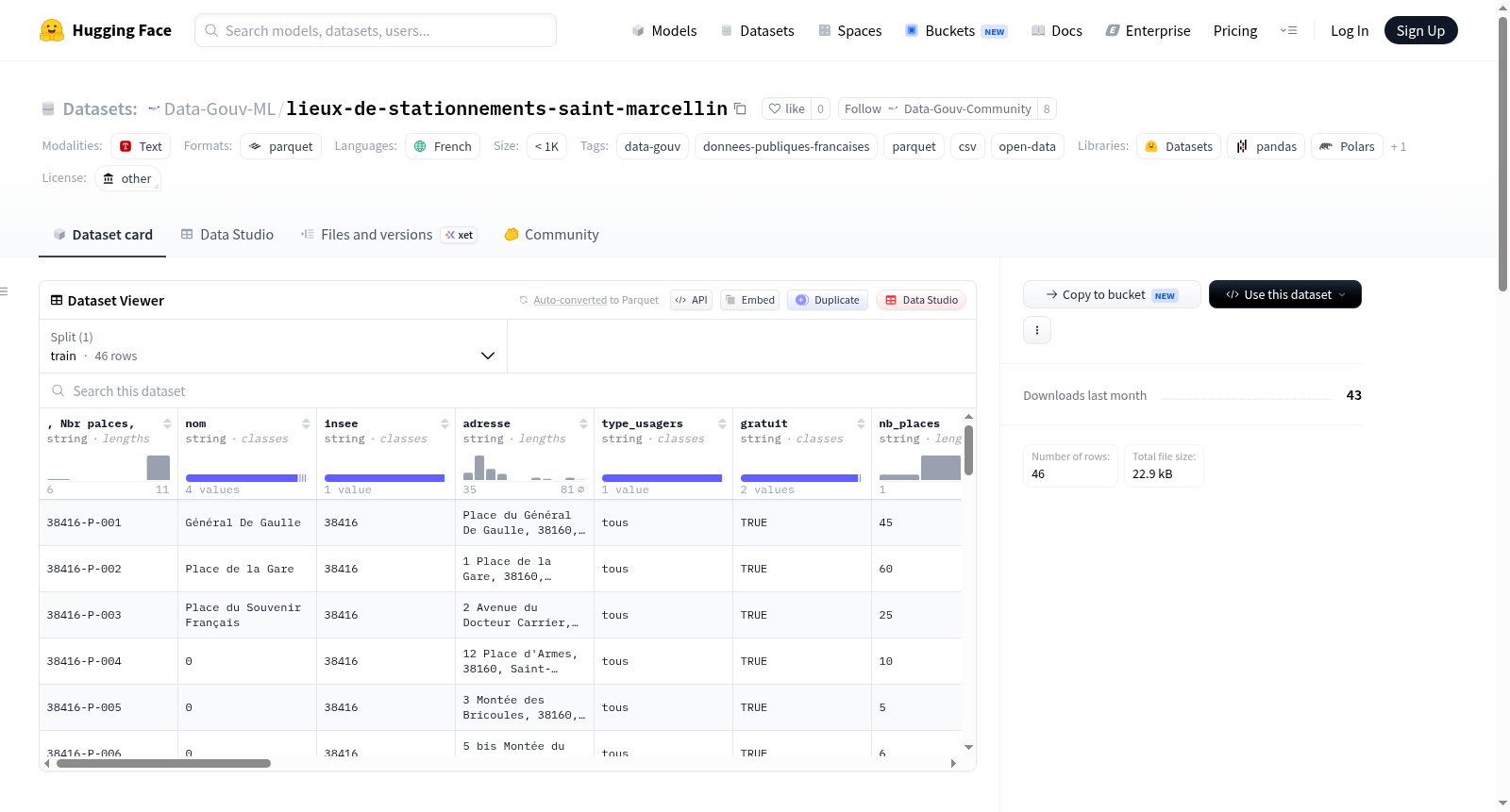
Data-Gouv-FR/lieux-de-stationnements-saint-marcellin
收藏资源简介:
该数据集记录了法国圣马塞兰市(Saint-Marcellin)的停车位信息,包括残疾人专用停车位(PMR)。数据集旨在全面盘点城市停车位,以方便使用、促进地区旅游发展。尽管城市拥有众多停车位(截至2024年),但这些信息常不为人知。数据集包含7个重要变量:ID Insee( INSEE代码)、地址(街道、邮政编码、城市)、城市INSEE代码、免费信息、用户类型、可用停车位数、残疾人专用停车位数、自行车停车位数以及GPS坐标(Xlong - Ylat)。数据发布面向圣马塞兰市及周边地区的公共机构工作人员,可用于制作地图、提升地区可访问性、推动公共场所对残疾人的包容性。经过处理后,该数据集也可供圣马塞兰市的普通用户和企业使用。数据收集过程:由于城市缺乏现有停车位数据集,团队使用OpenStreetMap定位停车场,并通过卫星视图逐一计数停车位,手动记录在电子表格中。数据由公共贡献者基于国家公共或私人数据库制作,使用了OpenStreetMap、Google Maps和Geodatamine的资源。数据保持最新,建议每年更新以确认停车位信息。
This dataset documents parking spaces in the city of Saint-Marcellin, France, including spaces for people with reduced mobility (PMR). It aims to inventory all parking spots in the city to facilitate their use and promote tourism in the area. Although the city has many parking spaces (as of 2024), they are often poorly known. The dataset includes 7 key variables: ID Insee (INSEE code), address (street, postal code, city), city INSEE code, free status, user type, number of available spaces, number of PMR spaces, number of bicycle spaces, and GPS coordinates (Xlong - Ylat). The data is intended for public agents in the Saint-Marcellin municipality and surrounding areas, who can use it to create maps, improve territorial accessibility, and enhance inclusion of people with disabilities in public spaces. After processing, the dataset can also be useful for all users in Saint-Marcellin, including individuals and businesses. Data collection process: Since the municipality lacked an existing dataset on parking spaces, OpenStreetMap was used to locate parking areas, and each space was counted manually via satellite imagery and recorded in a spreadsheet. The data was produced by public contributors using national public or private databases, with resources from OpenStreetMap, Google Maps, and Geodatamine. The data is up-to-date, and annual updates are recommended to confirm parking space information.