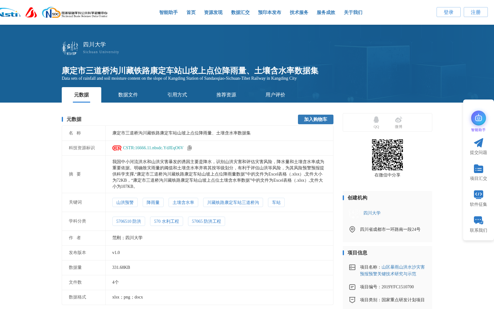
康定市三道桥沟川藏铁路康定车站山坡上点位降雨量、土壤含水率数据集
收藏资源简介:
我国中小河流洪水和山洪灾害暴发的诱因主要是降水,识别山洪灾害和评估灾害风险,降水量和土壤含水率成为重要依据。明确致灾雨量的阈值和土壤含水率并将其按等级划分,有利于评估山洪等风险,为其风险预警预报提供科学支撑,“康定市三道桥沟川藏铁路康定车站山坡上点位降雨量数据”中的文件为Excel表格(.xlsx),文件大小为72KB,“康定市三道桥沟川藏铁路康定车站山坡上点位土壤含水率数据”中的文件为Excel表格(.xlsx),文件大小为107KB。
Precipitation is the primary trigger for flood and mountain flood disasters in small and medium-sized rivers across China. When identifying mountain flood disasters and assessing their associated risks, precipitation and soil moisture content serve as critical indicators. Clarifying the thresholds and grading criteria for disaster-causing rainfall and soil moisture content facilitates risk assessments for events like mountain floods, providing scientific support for their early warning and forecasting. The file corresponding to the dataset titled "Rainfall Data at the Slope Monitoring Point of Kangding Station on the Sichuan-Tibet Railway in Sandaoqigou, Kangding City" is an Excel spreadsheet (.xlsx) with a size of 72 KB. The file corresponding to the dataset titled "Soil Moisture Content Data at the Slope Monitoring Point of Kangding Station on the Sichuan-Tibet Railway in Sandaoqigou, Kangding City" is an Excel spreadsheet (.xlsx) with a size of 107 KB.