
European Ground Motion Service: GNSS model 2015-2023 (vector), Europe, 2-yearly, May. 2023
收藏DataCite Commons2023-10-26 更新2025-04-16 收录
下载链接:
https://sdi.eea.europa.eu/catalogue/srv/api/records/8780c353-e01e-4b51-bbb3-e1e01a597033?language=all
下载链接
链接失效反馈官方服务:
资源简介:
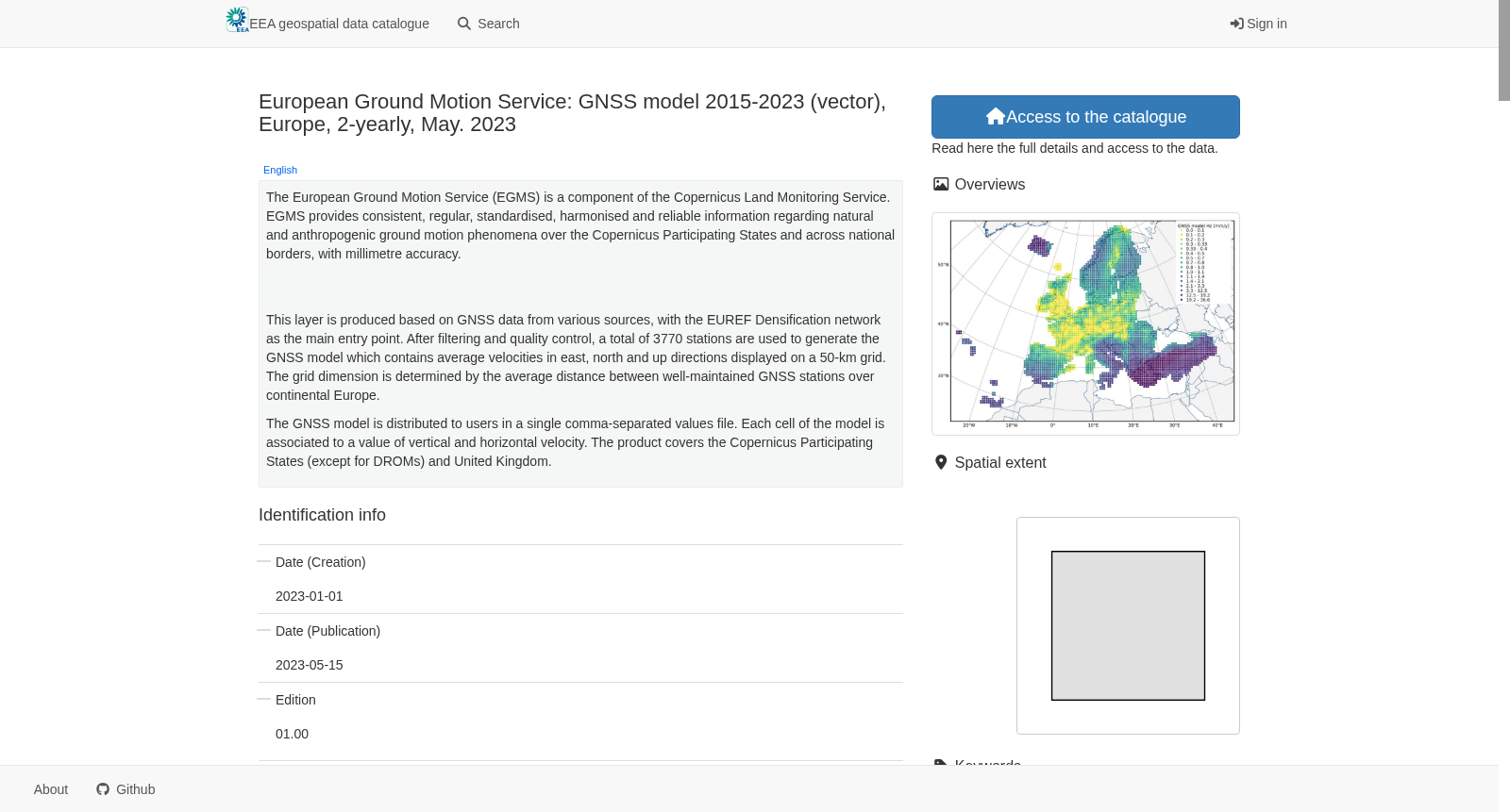
The European Ground Motion Service (EGMS) is a component of the Copernicus Land Monitoring Service. EGMS provides consistent, regular, standardised, harmonised and reliable information regarding natural and anthropogenic ground motion phenomena over the Copernicus Participating States and across national borders, with millimetre accuracy. This set of metadata describes the global navigation satellite system (GNSS) model used to calibrate the EGMS Calibrated product (https://sdi.eea.europa.eu/catalogue/srv/eng/catalog.search#/metadata/d92e61be-d6e8-4bc1-aa10-f742bf27bab9). This layer is produced based on GNSS data from various sources, with the EUREF Densification network as the main entry point. After filtering and quality control, a total of 3770 stations are used to generate the GNSS model which contains average velocities in east, north and up directions displayed on a 50-km grid. The grid dimension is determined by the average distance between well-maintained GNSS stations over continental Europe. The GNSS model is distributed to users in a single comma-separated values file. Each cell of the model is associated to a value of vertical and horizontal velocity. The product covers the Copernicus Participating States (except for DROMs) and United Kingdom.
欧洲地面运动服务(European Ground Motion Service,EGMS)是哥白尼陆地监测服务(Copernicus Land Monitoring Service)的组成部分。EGMS可为哥白尼参与国及跨国境范围内的自然与人为地面运动现象提供一致、定期、标准化、统一且可靠的信息,测量精度可达毫米级。本元数据描述的是用于校准EGMS校准产品的全球导航卫星系统(Global Navigation Satellite System,GNSS)模型,相关元数据链接为:https://sdi.eea.europa.eu/catalogue/srv/eng/catalog.search#/metadata/d92e61be-d6e8-4bc1-aa10-f742bf27bab9。该图层基于多源全球导航卫星系统数据制作,核心数据源为EUREF加密观测网。经过筛选与质量控制后,共纳入3770个测站用于生成该GNSS模型,模型包含东、北、天顶三个方向的平均速度场,以50公里网格进行展示。网格尺寸由欧洲大陆维护状况良好的GNSS测站间平均距离确定。该GNSS模型以单个逗号分隔值(CSV)文件形式向用户分发,模型的每个网格单元均关联垂向与水平向速度数值。本产品覆盖哥白尼参与国(法国海外省及领地除外)与英国。
创建时间:
2023-10-26
搜集汇总
数据集介绍
背景与挑战
背景概述
该数据集是欧洲地面运动服务(EGMS)的GNSS模型,基于3770个GNSS站点数据生成,提供2015年至2023年欧洲地区地面运动的毫米级精度监测。数据以50公里网格覆盖哥白尼参与国和英国,包含东、北和垂直方向的平均速度,主要用于自然风险区域分析和地球科学研究。
以上内容由遇见数据集搜集并总结生成


