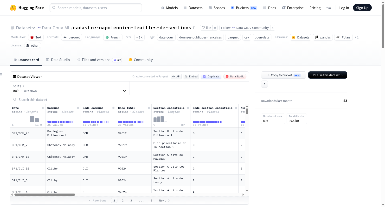
Data-Gouv-FR/cadastre-napoleonien-feuilles-de-sections
收藏资源简介:
该数据集包含法国上塞纳省拿破仑时期地籍册的原始和地理参考图幅。地籍册是用于确定土地税基的文档,这里的拿破仑地籍册指从1802年开始为某些市镇建立,1807年起规范实施,直至1860年代为上塞纳省未来所有市镇修改的地籍计划。数据来源于税务管理部门,通过巴黎省档案馆、伊夫林省档案馆以及税务和桥梁道路部门的移交进入上塞纳省档案馆。数据集按市镇和现有年份提供所有可用的图幅(原始图幅和地理参考图幅)。图幅根据来源标注为D6P、3P1和3P3。数据集还涉及上塞纳省在19世纪的行政区划变化,包括新市镇的创建和领土交换。地理参考采用RGF93 – CC49坐标系。文件命名遵循CODE-COMMUNE_DATE_CODE-SECTION_NUM-FEUILLE的规范,缺失信息用s.d、s.s或s.f表示。地理参考图幅与原始图幅同名,但带有_cale后缀。
This dataset contains original and georeferenced sheets of the Napoleonic cadastre for the territory of the Hauts-de-Seine department in France. The cadastre refers to documents used to establish the basis for land tax. This dataset concerns the plans of the Napoleonic cadastre, established from 1802 for some municipalities, but regularly produced from 1807 and modified until the 1860s for all municipalities of the future Hauts-de-Seine department. Produced by the tax administration, the Napoleonic cadastre entered the Hauts-de-Seine Departmental Archives through devolution from the Paris Departmental Archives (for municipalities of the former Seine department) and the Yvelines Departmental Archives (for municipalities of the former Seine-et-Oise department), as well as through transfers from tax services and the Ponts-et-chaussées service of Boulogne, explaining the multiple references. The sheets are referenced as D6P, 3P1, and 3P3, depending on their origin. There were several successive revision campaigns for municipalities of the former Seine department. The dataset provides all available sheets (source sheets and georeferenced sheets) by municipality and for each existing vintage. Georeferencing uses the RGF93 – CC49 coordinate system. File naming follows the pattern CODE-COMMUNE_DATE_CODE-SECTION_NUM-FEUILLE, with missing information noted as s.d, s.s, or s.f. Georeferenced sheets have the same name as source sheets but with the suffix _cale.