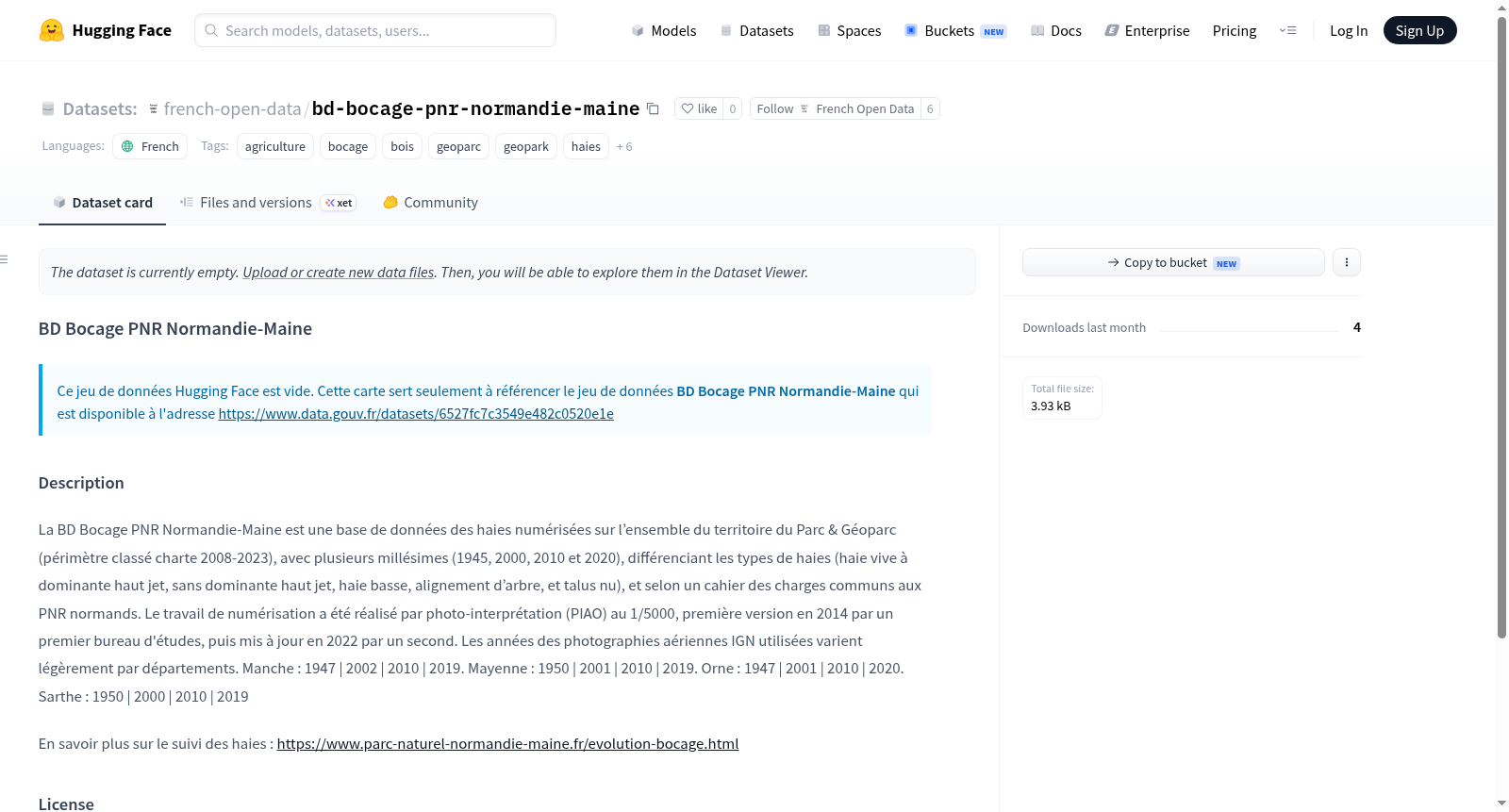
Data-Gouv-FR/bd-bocage-pnr-normandie-maine
收藏资源简介:
BD Bocage PNR Normandie-Maine 是一个法国诺曼底-缅因地区公园(2008-2023年宪章分类范围)的数字化树篱数据库,包含多个年份(1945年、2000年、2010年和2020年)的数据,区分不同类型的树篱(如以高枝为主的活树篱、无高枝为主的树篱、低树篱、树木排列和裸露土坎),并遵循诺曼底地区公园的共同规范。数字化工作通过航空照片解释(PIAO)在1/5000比例尺下完成,第一版于2014年由首个研究机构创建,2022年由第二个机构更新。使用的法国国家地理研究所(IGN)航空照片年份因省份略有不同:芒什省:1947年、2002年、2010年、2019年;马耶讷省:1950年、2001年、2010年、2019年;奥恩省:1947年、2001年、2010年、2020年;萨尔特省:1950年、2000年、2010年、2019年。
The BD Bocage PNR Normandie-Maine is a database of digitized hedgerows covering the entire territory of the Parc & Géoparc (classified charter perimeter 2008-2023), with multiple vintages (1945, 2000, 2010, and 2020), differentiating types of hedges (such as live hedges dominated by tall shoots, without dominant tall shoots, low hedges, tree alignments, and bare embankments), and based on common specifications for Norman Regional Natural Parks. The digitization work was performed by photo-interpretation (PIAO) at a scale of 1/5000, with the first version created in 2014 by an initial study office, then updated in 2022 by a second one. The years of the IGN aerial photographs used vary slightly by department: Manche: 1947, 2002, 2010, 2019; Mayenne: 1950, 2001, 2010, 2019; Orne: 1947, 2001, 2010, 2020; Sarthe: 1950, 2000, 2010, 2019.