ISASeg
收藏资源简介:
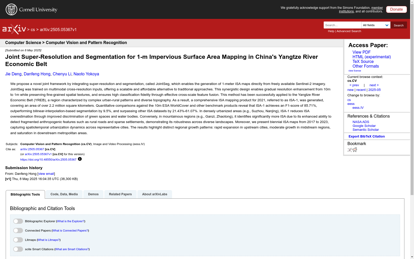
ISASeg数据集由10米分辨率的Sentinel-2图像、1米分辨率的超分辨率图像和相应的1米分辨率的不透水面区域(ISA)标签组成。该数据集包含超过426亿个标记的ISA像素,为大规模区域的细粒度ISA制图研究与应用提供了重要支持。数据集的创建是为了解决中分辨率图像在检测细粒度空间模式方面的局限性,通过深度学习驱动的超分辨率分割方法,利用公开可访问的Sentinel-2图像实现了1米分辨率的不透水面区域制图。数据集的创建过程包括多尺度采样策略、分层随机采样、高分辨率和低分辨率卫星图像的采集以及相应ISA标签的生成。该数据集的应用领域包括可持续城市规划、洪水风险评估和土地利用监测等,旨在支持全球可持续发展目标和城市韧性规划。
The ISASeg dataset consists of 10-meter-resolution Sentinel-2 images, 1-meter-resolution super-resolution images, and corresponding 1-meter-resolution Impervious Surface Area (ISA) labels. This dataset contains over 42.6 billion labeled ISA pixels, providing critical support for fine-grained ISA mapping research and applications in large-scale regions. This dataset was developed to address the limitations of medium-resolution images in detecting fine-grained spatial patterns, and achieves 1-meter-resolution impervious surface area mapping via deep learning-driven super-resolution segmentation methods using publicly accessible Sentinel-2 images. The dataset construction process includes multi-scale sampling strategies, stratified random sampling, collection of high-resolution and low-resolution satellite images, and generation of corresponding ISA labels. Application scenarios of this dataset include sustainable urban planning, flood risk assessment, land use monitoring and other fields, aiming to support the Global Sustainable Development Goals and urban resilience planning.