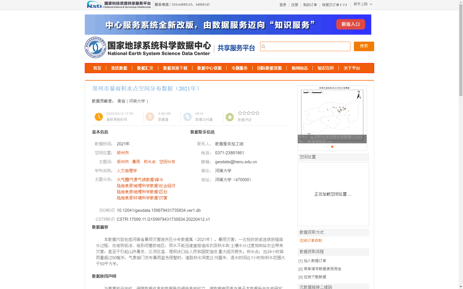
郑州市暴雨积水点空间分布数据(2021年)
收藏国家地球系统科学数据中心2022-04-12 更新2024-03-04 收录
下载链接:
https://www.geodata.cn/data/datadetails.html?dataguid=159979431735834&docId=9392
下载链接
链接失效反馈官方服务:
资源简介:
本数据内容包括河南省暴雨灾害泄洪区分布数据集(2021年)。暴雨灾害:一次短时的或连续的强降水过程,在地势低洼、地形闭塞的地区,雨水不能迅速宣泄造成农田积水和 土壤水分过度饱和给农业带来灾害;甚至于引起山洪暴发、江河泛滥、堤坝决口给人民和国家造成 重大经济损失。积水点:当24小时降雨量超过50毫米,气象部门发布暴雨蓝色预警时,道路积水深度达15厘米、退水时间达1小时和积水范围大于50平方米。
This dataset contains the distribution dataset of flood discharge areas during rainstorm disasters in Henan Province (2021). A rainstorm disaster refers to a short-term or continuous heavy precipitation event. In areas with low-lying terrain and closed topography, rainwater cannot drain quickly, resulting in farmland waterlogging and excessive soil moisture saturation, which causes disasters to agriculture; it may even trigger mountain torrents, river floods and dam breaches, causing significant economic losses to the people and the country. A waterlogging point is defined as a location that meets the following criteria: the 24-hour rainfall exceeds 50 mm, the meteorological department issues a blue rainstorm warning, the road waterlogging depth reaches 15 cm, the water receding time lasts 1 hour, and the waterlogging area is greater than 50 square meters.
提供机构:
河南大学创建时间:
2022-04-12
搜集汇总
数据集介绍
背景与挑战
背景概述
该数据集提供了2021年郑州市暴雨积水点的空间分布信息,基于官方渠道收集整理,数据质量经过严格审查。它适用于人文地理学、气象气候和灾害研究等领域,帮助分析暴雨灾害的影响和城市积水点的分布特征。
以上内容由遇见数据集搜集并总结生成


