
XA-L&RSI
收藏资源简介:
XA-L&RSI数据集是由厦门大学福建省智能城市感知与计算重点实验室构建的,该数据集包含大约110,000个高分辨率遥感子图和13,000个与之对应的激光雷达点云子图,这些子图均采集自厦门翔安区的城市场景。数据集旨在用于跨视图激光雷达定位研究,减少对预先构建的3D地图的依赖,通过利用易于获取的空中影像作为地图代理。数据集在语义域中展示了激光雷达点云和遥感影像之间的强烈相关性,适用于大规模城市场景的定位研究。
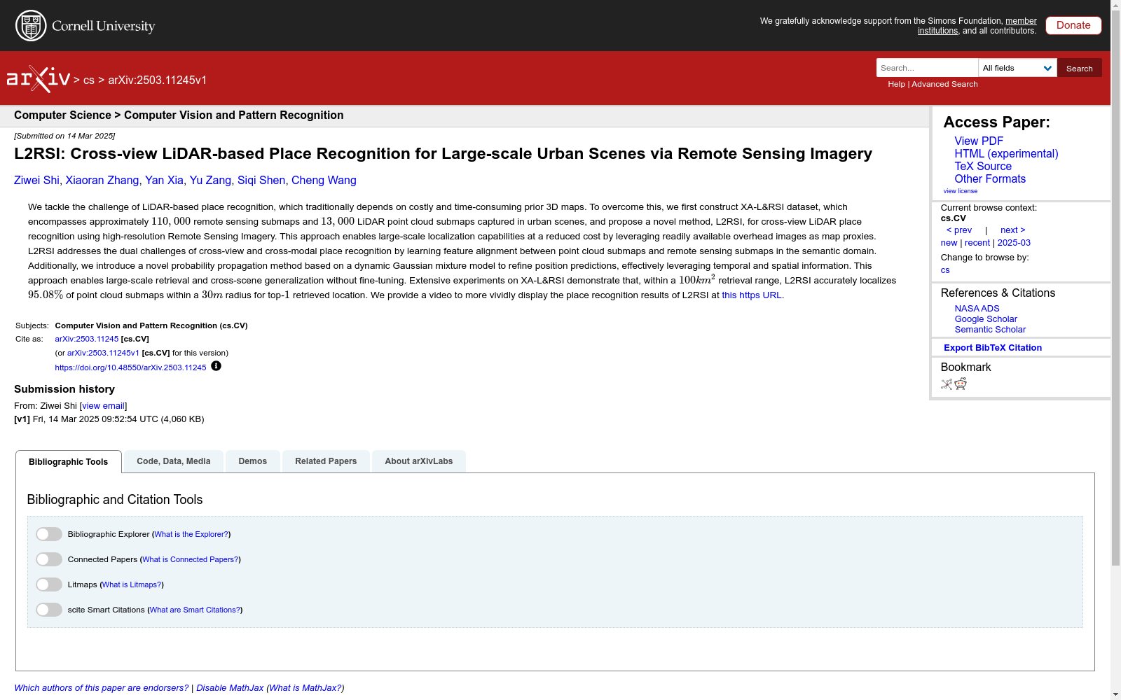
The XA-L&RSI Dataset was constructed by the Fujian Provincial Key Laboratory of Smart City Perception and Computing, Xiamen University. It contains approximately 110,000 high-resolution remote sensing sub-images and 13,000 corresponding LiDAR point cloud sub-images, all collected from urban scenarios in Xiang'an District, Xiamen. This dataset is intended for cross-view LiDAR localization research, aiming to reduce reliance on pre-built 3D maps by leveraging easily accessible aerial imagery as a map proxy. It demonstrates a strong correlation between LiDAR point clouds and remote sensing images in the semantic domain, making it suitable for localization studies in large-scale urban scenarios.
- 1L2RSI: Cross-view LiDAR-based Place Recognition for Large-scale Urban Scenes via Remote Sensing Imagery厦门大学 · 2025年


