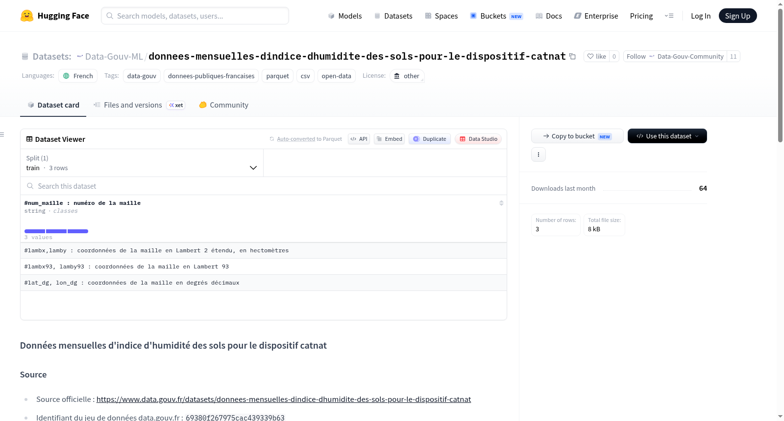
Data-Gouv-FR/donnees-mensuelles-dindice-dhumidite-des-sols-pour-le-dispositif-catnat
收藏资源简介:
该数据集提供了用于法国自然灾害(Catnat)装置的月度土壤湿度指数(SWI)数据。SWI(土壤湿度指数)是一个科学文献中记录的土壤湿度指标,表示在约两米深度范围内,土壤储水量相对于可用储水(植物可用水)的状态。具体来说,这里的SWI统一指数是由SIM模型计算,并被法国气象局用于Catnat跨部门委员会报告中的数据,专门用于自然灾害(如干旱)评估。数据覆盖法国本土,采用固定的8公里网格划分(共8,981个网格),每个网格编号并覆盖一个或多个市镇。数据按月提供,每个月的值是当月日SWI统一指数的平均值。数据格式为CSV,包含5列:网格编号、x坐标(Lambert 93投影)、y坐标(Lambert 93投影)、日期和SWI值。需要注意的是,这些数据基于Catnat特定配置的SIM模型,仅适用于该特定用途,不应用于其他涉及表层土壤湿度的问题。
This dataset provides monthly Soil Water Index (SWI) data for the French natural disaster (Catnat) system. The SWI (Soil Water Index) is a soil moisture indicator documented in scientific literature, denoting the state of soil water storage relative to plant-available water storage within a depth of approximately two meters. Specifically, the unified SWI in this dataset is calculated by the SIM model, and is utilized by Météo-France in the reports of the Catnat Interministerial Committee, exclusively for natural disaster (e.g., drought) assessment. The data covers metropolitan France, divided into a fixed 8-kilometer grid system with a total of 8,981 grids; each grid is assigned a unique number and covers one or more French communes. The data is released monthly, with the value for each month being the average of the daily unified SWI indices during that month. The data is stored in CSV format, containing five columns: grid number, x-coordinate (Lambert 93 projection), y-coordinate (Lambert 93 projection), date, and SWI value. It should be noted that this data is based on the SIM model configured specifically for Catnat, and is only applicable for this specific purpose, and should not be used for other issues involving surface soil moisture.