U-EASWS
收藏资源简介:
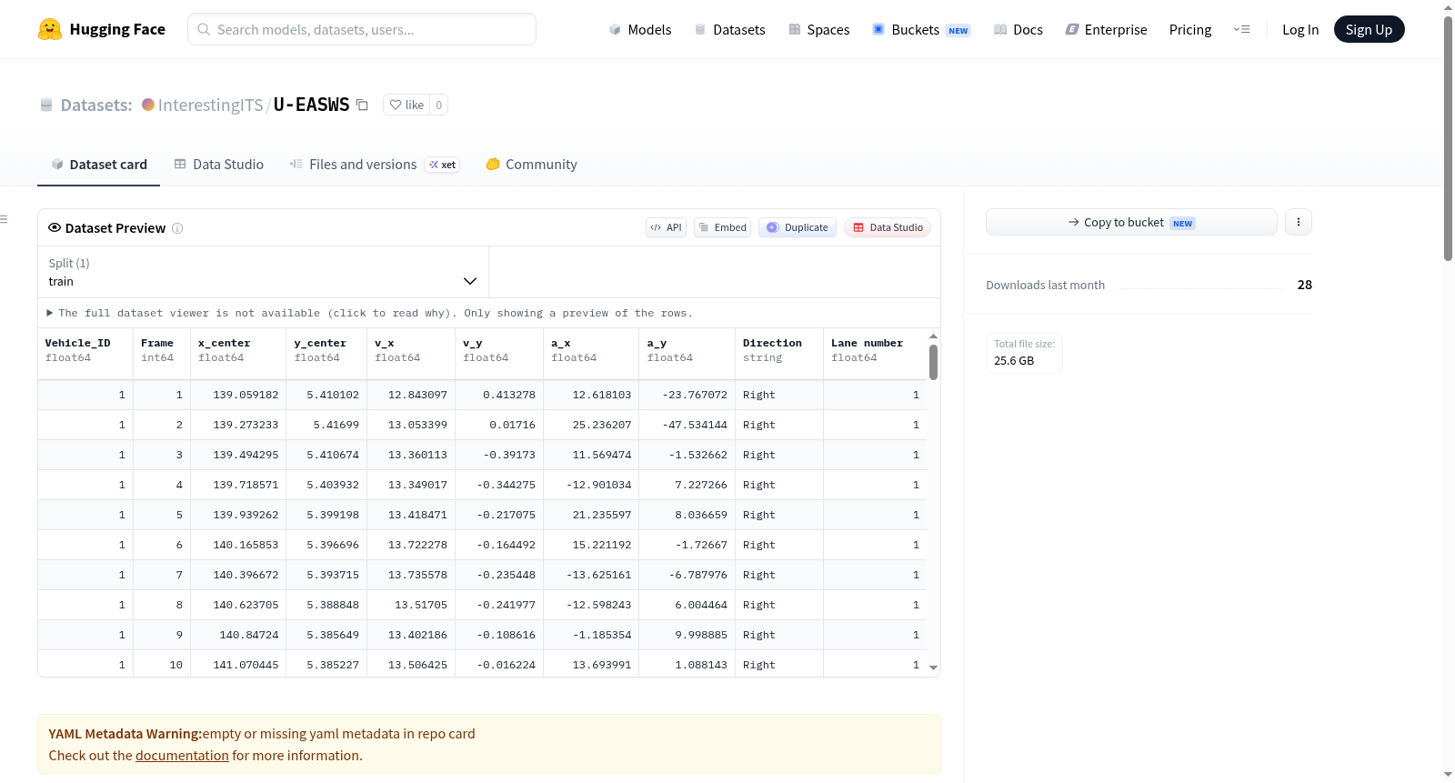
U-EASWS是一个面向城市快速路A型短交织段的无人机车辆轨迹数据集,集成了交互与风险语义标注。该数据集旨在填补该特定道路场景缺乏开源轨迹数据的空白,为复杂几何条件下微观驾驶行为建模提供高保真数据支持。数据集覆盖中国长春7个典型A型短交织段场景,包含自然交通流下的多样化交通状态与几何条件。数据内容分为三个标准化层次:1) 高保真连续车辆轨迹,通过微调YOLOv8模型进行检测与跟踪,经PCHIP插值和sEMA滤波重建,确保运动学参数的物理一致性并有效消除像素抖动与跟踪噪声;2) 同步替代安全指标,计算并与轨迹时间戳对齐,包括碰撞时间(TTC)、侵入后时间(PET)和避撞减速率(DRAC);3) 空间交互与强度语义,基于邻近阻力理论标注车辆间空间交互关系与交互强度,以捕捉交织区高空间压力下的复杂多车博弈动态。数据集支持微观交通流与驾驶行为研究,具体任务包括:微观驾驶行为建模与验证、自由与强制换道行为分析、交通替代安全评估与冲突识别、多车交互机制与博弈动力学研究、以及交织段交通仿真模型校准。数据通过无人机航拍平台收集,并经过系统技术验证,证实了其在密集交通条件下的检测精度与跟踪稳定性、平滑且物理一致的运动学数据生成能力,以及对传统指标无法完全表征的复杂博弈动态的捕捉能力。
U-EASWS is a UAV-based vehicle trajectory dataset targeting Type A short weaving segments on urban expressways, integrated with interaction and risk semantic annotations. This dataset aims to fill the gap of lacking open-source trajectory data for this specific road scenario, providing high-fidelity data support for microscopic driving behavior modeling under complex geometric conditions. The dataset covers 7 typical Type A short weaving segment scenarios in Changchun, China, encompassing diverse traffic states and geometric conditions under natural traffic flow. The dataset content is divided into three standardized layers: 1) High-fidelity continuous vehicle trajectories: reconstructed using a fine-tuned YOLOv8 model for detection and tracking, followed by PCHIP interpolation and sEMA filtering to ensure physical consistency of kinematic parameters and effectively eliminate pixel jitter and tracking noise; 2) Synchronized surrogate safety metrics: calculated and aligned with trajectory timestamps, including Time-to-Collision (TTC), Post-Encroachment Time (PET), and Deceleration Rate to Avoid Crash (DRAC); 3) Spatial interaction and intensity semantics: vehicle-to-vehicle spatial interaction relationships and interaction intensities are annotated based on the Proximity Resistance Theory, to capture complex multi-vehicle game dynamics under high spatial pressure in weaving zones. The dataset supports microscopic traffic flow and driving behavior research, with specific application tasks including: microscopic driving behavior modeling and validation, free and mandatory lane change behavior analysis, traffic surrogate safety assessment and conflict identification, multi-vehicle interaction mechanism and game dynamics research, and traffic simulation model calibration for weaving segments. The data was collected via a UAV aerial photography platform, and has undergone systematic technical validation, which verifies its detection accuracy and tracking stability under dense traffic conditions, its capability to generate smooth and physically consistent kinematic data, and its capacity to capture complex game dynamics that cannot be fully characterized by traditional metrics.
数据集名称
U-EASWS:城市快速路A型短交织区无人机车辆轨迹数据集(集成交互与风险语义标注)
数据类型
- 高保真连续车辆轨迹:通过微调YOLOv8检测与跟踪模型提取,经PCHIP插值和sEMA滤波重建,所有运动学参数通过物理一致性校验,消除像素抖动与跟踪噪声。
- 同步替代安全度量:多维度交通风险指标,包括碰撞时间(TTC)、后侵占时间(PET)、避免碰撞减速率(DRAC),并与轨迹时间戳对齐。
- 空间交互与强度语义:基于近距阻力理论标注车辆间空间交互关系与交互强度,刻画交织区高空间压力下的复杂多车博弈动态。
数据采集
- 采集平台:无人机航拍
- 覆盖范围:中国长春市城市快速路7个典型A型短交织区
- 场景:自然交通流,涵盖不同交通状态与几何条件
处理流程
- 车辆检测与多目标跟踪(微调YOLOv8)
- 轨迹重建与去噪(PCHIP插值 + sEMA滤波)
- 运动学参数计算与物理一致性校验
- 替代安全度量计算与时间戳对齐
- 基于近距阻力理论的空间交互语义标注
支持任务
- 微观驾驶行为建模与模型验证
- 自由型与强制型换道行为分析
- 交通替代安全评估与冲突识别
- 多车交互机制与博弈动力学研究
- 交织区交通仿真模型标定
技术验证
- 密集交通条件下车辆检测精度与身份跟踪稳定性优异
- 有效消除像素抖动与跟踪噪声,获得平滑、物理一致的车辆运动数据
- 成功捕捉高空间压力下的波动驾驶行为,揭示常规指标无法完全描述的复杂多车博弈动态
许可证
CC BY 4.0