不同SSP情景下青藏高原冻土分布图集(2016-2100)
收藏资源简介:
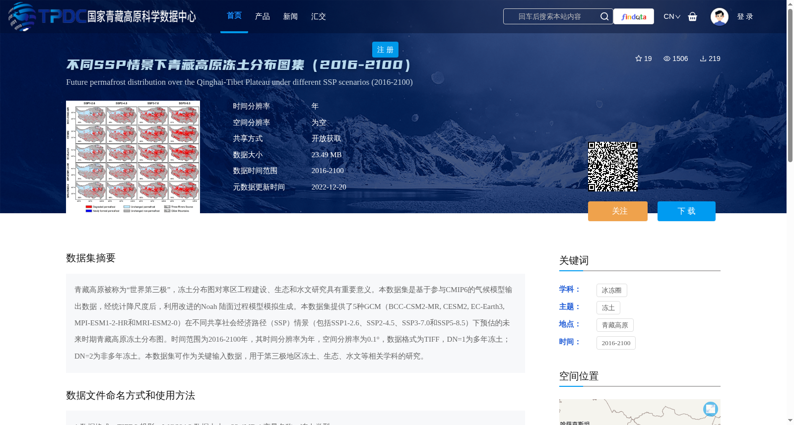
青藏高原被称为“世界第三极”,冻土分布图对寒区工程建设、生态和水文研究具有重要意义。本数据集是基于参与CMIP6的气候模型输出数据,经统计降尺度后,利用改进的Noah 陆面过程模型模拟生成。本数据集提供了5种GCM(BCC-CSM2-MR, CESM2, EC-Earth3, MPI-ESM1-2-HR和MRI-ESM2-0)在不同共享社会经济路径(SSP)情景(包括SSP1-2.6、SSP2-4.5、SSP3-7.0和SSP5-8.5)下预估的未来时期青藏高原冻土分布图。时间范围为2016-2100年,其时间分辨率为年,空间分辨率为0.1°,数据格式为TIFF,DN=1为多年冻土;DN=2为非多年冻土。本数据集可作为关键输入数据,用于第三极地区冻土、生态、水文等相关学科的研究。
Permafrost distribution maps of the Qinghai-Tibet Plateau, known as the "Third Pole of the World", are of critical importance for cold region engineering construction, ecological and hydrological research. This dataset was generated via simulations using the improved Noah Land Surface Model, based on the output data of climate models participating in CMIP6 after statistical downscaling. This dataset provides projected permafrost distribution maps of the Qinghai-Tibet Plateau for the future period from 2016 to 2100 from five GCMs (BCC-CSM2-MR, CESM2, EC-Earth3, MPI-ESM1-2-HR and MRI-ESM2-0) under different Shared Socioeconomic Pathways (SSP) scenarios, including SSP1-2.6, SSP2-4.5, SSP3-7.0 and SSP5-8.5. The temporal coverage spans from 2016 to 2100, with an annual temporal resolution, a spatial resolution of 0.1°, and the data is stored in TIFF format. DN=1 denotes permafrost, while DN=2 denotes non-permafrost. This dataset can serve as key input data for research in related disciplines such as permafrost, ecology and hydrology in the Third Pole region.