SA-Occ Dataset
收藏资源简介:
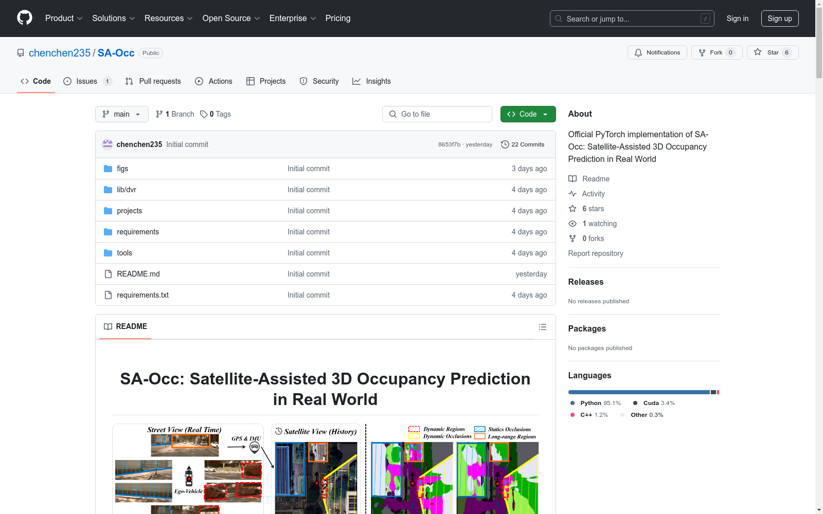
SA-Occ数据集是中国科学院空天信息研究院等机构创建的,用于卫星辅助3D占有率预测的第一个实时卫星图像数据集。该数据集利用GPS和IMU数据从Google Earth获取卫星图像,补充了现有的仅依赖街道视图的3D占有率预测方法。数据集整合了卫星和街道视图,旨在解决动态目标和远距离区域的感知问题,为自动驾驶提供增强的感知能力。
The SA-Occ dataset is the first real-time satellite image dataset dedicated to satellite-aided 3D occupancy prediction, developed by the Aerospace Information Research Institute of the Chinese Academy of Sciences and other relevant institutions. It acquires satellite imagery from Google Earth using GPS and IMU data, complementing existing 3D occupancy prediction methods that solely rely on street view data. By integrating both satellite and street view data, this dataset aims to address perception challenges posed by dynamic objects and distant regions, providing enhanced perception capabilities for autonomous driving.