Data-Gouv-FR/decoupage-administratif-communal-francais-issu-d-openstreetmap
收藏资源简介:
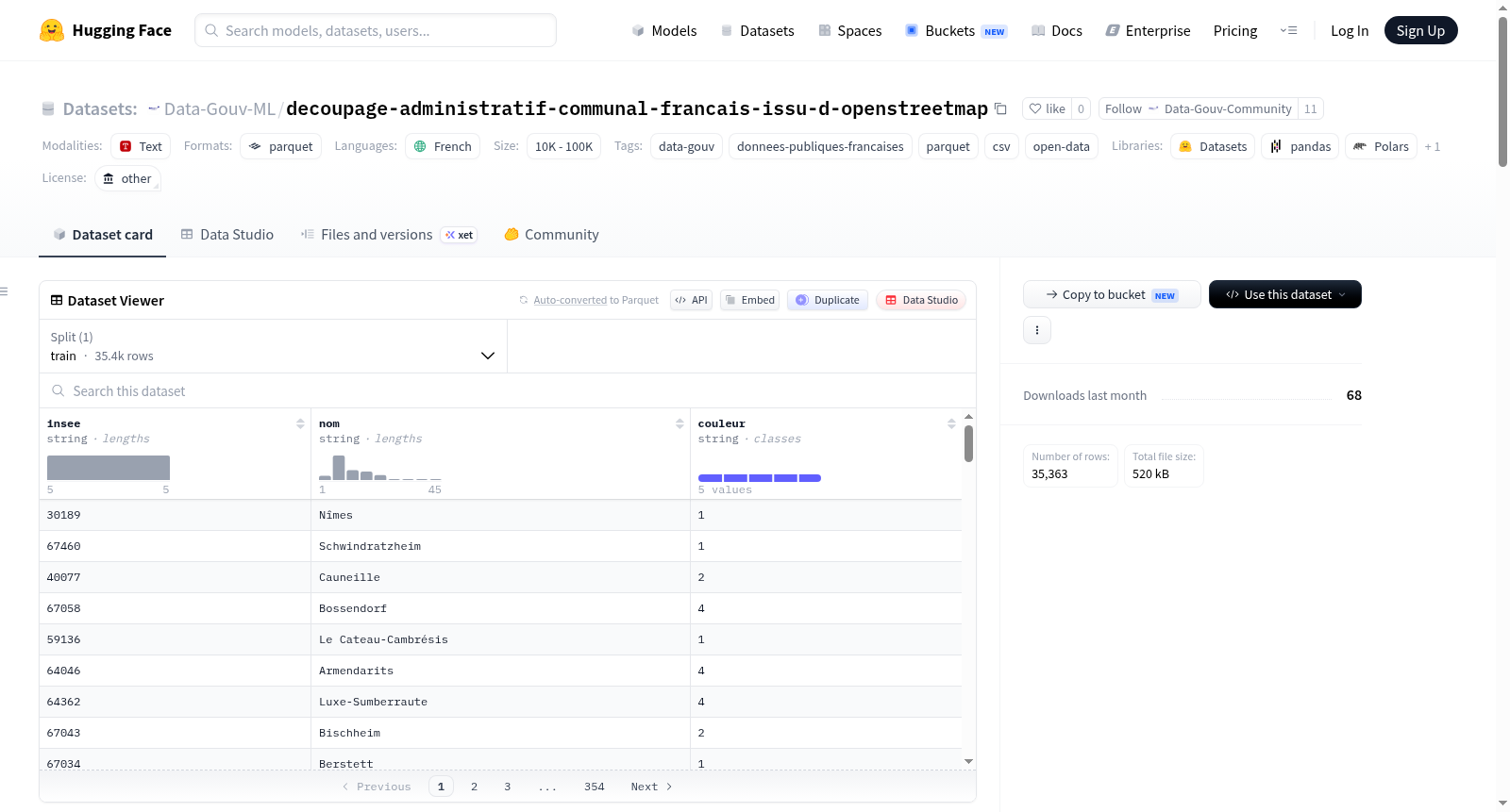
该数据集提供了法国市镇级行政区划数据,来源于OpenStreetMap,主要基于法国地籍数据。数据包括法国本土、海外省、马约特岛和圣皮埃尔和密克隆群岛的所有市镇边界。对于巴黎、里昂和马赛,提供了区级边界而非市镇边界。每条记录包含以下属性:INSEE代码(5位字符)、市镇名称(符合地名命名规则)、维基百科条目(语言代码和文章名称)以及面积(公顷)。数据以多种格式提供,包括Shapefile(WGS84投影,具有5米、50米和100米简化级别)、CSV和Parquet。数据集经过多次更新,涵盖了截至2021年的市镇合并和名称变更。数据遵循ODbL许可,要求注明来源为© les contributeurs dOpenStreetMap sous licence ODbL。
This dataset provides French administrative division data at the municipal level, sourced from OpenStreetMap and primarily based on French cadastral data. It includes boundaries for all French communes, covering mainland France, overseas departments, Mayotte, and Saint-Pierre-et-Miquelon. For Paris, Lyon, and Marseille, district boundaries are provided instead of municipal boundaries. Each record contains the following attributes: INSEE code (5 characters), commune name (following toponymy rules), Wikipedia entry (language code and article name), and area in hectares. The data is available in multiple formats, including Shapefile (WGS84 projection with simplification levels of 5m, 50m, and 100m), CSV, and Parquet. The dataset has been updated multiple times to incorporate commune mergers and name changes up to 2021. It is licensed under ODbL, requiring attribution as © les contributeurs dOpenStreetMap sous licence ODbL.