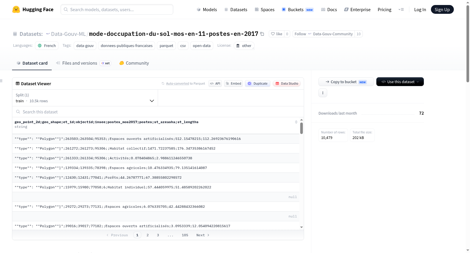
Data-Gouv-FR/mode-doccupation-du-sol-mos-en-11-postes-en-2017
收藏资源简介:
该数据集是2017年法国法兰西岛地区土地利用模式(MOS)的数据,采用11个分类体系,空间分辨率为25米。MOS是法兰西岛地区计算机化的土地利用图集,自1982年首次发布以来定期更新,用于详细跟踪和分析区域土地利用的变化,如城市化扩展、城市结构转变和农村空间转型等。数据基于航空摄影和补充信息源制作,采用数字化屏幕解释技术,提高了精度和可靠性。数据集包含网格化矢量数据,覆盖地理范围从西经1.440529度到东经3.565709度,北纬48.110677度到南纬49.248454度。分类包括森林、半自然区域、农业用地、水域、人工开放空间、独立住宅、集合住宅、商业活动区、公共设施、交通区域以及采石场、垃圾场和工地等11个类别。
Mode doccupation du sol en Ile de France en 2017 en 11 postes de légende au pas de 25m. The Mos (Modes dOccupation du Sol) is the computerized cartographic atlas of land use in Île-de-France. Updated regularly since its first edition in 1982, the Mos allows for detailed tracking and analysis of land use evolution across the entire Regional territory. Data is derived from complete aerial photographic coverage and complementary sources, using digital on-screen interpretation for improved accuracy. The dataset consists of a 25-meter resolution grid in vector format, covering a geographic extent from 1.440529°W to 3.565709°E and 48.110677°N to 49.248454°S. It includes 11 classification codes: Forests, Semi-natural environments, Agricultural areas, Water, Artificialized open spaces, Individual housing, Collective housing, Activities, Equipment, Transport, and Quarries, dumps, and construction sites.